Route 395: Manzanar

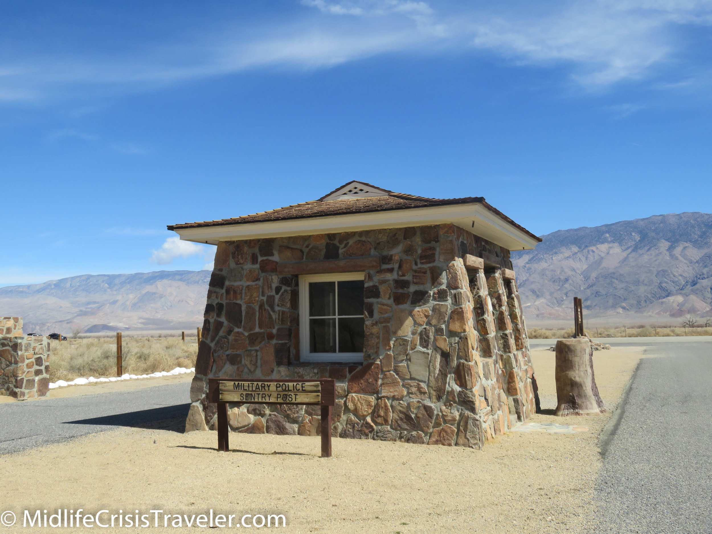
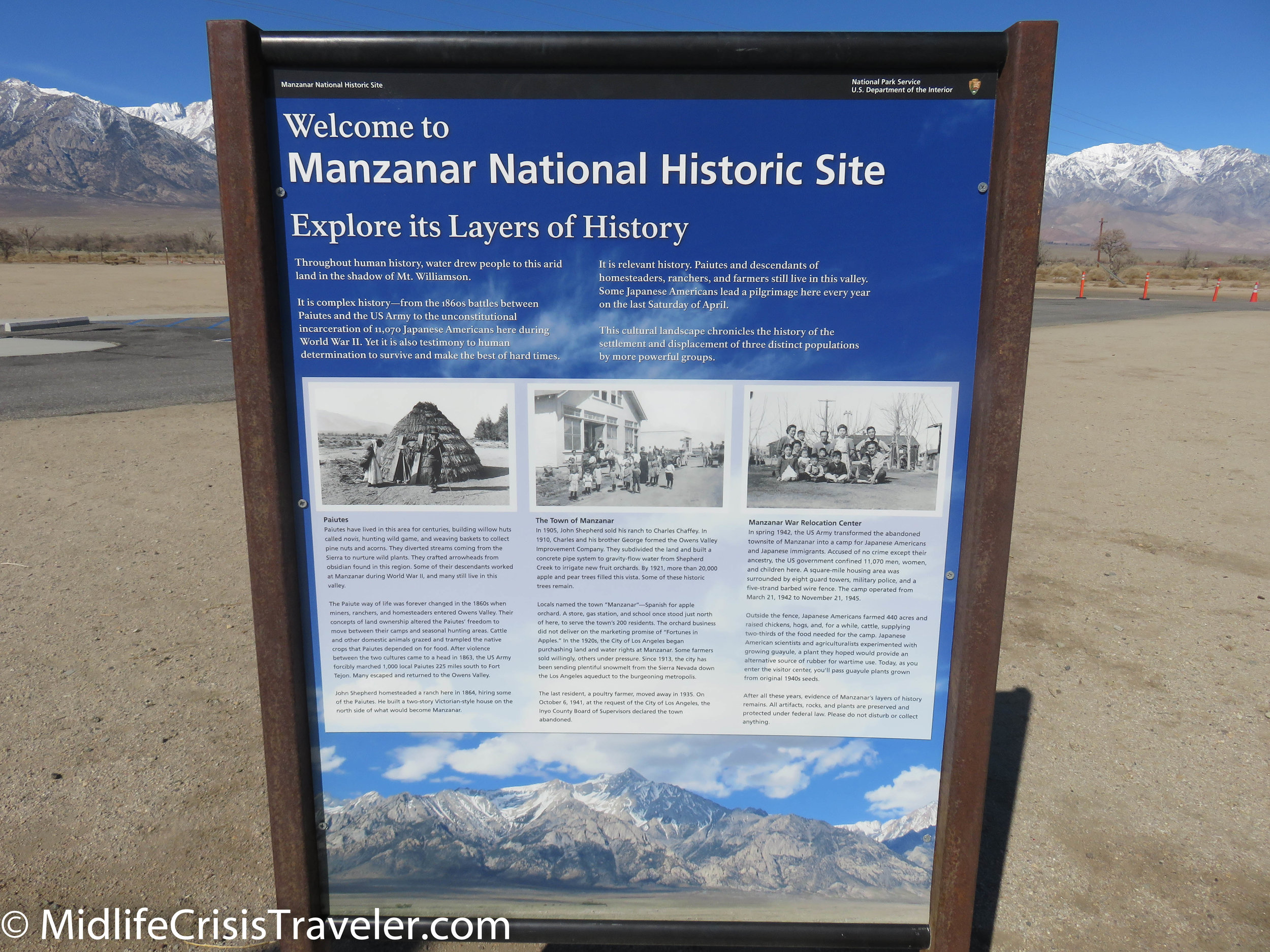
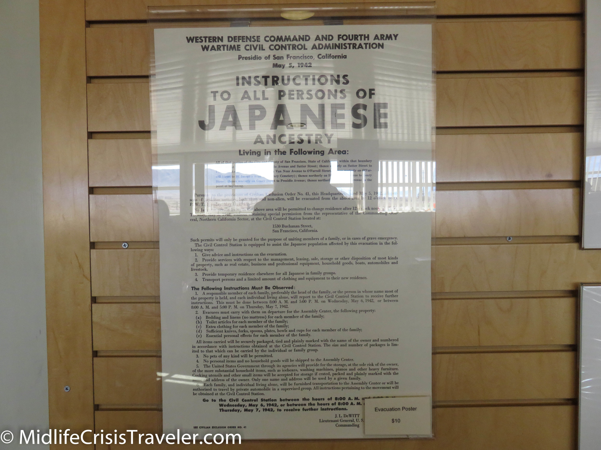
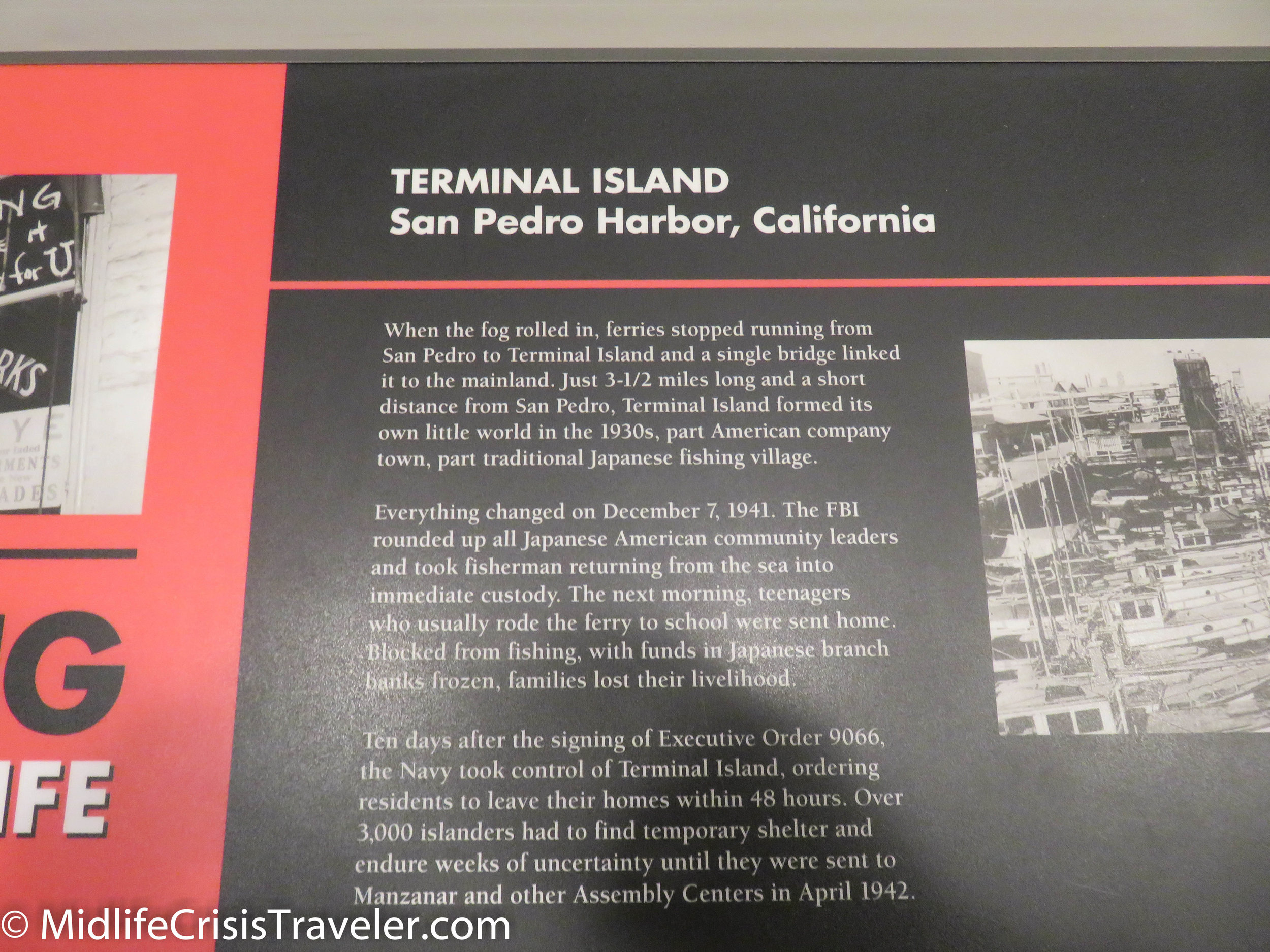
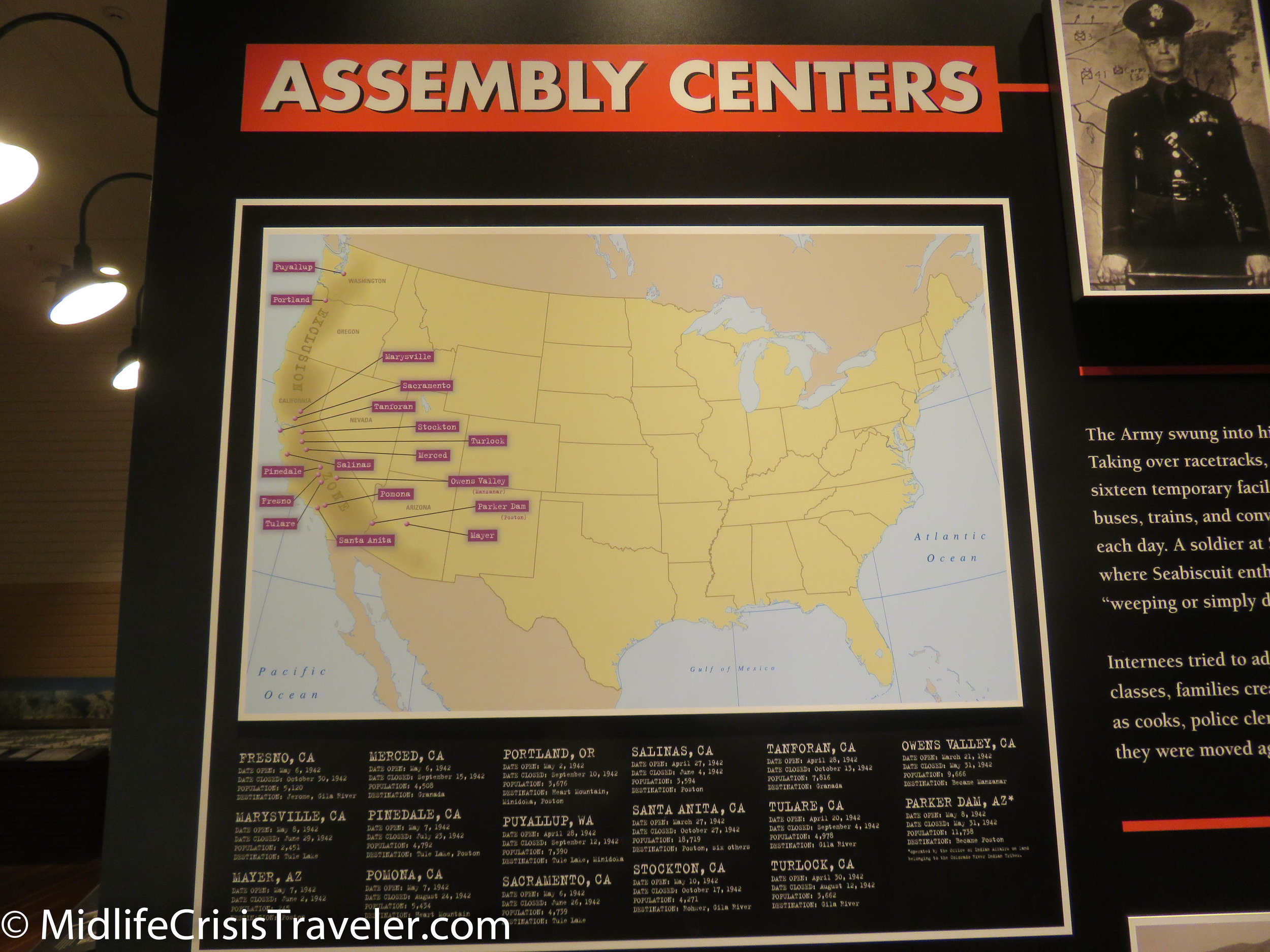
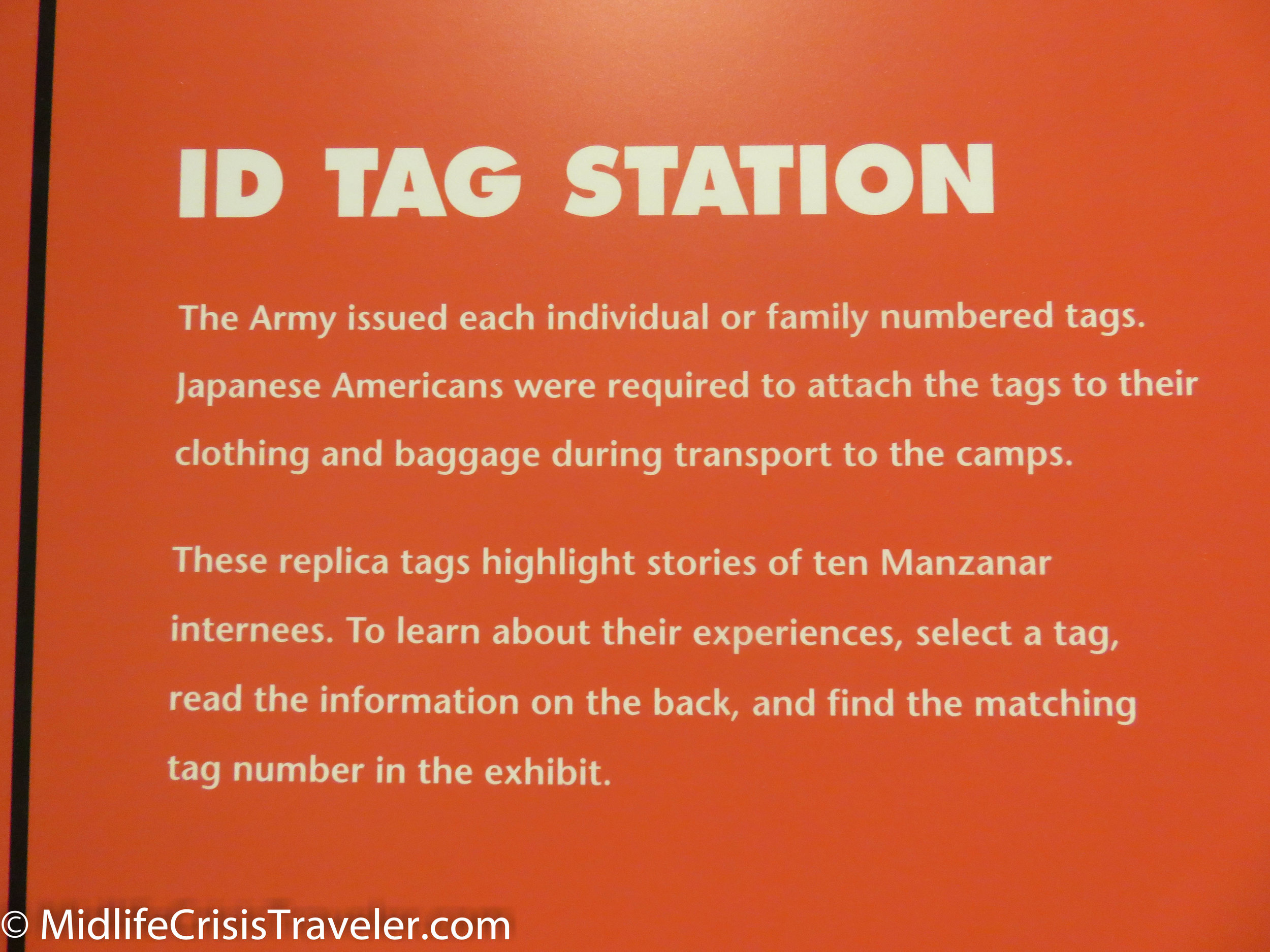
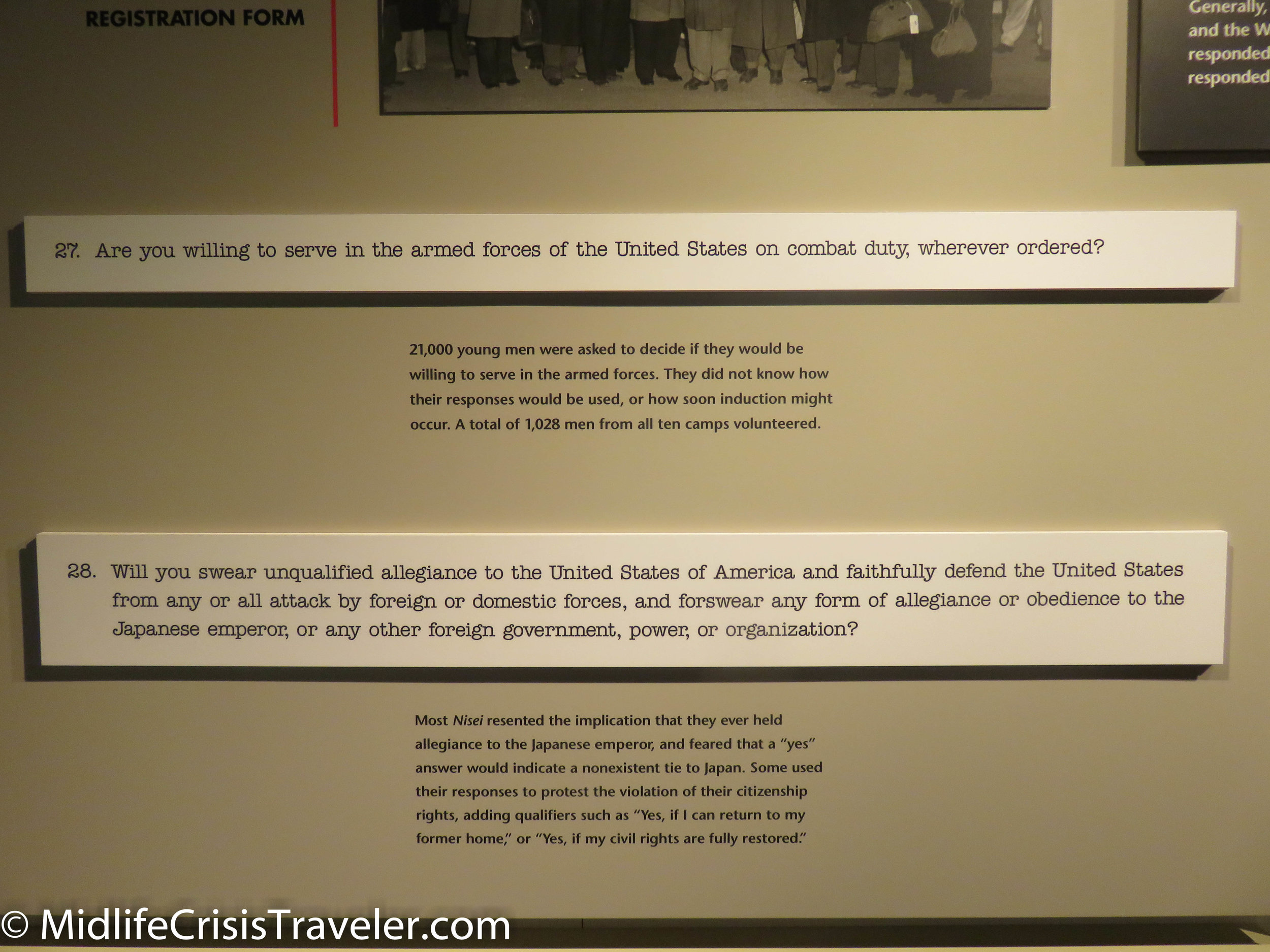
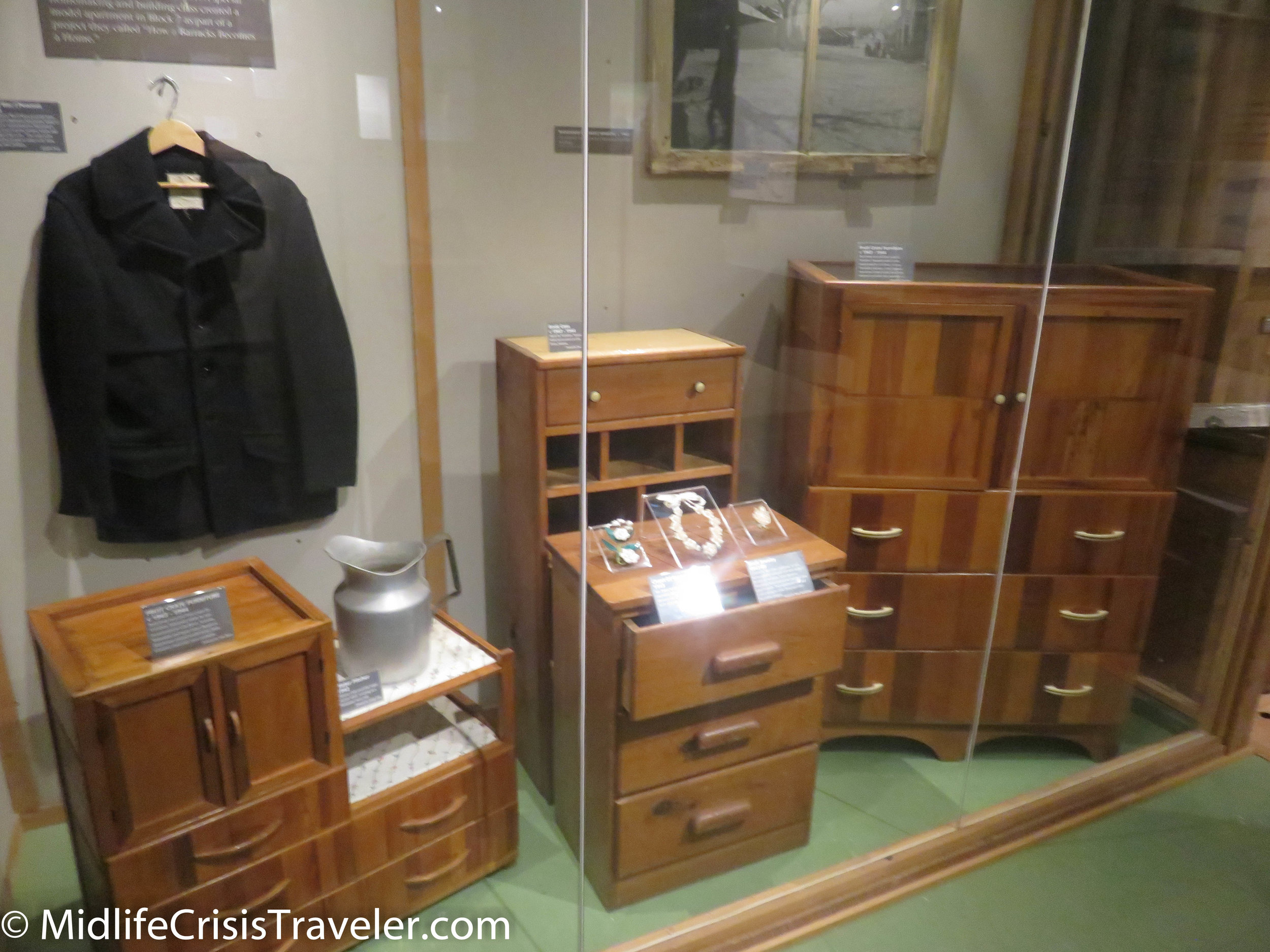
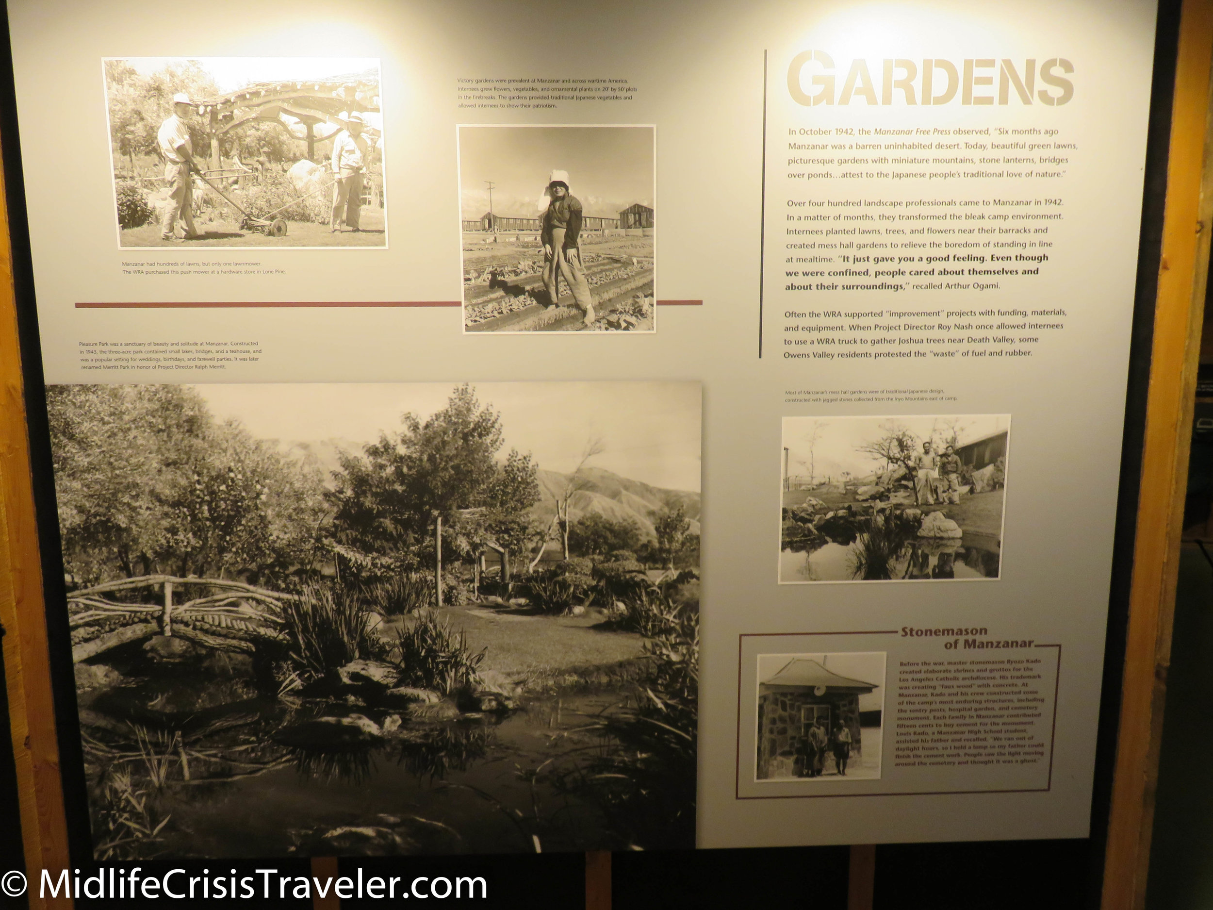
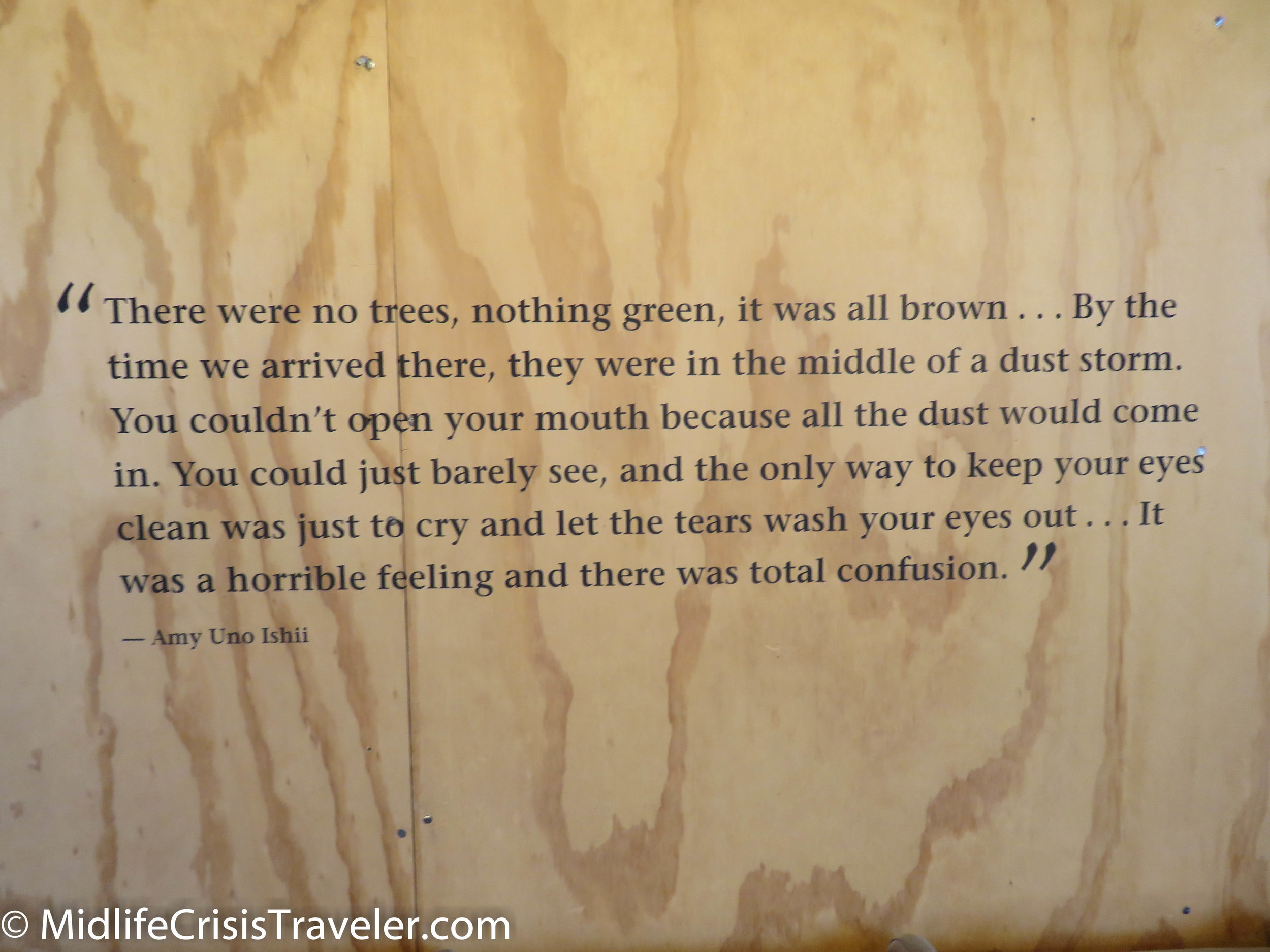
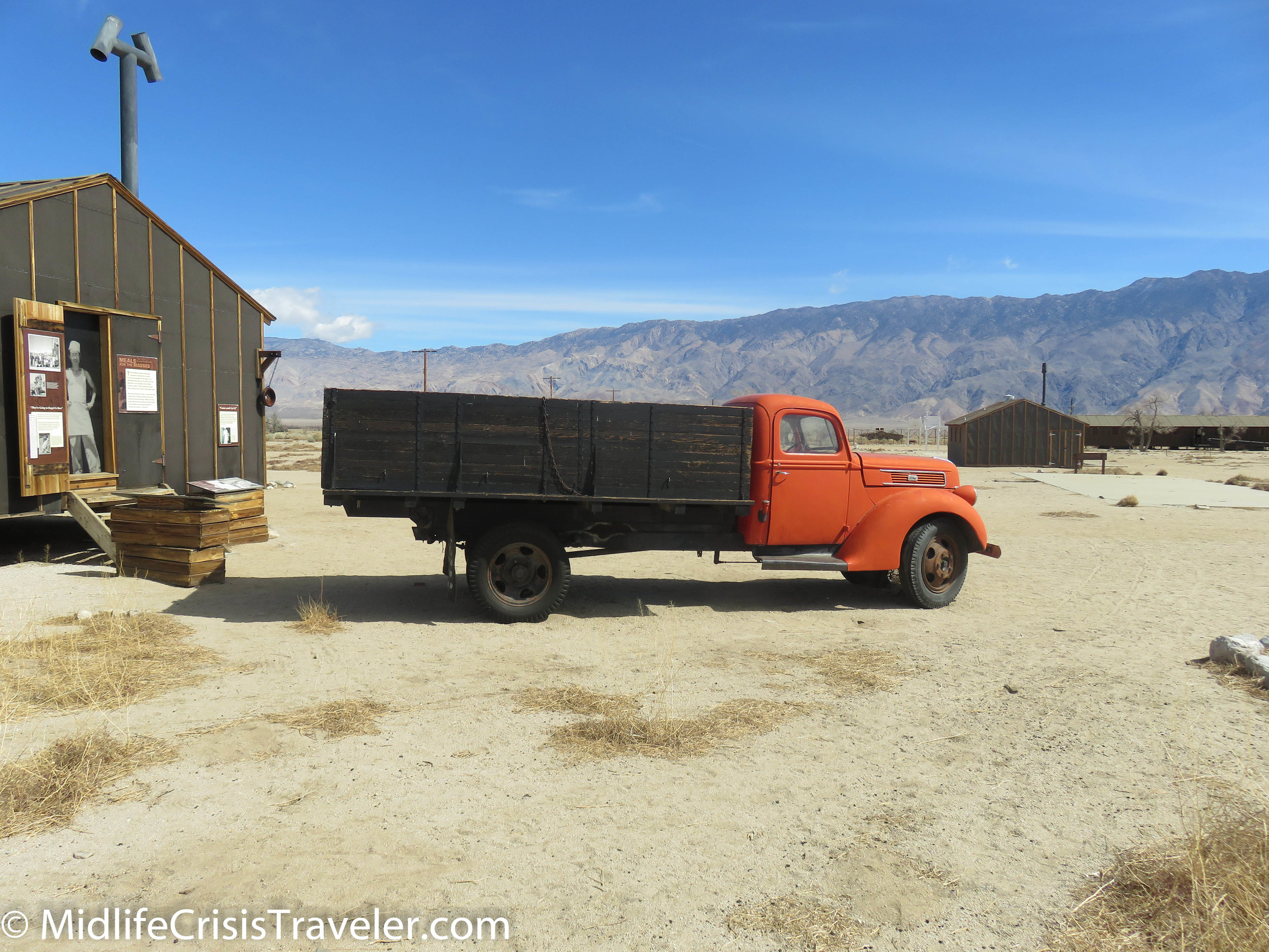
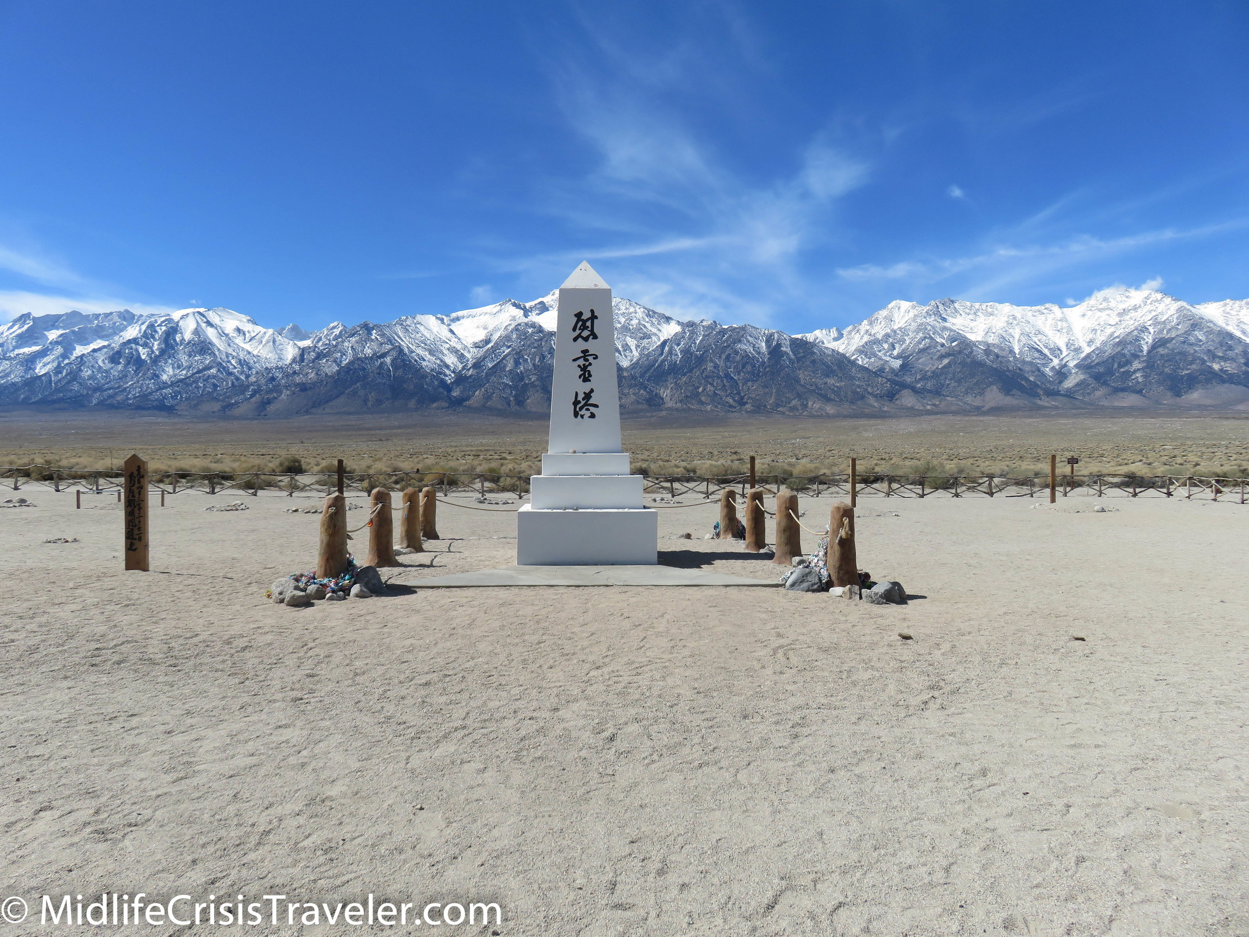
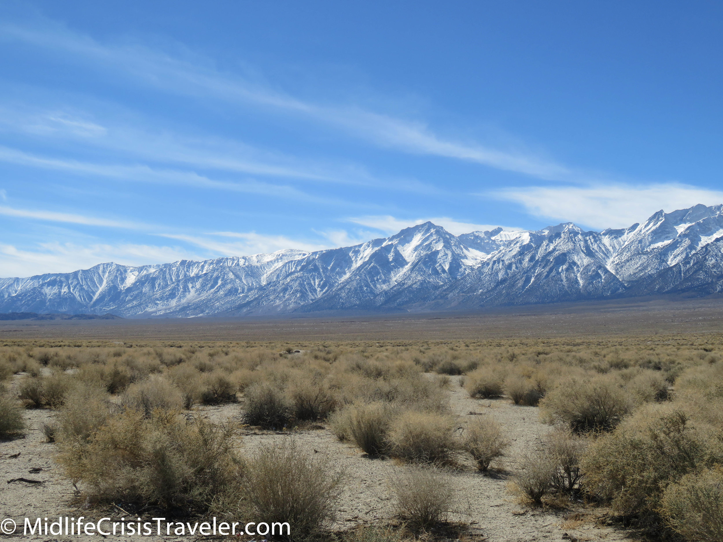
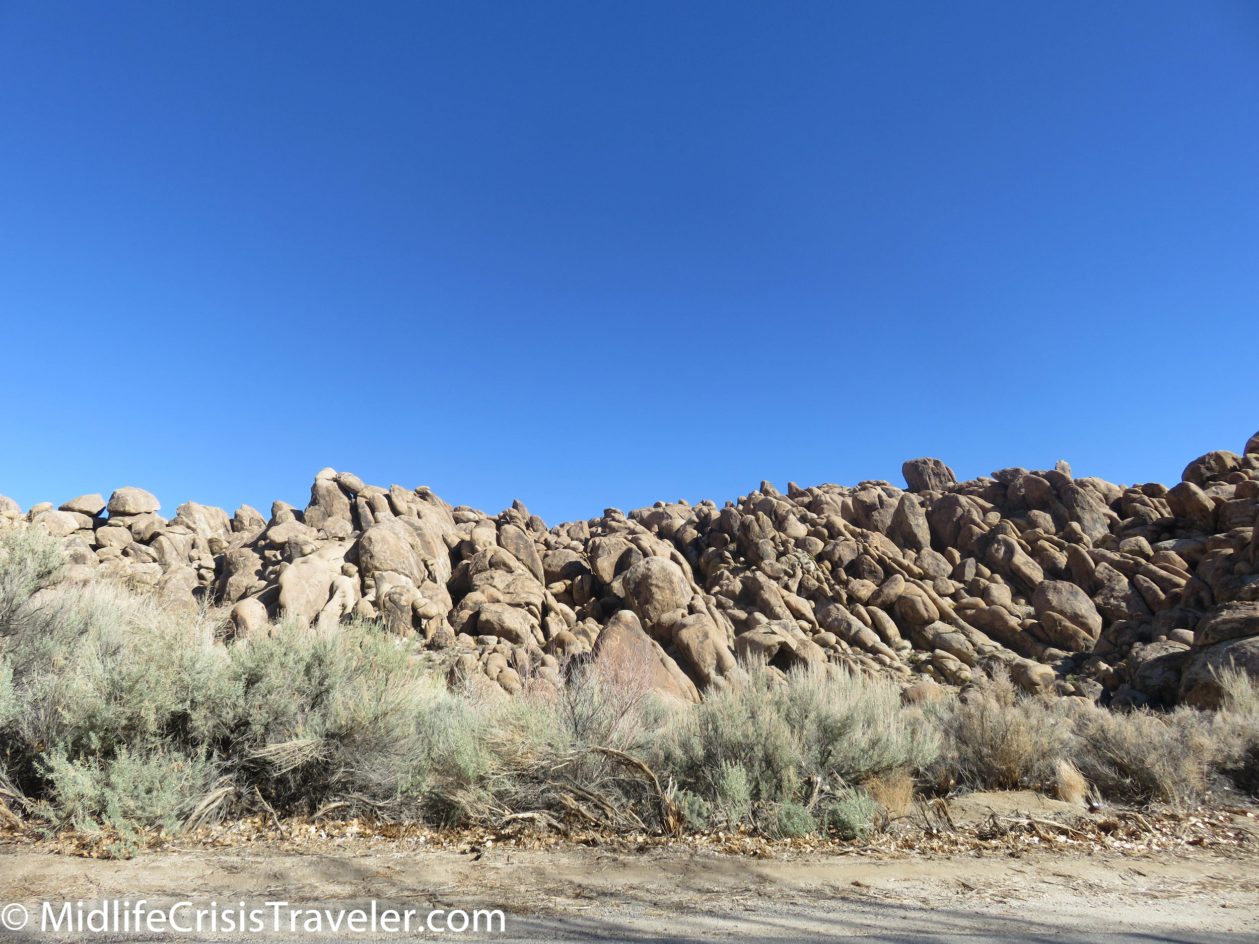
Manzanar was a World War II Japanese Internment Camp located on Route 395 between Lone Pine and Independence California.  I had the opportunity to spend some time in the visitor’s center and took many pictures.  I also watched the video that I posted below.  Please watch the video as it tells many stories of these poor people who had everything taken from them just because of their ancestry.  Although this is a beautiful area, the climate can be difficult.  The living quarters were hastily slapped together and did not always shield the inhabitants from the harsh elements.  Over 11,000 Japanese Americans were processed through Manzanar. 

Manzanar-130.jpg
Manzanar-127.jpg
Manzanar-129.jpg
Manzanar-3.jpg
Manzanar-2.jpg
Manzanar-4.jpg
Manzanar-5.jpg
Manzanar-6.jpg
Manzanar-7.jpg
Manzanar-8.jpg
Manzanar-9.jpg
Manzanar-10.jpg
Manzanar-11.jpg
Manzanar-12.jpg
Manzanar-13.jpg
Manzanar-14.jpg
Manzanar-15.jpg
Manzanar-16.jpg
Manzanar-17.jpg
Manzanar-18.jpg
Manzanar-19.jpg
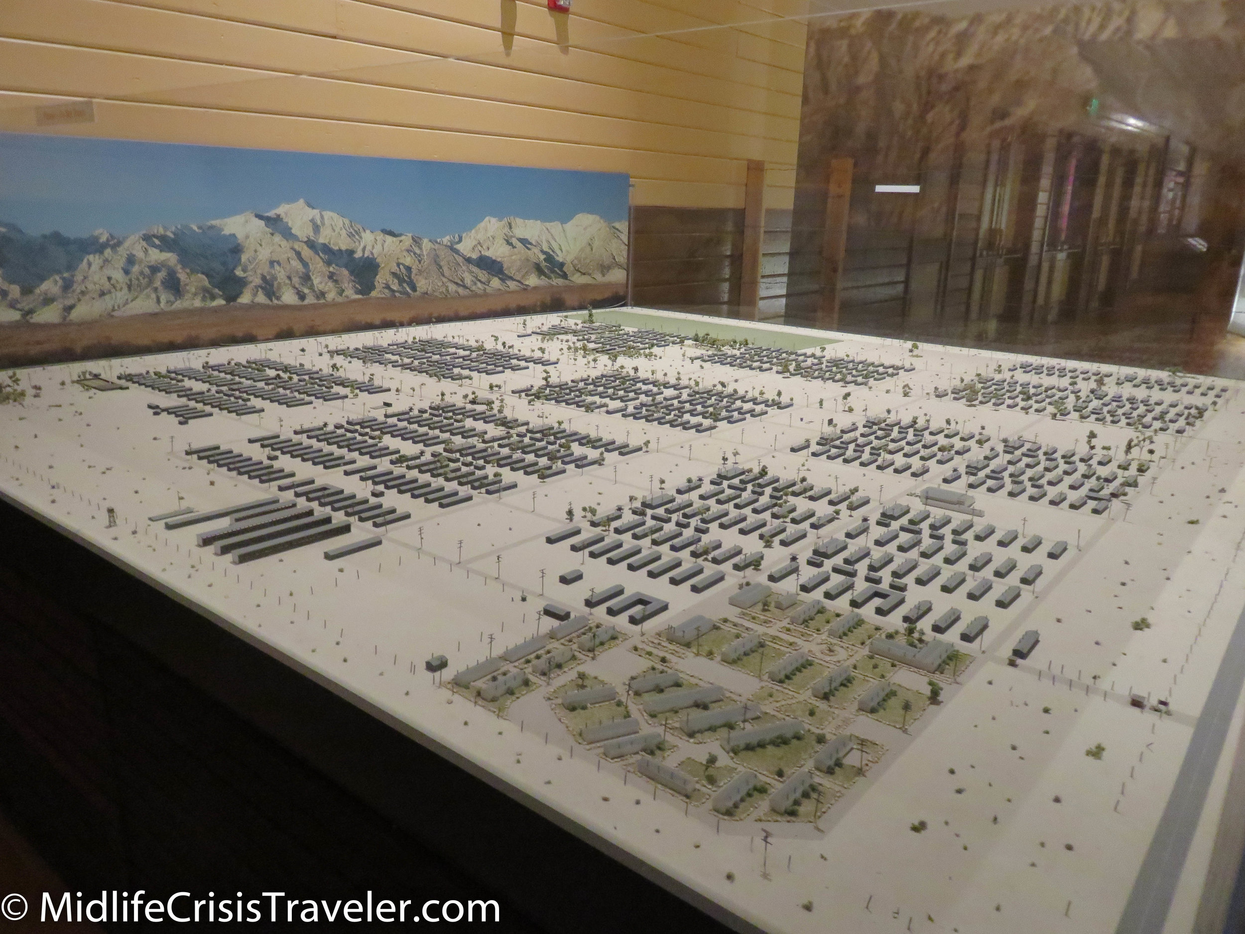
This is a model of what the camp used to look like.  Only a few buildings remain.

This is a model of what the camp used to look like.  Only a few buildings remain.

Manzanar-21.jpg
Manzanar-22.jpg
Manzanar-23.jpg
Manzanar-24.jpg
Manzanar-25.jpg
Manzanar-26.jpg
Manzanar-27.jpg
Manzanar-28.jpg
Manzanar-29.jpg
Manzanar-30.jpg
Manzanar-31.jpg
Manzanar-32.jpg
Manzanar-33.jpg
Manzanar-34.jpg
Manzanar-35.jpg
Manzanar-36.jpg
Manzanar-37.jpg
Manzanar-38.jpg
Manzanar-39.jpg
Manzanar-40.jpg
Manzanar-41.jpg
Manzanar-42.jpg
Manzanar-43.jpg
Manzanar-44.jpg
Manzanar-45.jpg
Manzanar-46.jpg
Manzanar-47.jpg
Manzanar-48.jpg
Manzanar-49.jpg
Manzanar-50.jpg
Manzanar-51.jpg
Manzanar-52.jpg
Manzanar-53.jpg
Manzanar-54.jpg
Manzanar-55.jpg
Manzanar-56.jpg
Manzanar-57.jpg
Manzanar-58.jpg
This is a list of all the people who lived at Manzanar.

This is a list of all the people who lived at Manzanar.

Manzanar-60.jpg
Manzanar-61.jpg
Manzanar-62.jpg
Manzanar-63.jpg
Manzanar-64.jpg
Manzanar-65.jpg
Manzanar-66.jpg
Manzanar-67.jpg
Manzanar-68.jpg
Manzanar-69.jpg
Manzanar-70.jpg
Manzanar-71.jpg
Manzanar-72.jpg
Manzanar-73.jpg
Manzanar-74.jpg
Manzanar-75.jpg
Manzanar-76.jpg
Manzanar-77.jpg
Manzanar-78.jpg
Manzanar-79.jpg
Manzanar-80.jpg
Manzanar-81.jpg
Manzanar-82.jpg
Manzanar-83.jpg
Manzanar-84.jpg
Manzanar-85.jpg
Manzanar-86.jpg
Manzanar-87.jpg
Manzanar-89.jpg
Manzanar-90.jpg
Manzanar-91.jpg
Manzanar-92.jpg
Manzanar-93.jpg
Manzanar-94.jpg
Manzanar-95.jpg
Manzanar-96.jpg
Manzanar-97.jpg
Manzanar-98.jpg
Manzanar-99.jpg
Manzanar-100.jpg
Manzanar-101.jpg
Manzanar-102.jpg
Manzanar-103.jpg
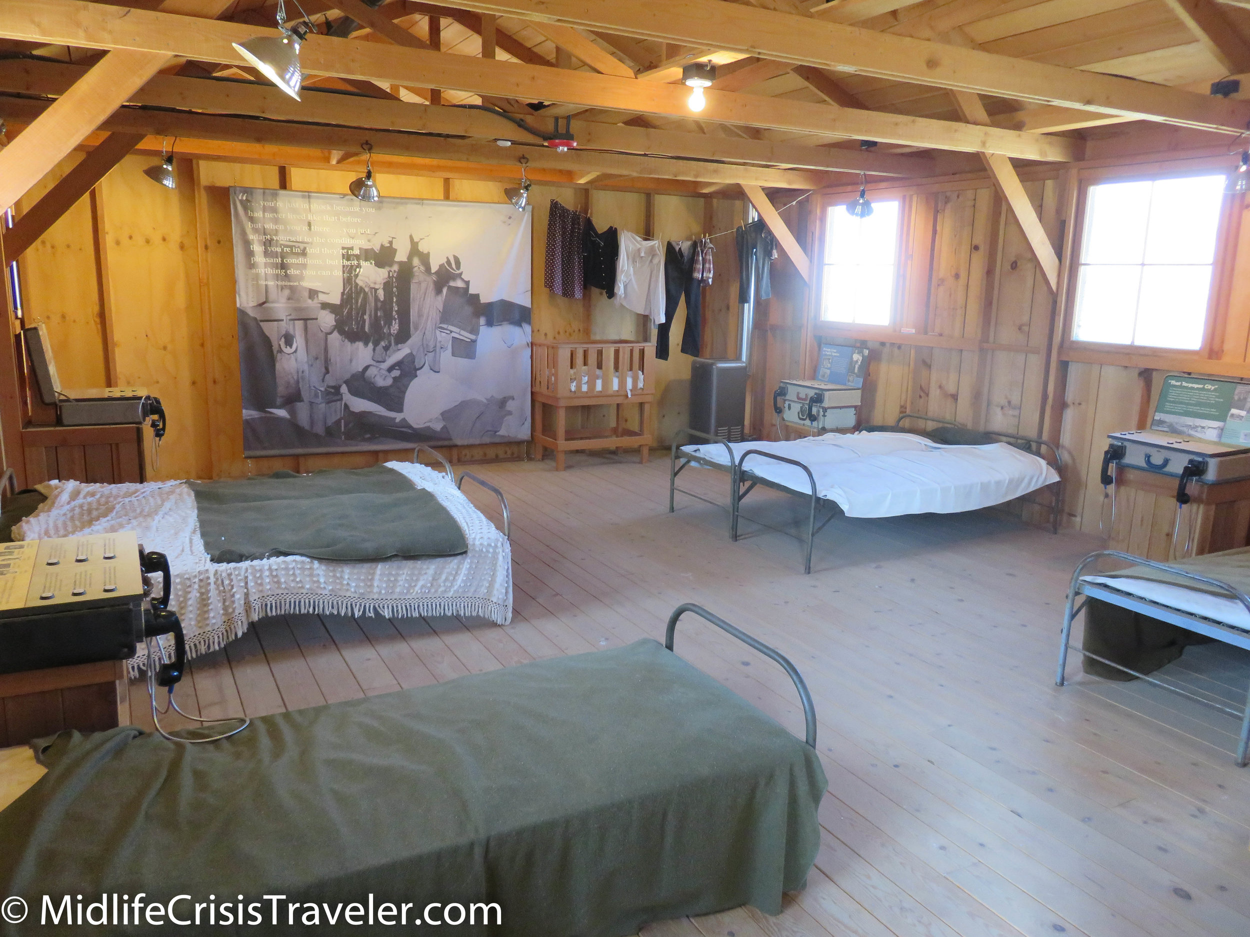
Eight people were assigned to each living area which measured 20x25 feet. 

Eight people were assigned to each living area which measured 20x25 feet. 

Manzanar-105.jpg
Manzanar-106.jpg
Manzanar-107.jpg
Manzanar-108.jpg
Manzanar-109.jpg
Manzanar-110.jpg
Manzanar-112.jpg
Manzanar-113.jpg
Manzanar-114.jpg
Manzanar-115.jpg
Manzanar-116.jpg
Manzanar-117.jpg
Manzanar-119.jpg
Manzanar-118.jpg
Manzanar-120.jpg
Manzanar-121.jpg
This is the Manzanar cemetery.  135 people died at Manzanar, 28 were buried in Manzanar's cemetery. 

This is the Manzanar cemetery.  135 people died at Manzanar, 28 were buried in Manzanar's cemetery. 

Manzanar-133.jpg
Manzanar-134.jpg
Manzanar-122.jpg
Manzanar-123.jpg
Manzanar-124.jpg
Manzanar-125.jpg
Manzanar-126.jpg
Manzanar-135.jpg
Manzanar-136.jpg
Manzanar-137.jpg
Manzanar-138.jpg
Manzanar-139.jpg
Manzanar-140.jpg
Manzanar-141.jpg

For more information about Manzanar, click the link below to visit their website.

https://www.nps.gov/manz/index.htm

Route 395: Lone Pine and Mount Whitney

Route 395 must suffer the fate of the middle child.  On one side, you have two of the most legendary sites in the US National Park system in Yosemite and Sequoia National Parks.  On the other, you have one of the largest parks in the National Park system that has the lowest point in North America.  Yosemite is quite possibly the most photographed location in the United States.  Tunnel view, Yosemite Valley and places like Hetch Hetchy, Tuolumne Meadow and Tenaya Lake on the Tioga Road are a photographer’s idea of heaven on earth.  Sequoia National Park boasts the largest trees on earth that can live over 3000 years. 

Death Valley National Park contains Badwater Basin which is the lowest point in North America at 282 feet below sea level.  It is the hottest, driest and lowest National Park.  The hottest temperature in world history, 134 degrees, was recorded at (fittingly named) Furnace Creek on July 10, 1913.  Death Valley NP is a massive 3.4 million acres and contains everything from mountains to sand dunes to caves and even snow in the winter. 

Lone Pine-6.jpg
Lone Pine-7.jpg
Lone Pine-8.jpg
Lone Pine-9.jpg
Lone Pine-10.jpg
Lone Pine-11.jpg
Lone Pine-12.jpg
Lone Pine-13.jpg
Lone Pine-14.jpg
Lone Pine-15.jpg
Lone Pine-16.jpg
Lone Pine-17.jpg
Lone Pine-18.jpg
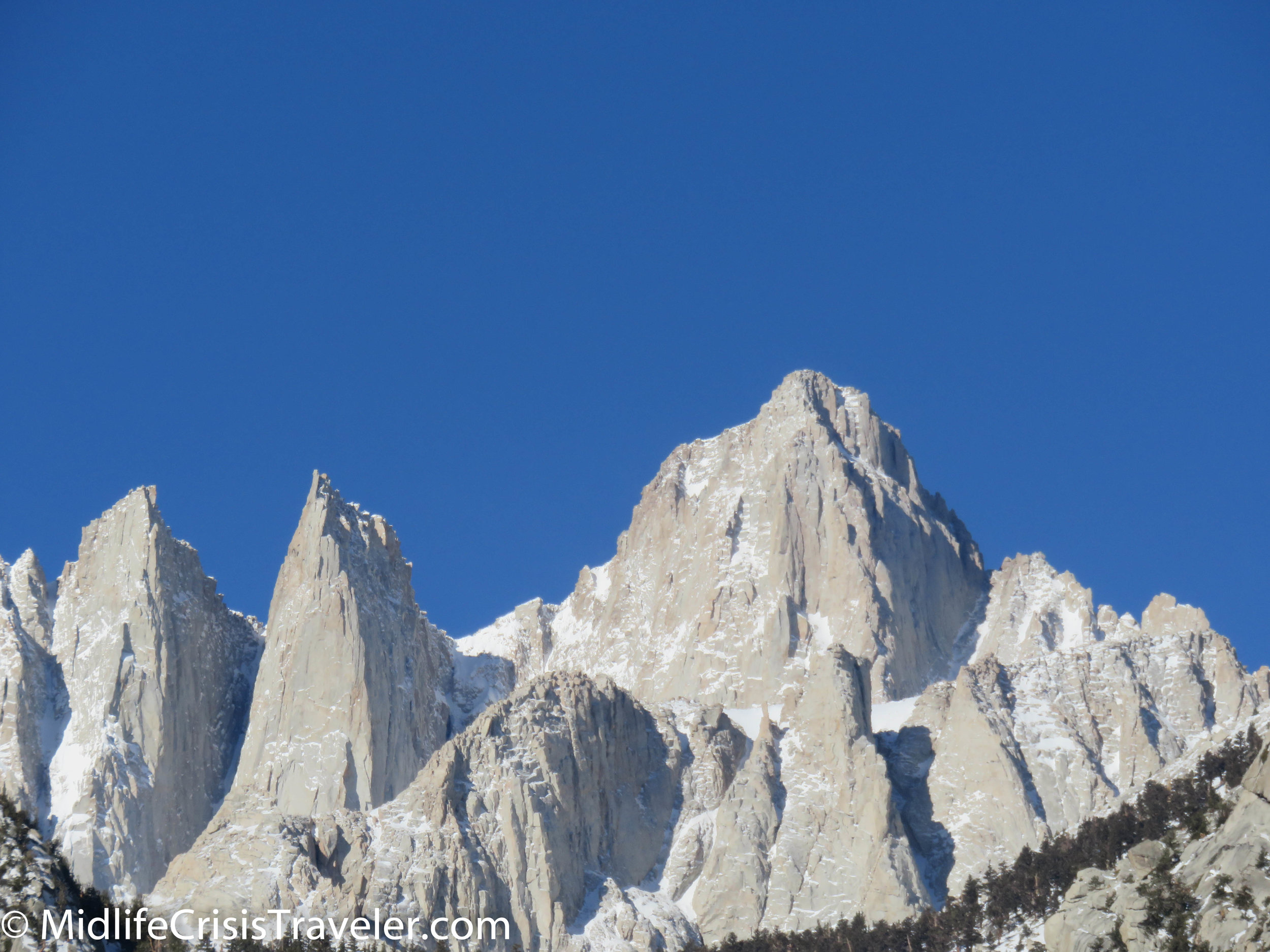
Mt. Whitney is the tallest mountain in the lower 48 states.

Mt. Whitney is the tallest mountain in the lower 48 states.

Lone Pine-20.jpg
Lone Pine-21.jpg
Lone Pine-23.jpg
Lone Pine-24.jpg
Lone Pine-25.jpg
Lone Pine-26.jpg
Lone Pine-27.jpg
Lone Pine-28.jpg
Lone Pine-29.jpg
Lone Pine-30.jpg
Lone Pine-31.jpg

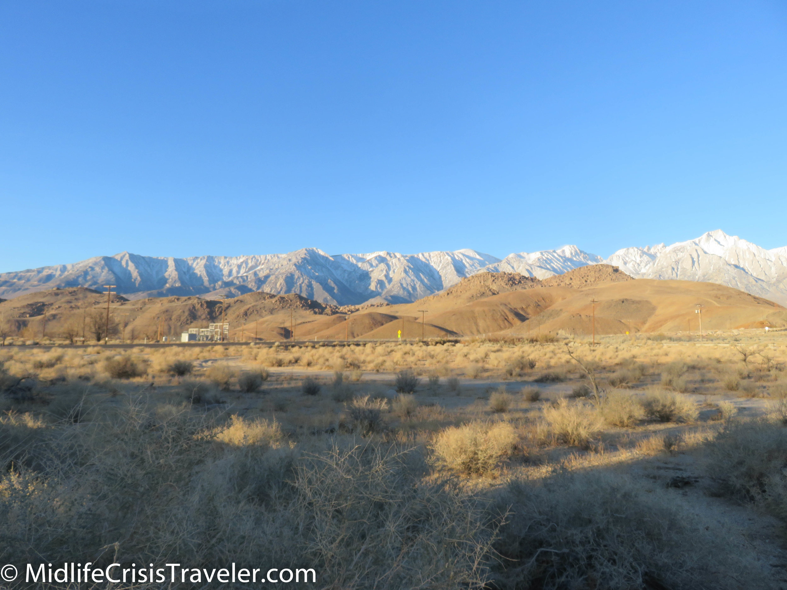
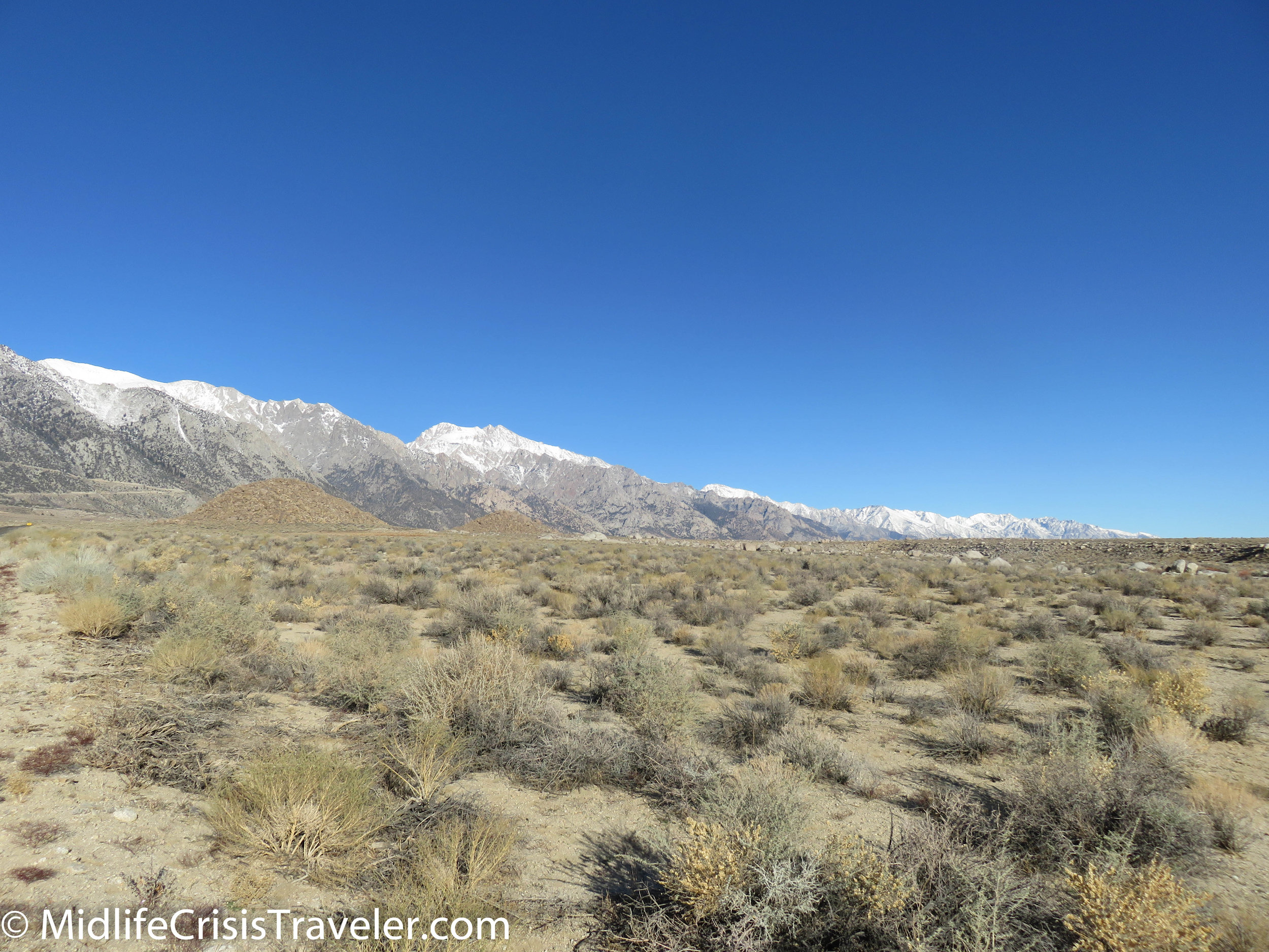
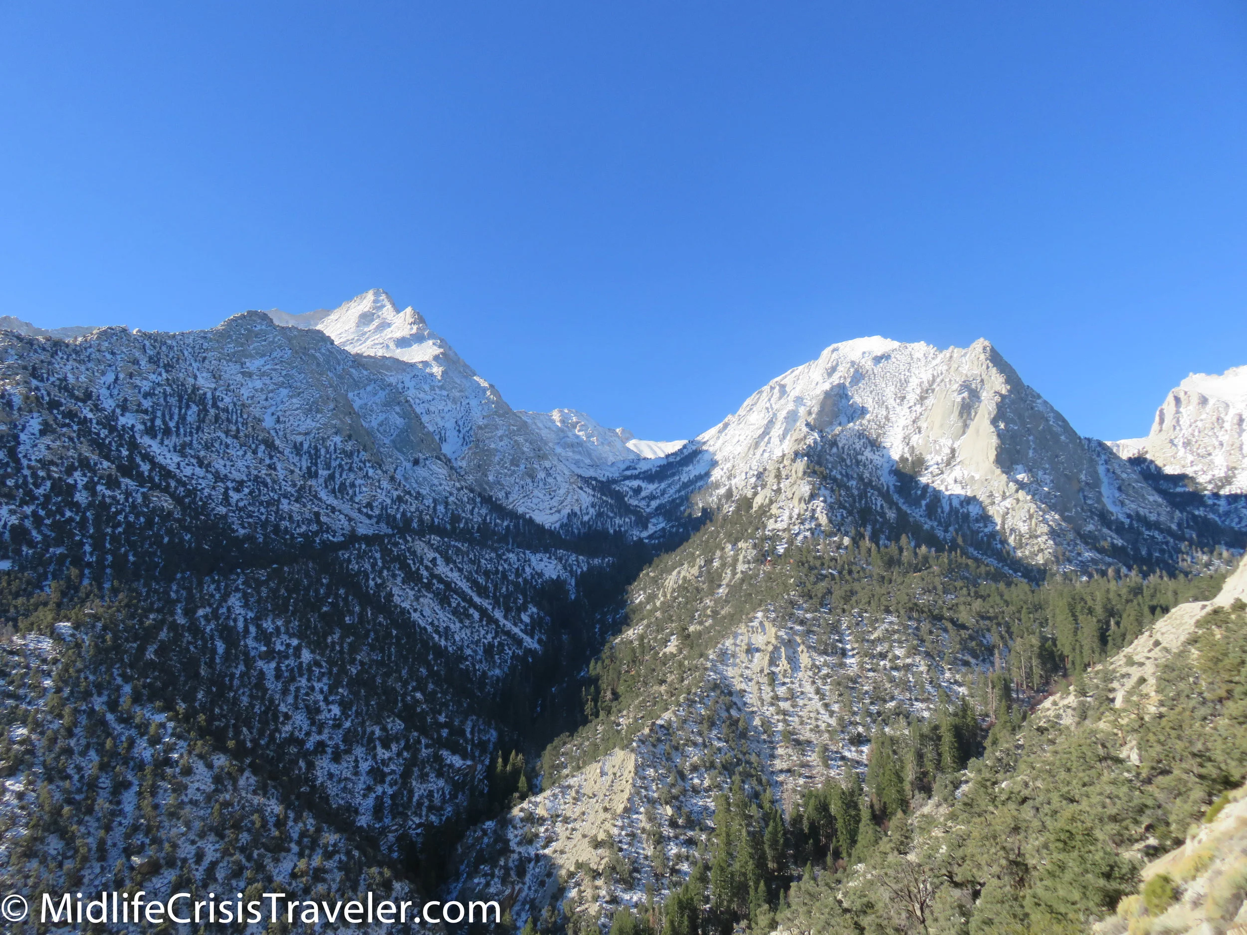
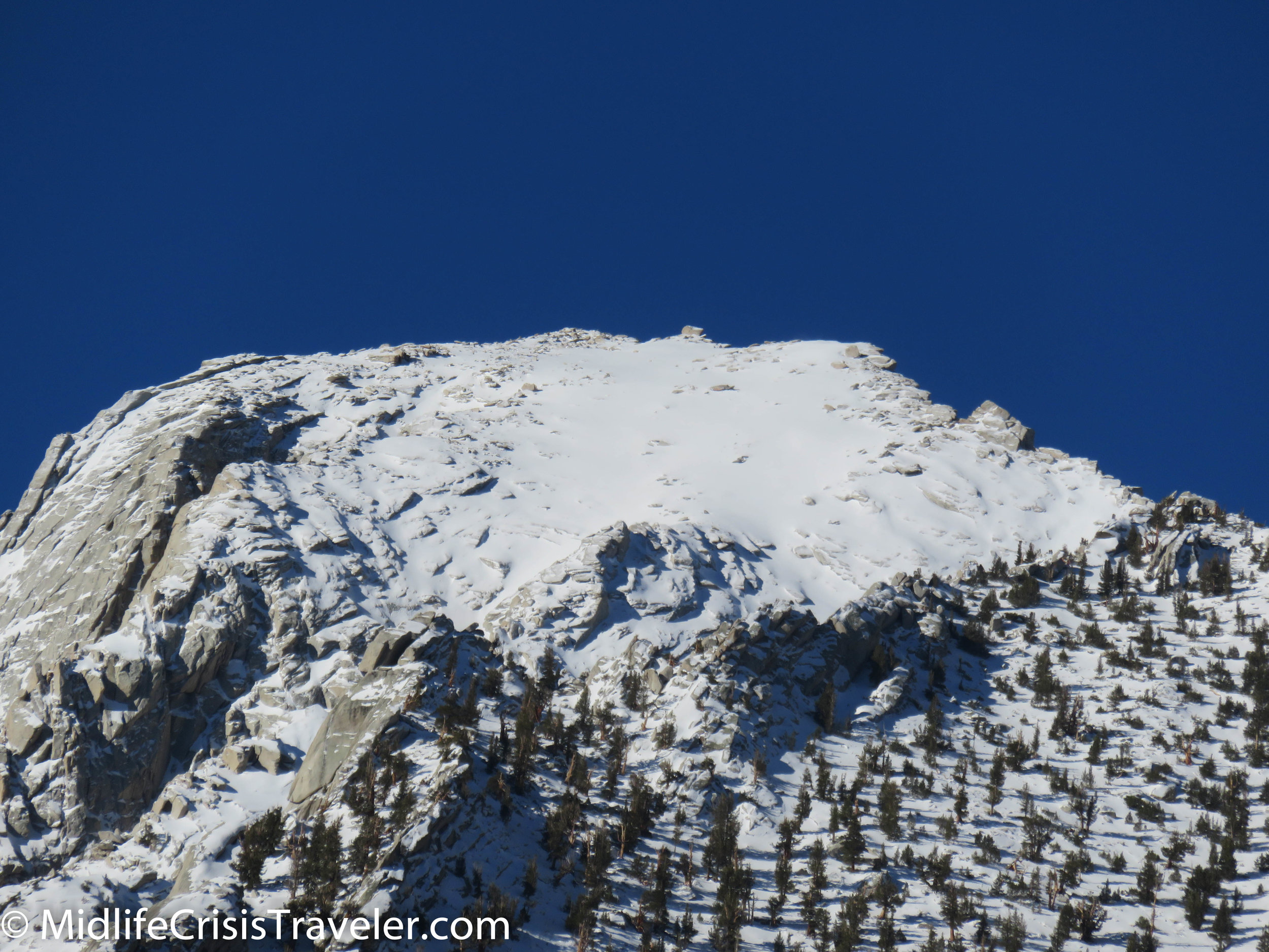
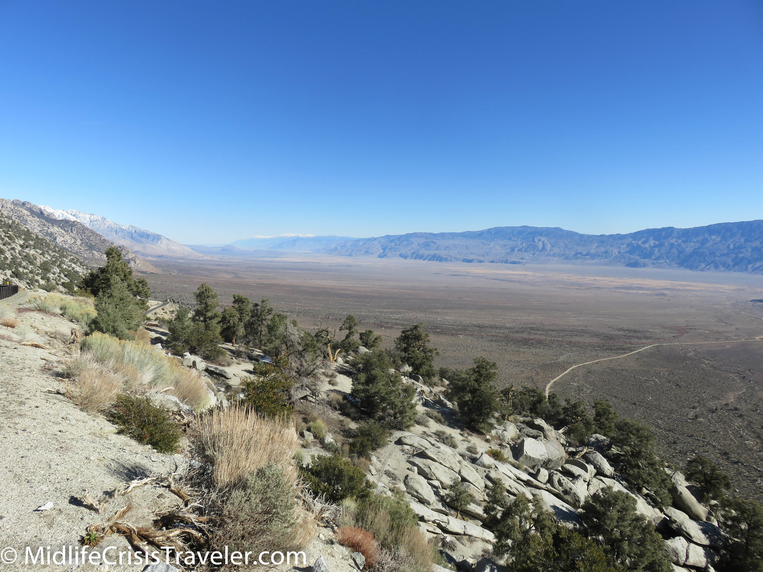
With these two areas containing such marvels, what is left for the Route 395 corridor?  The view.  The view from this valley is better than what you will see if you are in Yosemite and Sequoia NP’s.  The eastern side of the Sierra Nevada mountains is the best view for these scenic wonders.  There is a collection of lakes cradled in the nooks of these majestic mountains.  I’ve driven this road in the summer and winter.  I highly recommend a trip during the winter months through this area.  The snow and ice accentuate the crags in the mountains.  Millions of years of abuse by the wind, rain, snow and ice have left these mountains with scars of beauty.  Roads snake their way through the foothills and make an ascent to the top rather manageable.  Warning: if you want to climb Mount Whitney, which is the highest peak in the lower 48 states, you must get a permit. 

Lone Pine-34.jpg
Lone Pine-35.jpg
Lone Pine-36.jpg
Lone Pine-37.jpg
Lone Pine-38.jpg
Lone Pine-39.jpg
Lone Pine-40.jpg

There are dozens of campgrounds which are either at the base or located partially up the mountainsides.  If travelling during the winter and early spring months, be careful of rock slides and debris on the road.  As the snow and ice start to melt, it dislodges rocks and dirt which create rockslides which can cause damage to people, cars and the roads.  Many of the roads and campgrounds partially up the mountains are closed during the winter but you can still drive a considerable way before a gate will block the road.  Make sure that you don’t go too far off the beaten path.  Some roads might only consist of dirt and gravel.  There are few visitors to some of these areas during the winter so, if you get stuck, you could get yourself in deep trouble.  Always be safe out there. 
Lone Pine-41.jpg
Lone Pine-42.jpg
Lone Pine-43.jpg
Lone Pine-44.jpg
Lone Pine-45.jpg
Lone Pine-47.jpg
Lone Pine-48.jpg
Lone Pine-50.jpg

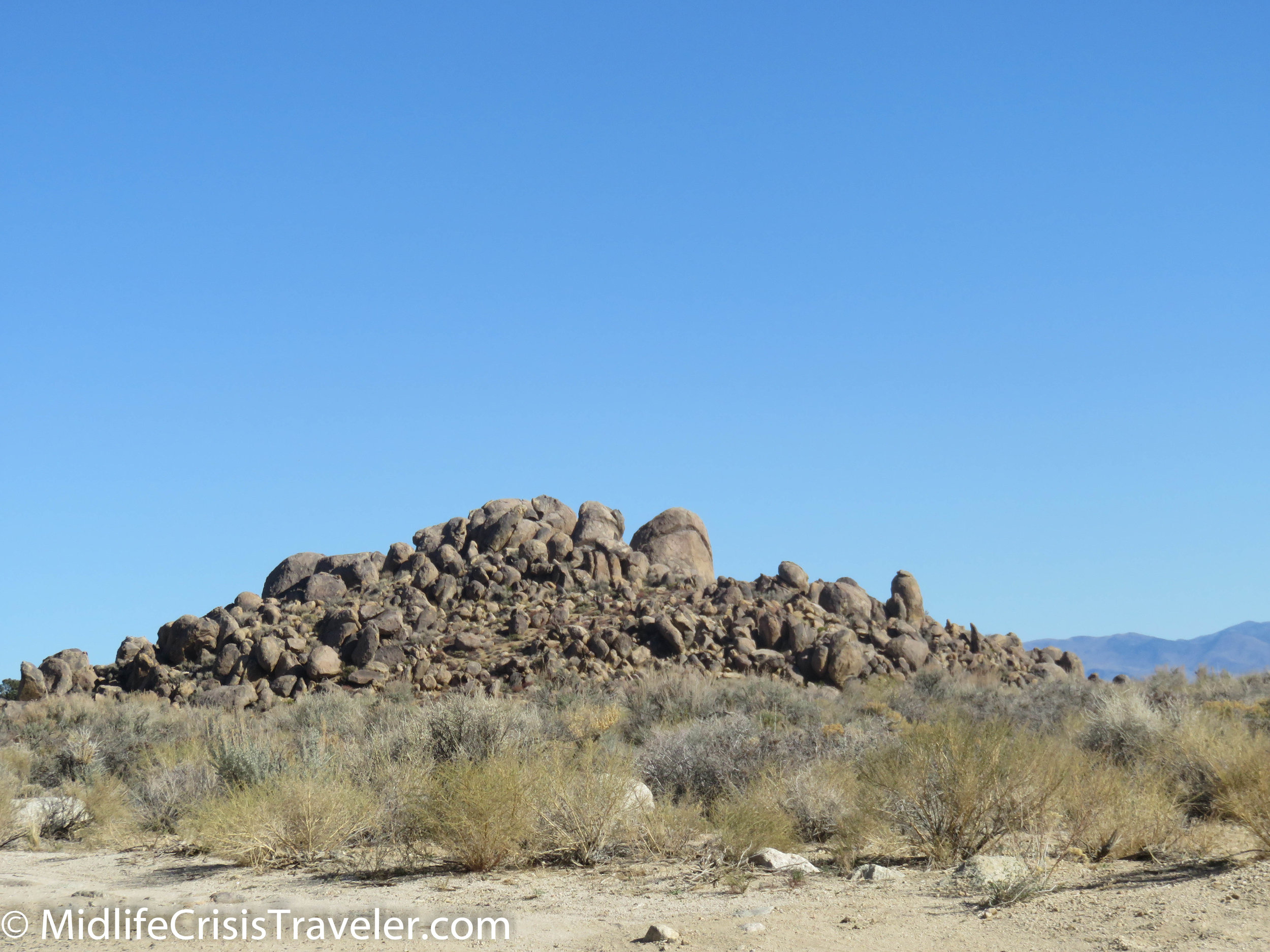
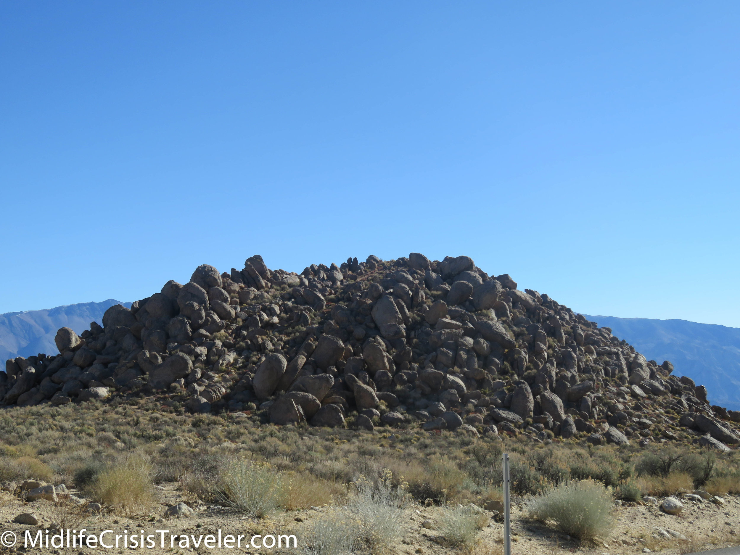
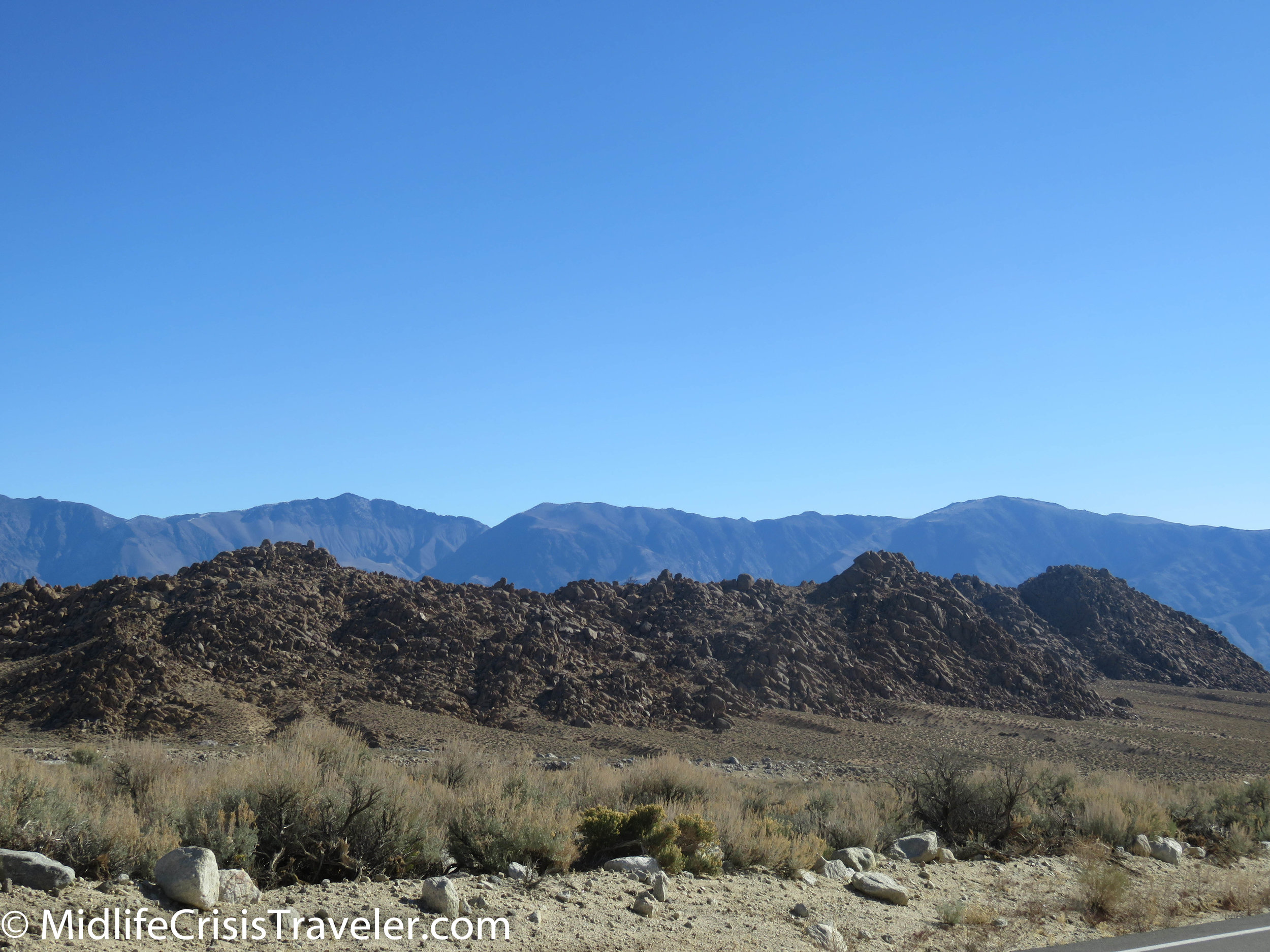
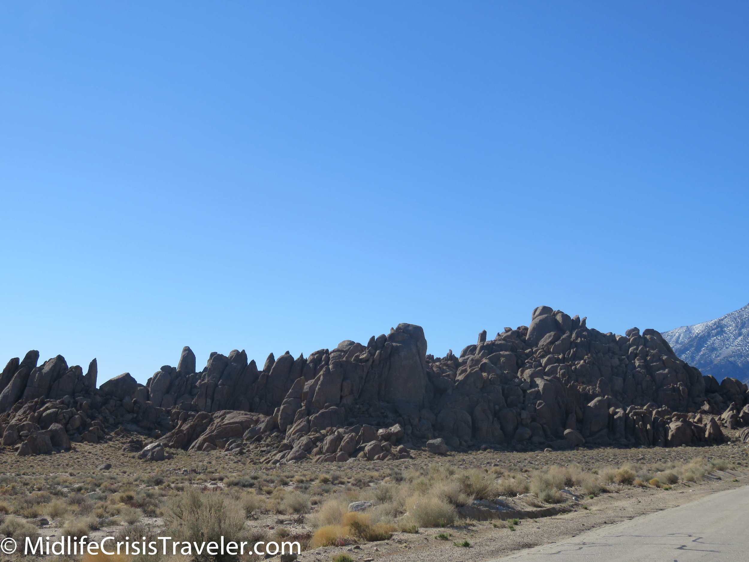
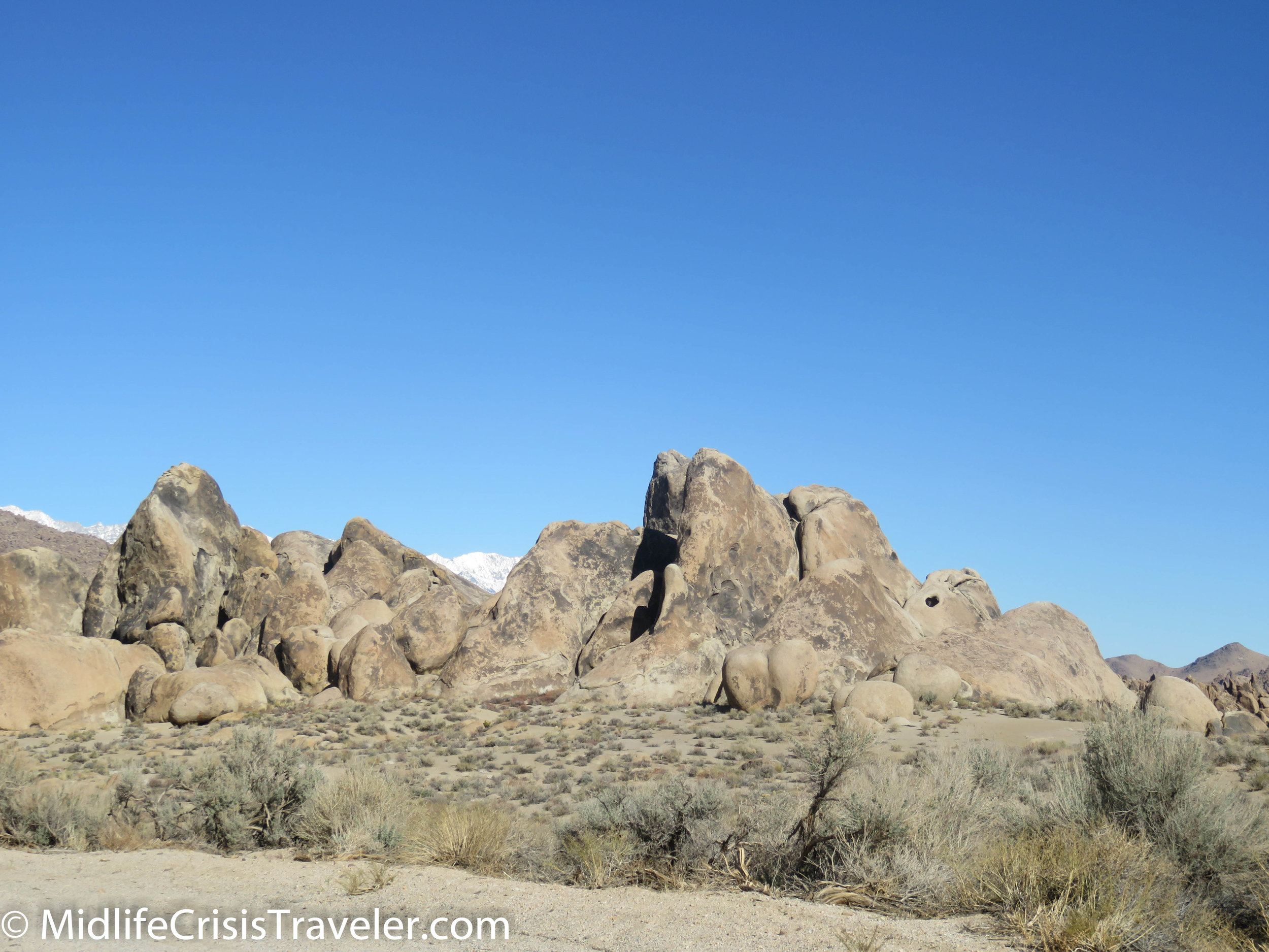
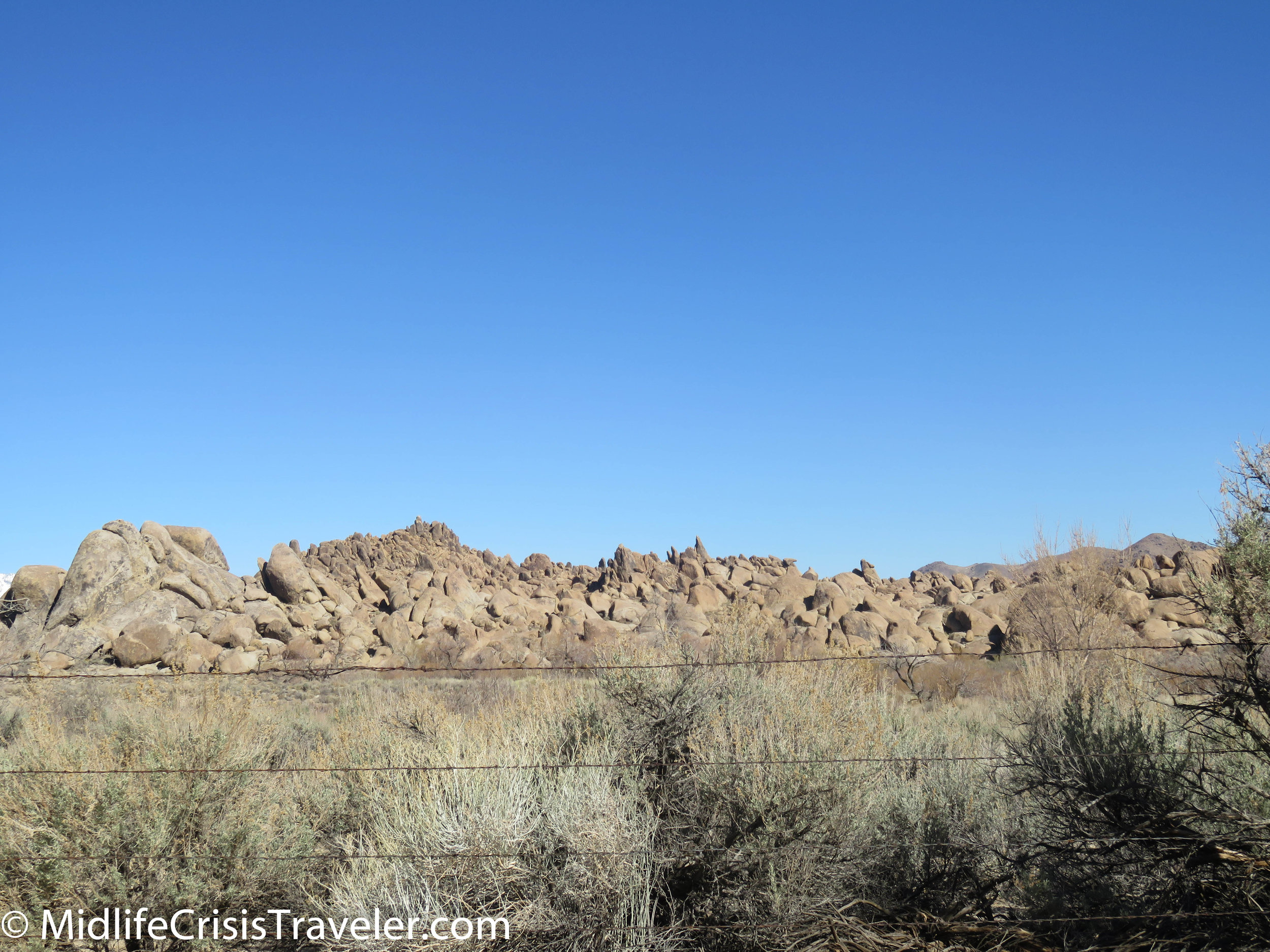
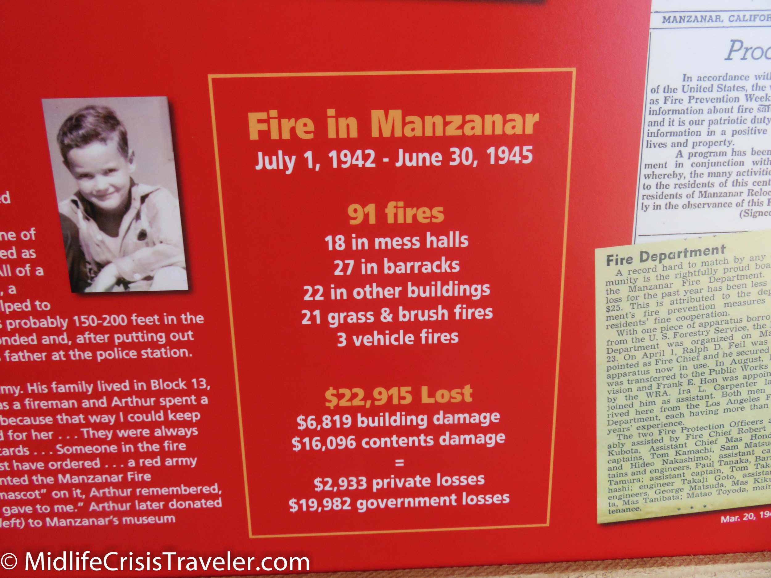
The Alabama Hills are at the foot of the Whitney Portal Road.  Collections of huge rocks have settled here and provide a unique scenery.  There are roads that twist and turn through the rock formations.  Shadows fall between the precarious round curves and sharp edges of the rocks.  They form a fascinating welcome mat to the gorgeous mountains that stare down at them.  I wonder what they say to each other when we are not around?

Lone Pine-49.jpg
Lone Pine-33.jpg
Lone Pine-51.jpg
Lone Pine-52.jpg
Lone Pine-53.jpg
Lone Pine-54.jpg
Lone Pine-55.jpg
Lone Pine-56.jpg
Lone Pine-57.jpg
Lone Pine-58.jpg
Lone Pine-59.jpg
Lone Pine-60.jpg
Lone Pine-61.jpg
Lone Pine-64.jpg
Lone Pine-65.jpg
Lone Pine-66.jpg
Lone Pine-67.jpg
Lone Pine-68.jpg
Lone Pine-69.jpg
Lone Pine-72.jpg
Lone Pine-73.jpg
Lone Pine-75.jpg
Lone Pine-74.jpg
Lone Pine-75.jpg
Lone Pine-76.jpg
Lone Pine-70.jpg
Lone Pine-62.jpg
Lone Pine-71.jpg
Lone Pine-63.jpg
Lone Pine-77.jpg
Lone Pine-78.jpg
Lone Pine-79.jpg
Lone Pine-80.jpg
Lone Pine-81.jpg
Lone Pine-82.jpg
Lone Pine-83.jpg
Lone Pine-84.jpg
Lone Pine-85.jpg
Lone Pine-86.jpg
Lone Pine-87.jpg
Lone Pine-88.jpg
Lone Pine-89.jpg
Lone Pine-90.jpg

Have you visited Mount Whitney?  What was your experience like?  Click the link below for more information about Mount Whitney.

https://www.nps.gov/seki/planyourvisit/whitney.htm