Kings Canyon National Park: The Kings River

Please be patient, it may take a minute for the videos to load.

No:

Swimming

Wading

Boating

Rafting

or Fishing.

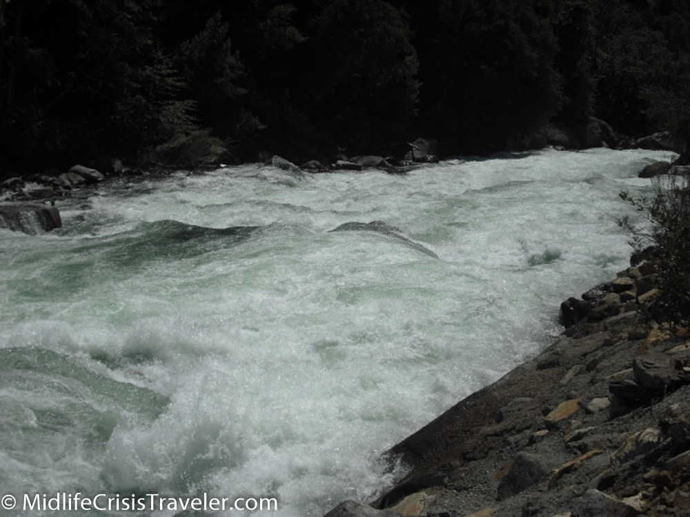
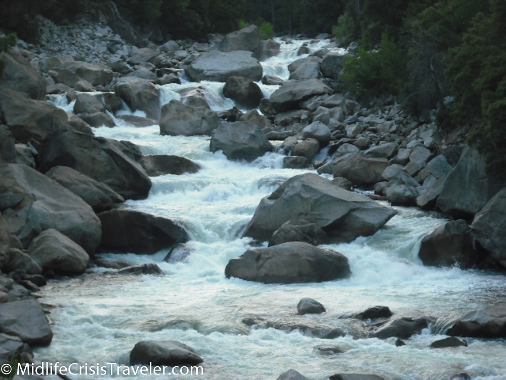
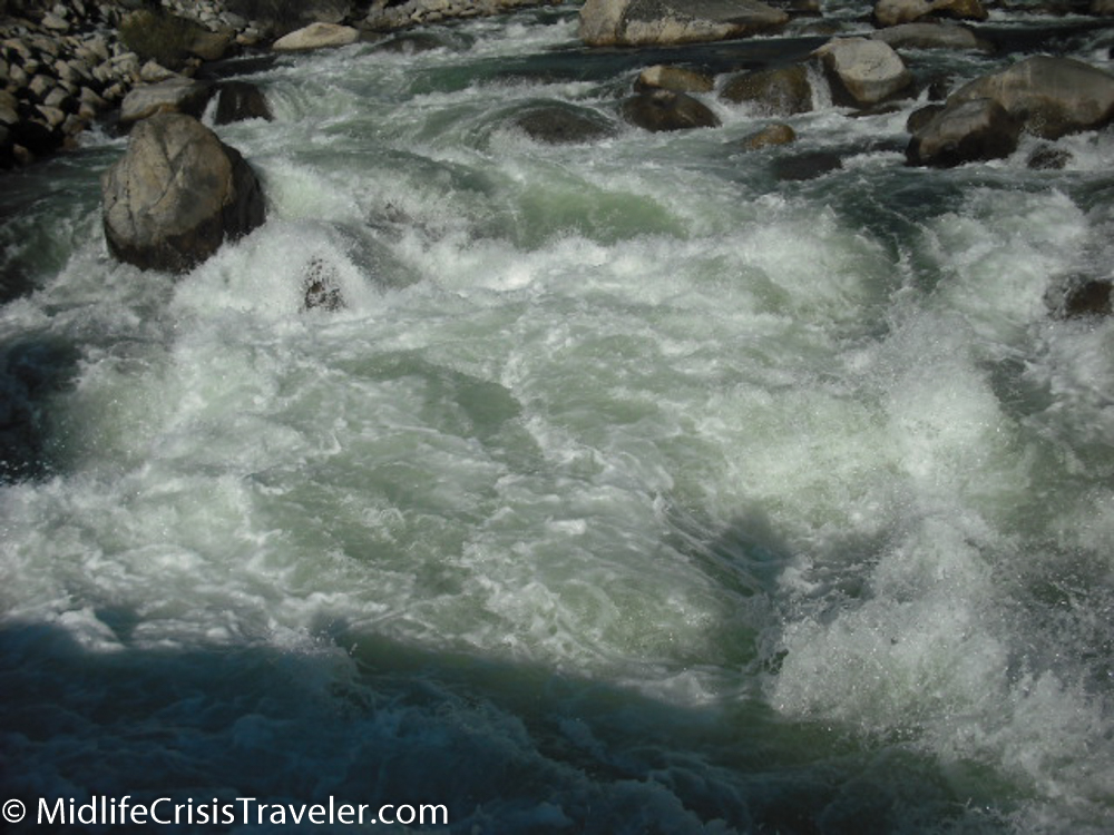
In essence, stay out of the water.  It is too rough.  Too fast.  Too violent.  It’s not this dangerous on the whole river, but in many parts of Kings Canyon National Park, it is.

Kings Canyon-13.jpg
Kings Canyon-17.jpg
Kings Canyon-16.jpg
Kings Canyon-15.jpg

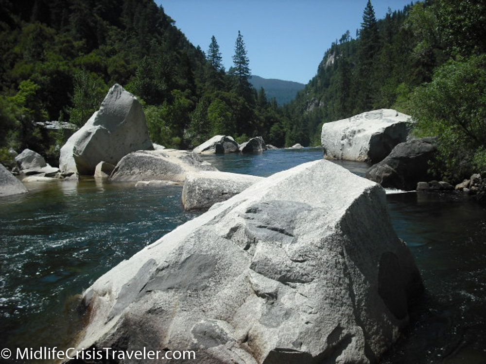
I am convinced that if you fell into the Kings River in most areas of Kings Canyon National Park, you would be dead within minutes.  There are too many boulders that you would strike and the water is too fast that you could never stand up or drag yourself to safety.

Kings Canyon-18.jpg
Kings Canyon-20.jpg
Kings Canyon-41.jpg
Kings Canyon-45.jpg

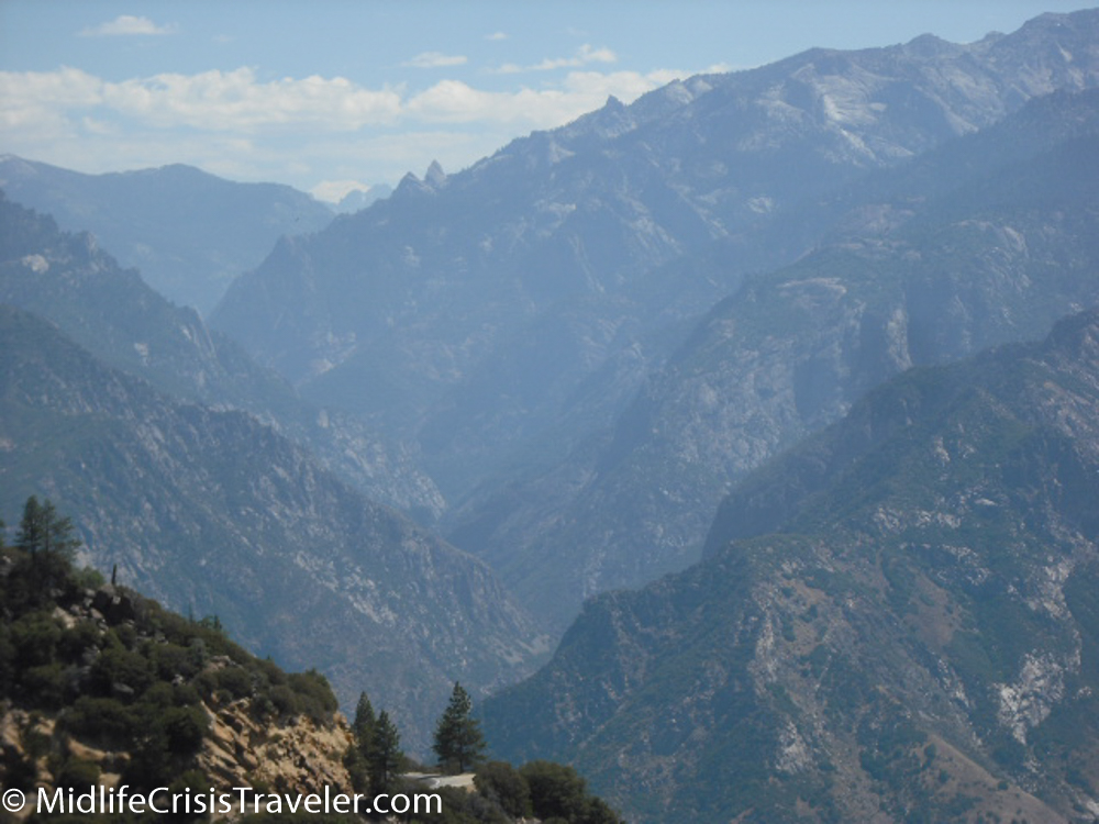
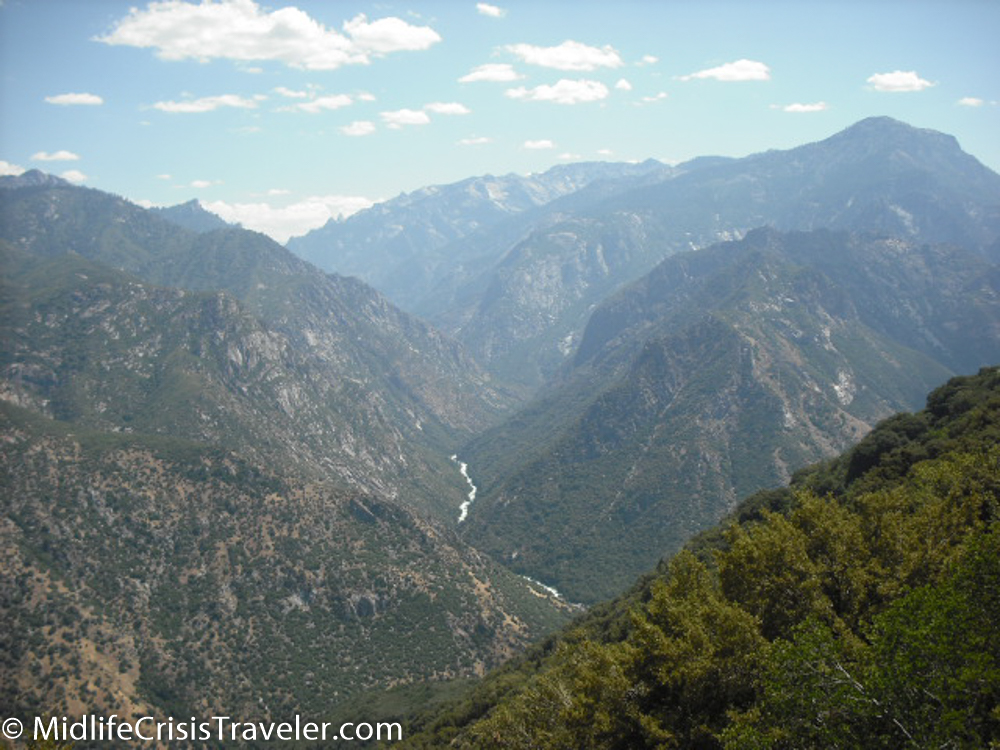
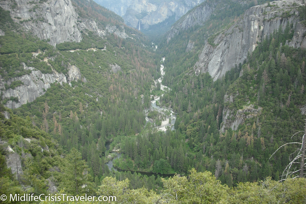
Don’t get me wrong, it is a gorgeous flow of water to see in contrast with the mountains and valleys.  But in this case, Mother Nature is not to be tested.

Kings Canyon-47.jpg
Kings Canyon-49.jpg
Kings Canyon-50.jpg
Kings Canyon-51.jpg
Kings Canyon-66.jpg

The Kings River provides irrigation to over a million acres of farmland in California's central valley.  The river also provides fresh drinking water to central valley residents.  In some areas, white water rafting is permitted.  It is a level 3 river.

Kings Canyon-82.jpg
Kings Canyon-89.jpg

I made acrylic prints of this waterfall.  They are as breathtaking as the waterfall is itself.

Kings Canyon-73.jpg
Kings Canyon-74.jpg
Kings Canyon-76.jpg


Have you seen the Kings River in person?  What were your impressions?

For more information about Kings Canyon National Park, click the link below.

https://www.nps.gov/seki/index.htm


Yosemite National Park: Water

Please be patient, it may take a minute for the videos to load.

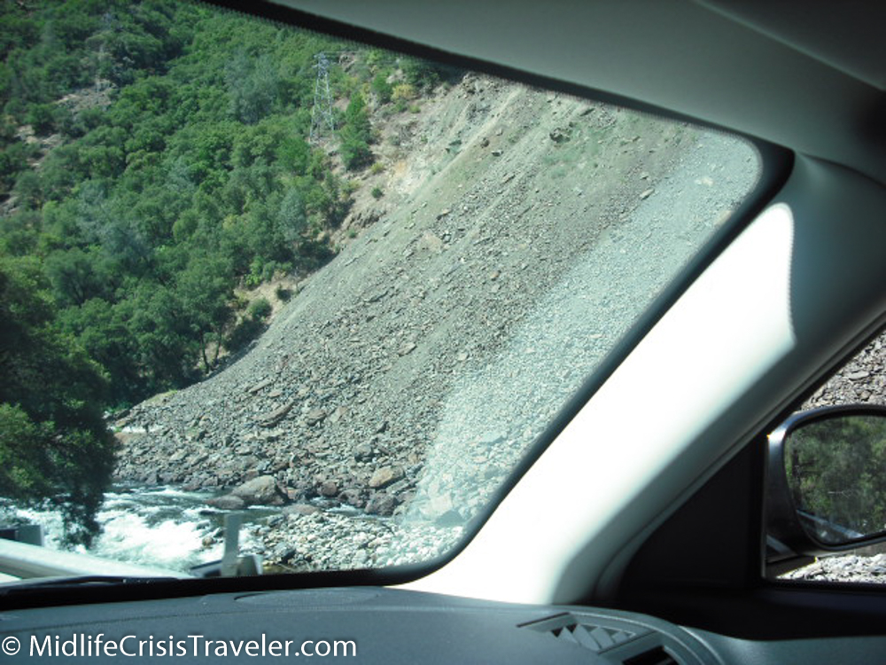
Whenever someone asks me where they should stay when visiting Yosemite National Park, I never hesitate.  There’s a small town down Route 140 about 40 miles from Yosemite Valley called Mariposa.  It has about 2000 residents who make their livelihoods from park visitors with several lodging choices and a couple of taverns.  The drive up Route 140 sets the tone for what you are about to experience in the park.  The road hugs the Merced River and provides a relaxing view of mountains, water and vegetation.  In one section, you must take a one-lane bridge across the river because part of the eastern road was destroyed after a rock slide (see pictures below). 

Yosemite-1.jpg
Yosemite-2.jpg
The rockslide destroyed the road on the right side of the river.

The rockslide destroyed the road on the right side of the river.

As you get closer to the park, the rapids get more treacherous.  In many areas, swimming, boating, wading and fishing are prohibited.  The water is so rough, fast and unforgiving that you would suffer serious injury or death if you fell. 

Yosemite-31.jpg
Yosemite-32.jpg
Yosemite-33.jpg
Yosemite-35.jpg
Yosemite-36.jpg
Yosemite-37.jpg
Yosemite-38.jpg
Yosemite-39.jpg
Yosemite-41.jpg
Yosemite-43.jpg

The upper Merced River in many parts of Yosemite National Park is much calmer and slow moving.  The water is so clean and clear from the snow melt that you can see the color of the stones at the bottom. 

Yosemite-44.jpg
Yosemite-45.jpg
Yosemite-46.jpg

The first major waterfall you encounter when entering the park is Bridalveil Falls.  It is on your right as you drive into Yosemite Valley and is a short walk from the parking area.  You can walk right up to the falls and be sprayed with its mist which can be refreshing on a hot summer day. 

Yosemite-125.jpg
Yosemite-124.jpg
Yosemite-121.jpg

Tenaya Lake is a very popular locale to rest and relax.  The surrounding mountains feed the lake and provide a peaceful space for humans and wildlife. 

Yosemite-47.jpg
Yosemite-49.jpg
Yosemite-50.jpg
Yosemite-52.jpg
Yosemite-54.jpg

Yosemite Falls is the crown jewel of waterfalls in the park.  At 2,425 feet, it drops in three sections, the bottom of which can be accessed by foot.  The roar of the falls can be heard in the surrounding meadows when the flow is strong.  The flow can dwindle in the late summer and into the fall season. 

Yosemite-140.jpg
Yosemite-141.jpg

Water can appear out of anywhere in the park, especially in the later spring and early summer.  As the snow rapidly melts, waterfalls form and may run for months before drying up just before winter visits again.  Such is the case with Ribbon Falls, which is a couple of miles down the road from Yosemite Falls.  It is longer than the upper Yosemite Falls drop but has a much narrower flow of water. 

Yosemite-98.jpg

The beauty of the larger waterfalls cannot be matched but the simplicity of some of the smaller roadside waterfalls and lake tributaries beautify all areas of the park.  Keeping your eyes peeled is a necessity to capture the full scope of how water cleanses and breathes life into Yosemite National Park. 

Do you have a favorite waterfall, lake, body of water?  Where is it located?  Why is it your favorite?

For more information about Yosemite National Park, click on the link below.

https://www.nps.gov/yose/index.htm

Yosemite National Park: Boulders, Olmsted Point, Snow, Safety and Camping

This is a broad-based article.  I wanted to point out some interesting topics that didn’t have enough content for a blog article on their own. 

Yosemite-7.jpg
Yosemite-8.jpg

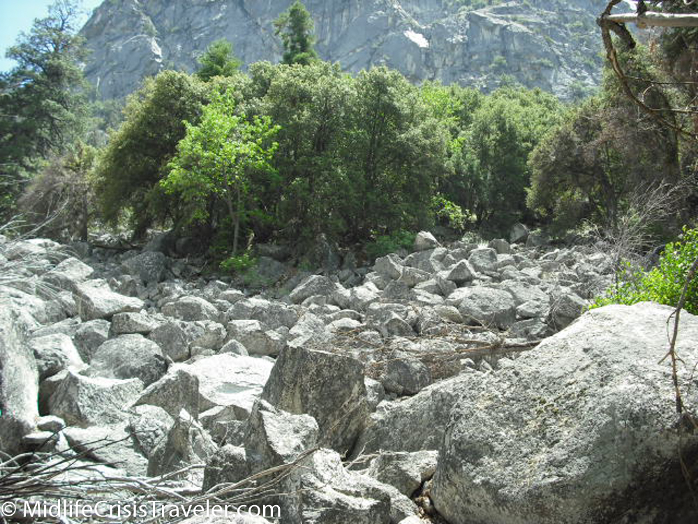
Boulders can be found all over Yosemite: in river beds; at the side of a road; next to a campground; or at the base of a mountain.  Whether exposed by erosion, drawn to another area due to a receding glacier or is a protrusion of granite emerging from below the earth’s surface, boulders are a prominent feature in the park.  Some are bigger than your house or car.  Others can be bigger than an apartment building.  I always wonder if a boulder fell from a mountain, the incredible sound it must have made when it came crashing down (no comments about whether someone was there to hear it fall). 

Yosemite-4.jpg
Yosemite-5.jpg
Yosemite-10.jpg
Yosemite-14.jpg

Olmsted Point is a scenic overlook on the Tioga Road.  FYI, Tioga Road is only open during the summer and I recommend that you drive it when given the opportunity.  Frederick Law Olmsted was an architect and conservationist who designed several municipal parks around the country including Central Park and Prospect Park in New York City.  He was instrumental in preserving land for our national parks.  This location was dedicated in his honor. 

Yosemite-41.jpg
Yosemite-42.jpg
Yosemite-45.jpg
Yosemite-46.jpg

Snow can be found almost year-round in the park.  I have been to Yosemite in July and seen snow even at low elevations, especially in shady areas.  In years where there has been significant snowfall, the waterfalls will have a strong flow of water from May through mid-July as the snow melts.  During the years of the California drought, even large waterfalls like Yosemite Falls would run dry in the late summer.

Yosemite-200.jpg
Yosemite-240.jpg
Yosemite-276.jpg
Yosemite-290.jpg
Yosemite-321.jpg

Safety is of immense importance when spending time in our national parks.  Keeping a safe distance from wild animals, making sure you have enough food and water while camping and hiking and keeping your eyes on the road while driving is extremely important.  For example, the picture below shows a road where there is no guardrail and a drop of several hundred feet.  Distracted driving could lead you over the edge and once you’re falling there is nothing but the bottom to stop you.

Yosemite-977.jpg

Camping is a very popular activity in the parks.  Campers come with all different strategies to try to conquer the wilderness.  Some will “camp” at one of the lodges/hotels, others will drive their big RV’s, some will tow popup campers and the true modern pioneers will pitch a tent and rough it.  The tents in the picture can be rented and include a stove. 

Yosemite-621.jpg

Have you camped in the parks?  Have you been to Olmsted Point or taken a picture next to a massive boulder?  Tell us about your experiences in the park.

For more information about Yosemite National Park, click on the link below.

https://www.nps.gov/yose/index.htm

Yosemite National Park: Sentinel Dome, Taft Point and Glacier Point

When I was a kid, the ABC Wide World of Sports TV show profiled several professional mountain climbers.  They would detail the hundreds of hours of preparation the climbers took planning the route, purchasing their supplies, consulting with their guides and getting into tip top shape.  While watching the show, I thought it would be cool to wear the boots with spikes on them and have an ice axe in hand.  But then I thought, who would want to go through that much pain in icy conditions and bone-chilling temperatures for days just to stand on top of a rock for a few minutes then climb back down? I never truly understood the feeling that the climbers felt from scaling thousands of feet to stand on top of the world…..until I went to Sentinel Dome. 

Yosemite-1.jpg
Yosemite-2.jpg
Views of Sentinel Dome from the trail.

Views of Sentinel Dome from the trail.

Yosemite-4.jpg
Yosemite-5.jpg
Yosemite-122.jpg
Yosemite-105.jpg
Yosemite-6.jpg
Yosemite-118.jpg
Yosemite-7.jpg
Yosemite-8.jpg
Yosemite-10.jpg
Yosemite-108.jpg
Yosemite-112.jpg
Yosemite-11.jpg


Now I am fully disclosing that I did not need spiked boots or an ice axe to climb Sentinel Dome and it was a warm 80 degrees in July when I made the 1.2 mile hike.  Despite my lack of pain and struggle to reach the summit (I did experience a shortness of breath due to the elevation), I fully understood why climbers get that euphoric feeling rushing through their veins when they are standing on top of the world.  Sentinel Dome gives you a spectacular 360 degree view of Yosemite and a unique vantage point to take in Yosemite Valley.  For those who do not wish to hike for miles and miles, this is the best view with minimal effort.  The hike is not without some challenge as the footing can get precarious on the trail so make sure you are wearing quality footwear.  Everyone who I’ve encountered who has made the trek to Sentinel Dome agrees that it is their favorite spot in the park. 

Yosemite-13.jpg
Yosemite-14.jpg
Yosemite-106.jpg
Yosemite-143.jpg
Some squirrels love living on top of the world.

Some squirrels love living on top of the world.

Sentinel Dome and Taft Point are located just off the Glacier Point Road with a small parking lot (about a mile from Glacier Point) on the west side of the road.  If you walk left from the parking lot you will end up at Taft Point while walking to your right takes you to the path for Sentinel Dome.  Both hikes are just over 2 miles (roundtrip) in length. 

Taft Point promises views that are hard to come by anywhere else in the world.  You can walk to the edge of a cliff and look straight down 3000 feet.  To give you some perspective, the Empire State Building is 1454 feet tall so the Taft Point view is like stacking one ESB on top of a second ESB.  I willingly admit that I have a fear of heights to I’m not one of those folks who will sit on the edge of the cliff with their legs dangling over the edge. 

Yosemite-156.jpg
Yosemite-157.jpg
Yosemite-161.jpg
Yosemite-169.jpg


The sunsets are pretty nice too.

Yosemite-178.jpg
Yosemite-179.jpg
Yosemite-180.jpg

Finally, Glacier Point is one of the most popular sites in Yosemite and is located at the end of Glacier Point Road.  This location sports similar views as Taft Point except it’s not a straight down/over the edge/heart stopping view.  There is ample parking and almost always dozens or hundreds of tourists admiring the view. 

Yosemite-191.jpg
Yosemite-192.jpg
Yosemite-262.jpg
Yosemite-263.jpg
Yosemite-264.jpg
Yosemite-265.jpg

All three of these locations are within a couple of miles of each other and provide amazing perspectives on the park and the world.  My favorite is Sentinel Dome.  If you’ve been to all three, which is your favorite and why?

For more information about Yosemite National Park, click on the link below.

https://www.nps.gov/yose/index.htm

Yosemite National Park: The Valley

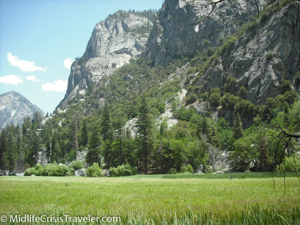
As you enter the park, you navigate under a massive rock formation precariously perched above the road.  A leisurely drive through the forest tries to calm you but the anticipation keeps you on the edge of your seat.  Sunlight finds its way through the limbs of the backwoods to taste the moisture of the soil. 

Yosemite-1.jpg
Yosemite-2.jpg


It sneaks up on you, hidden within the forest until it is right on top of you.  You never see it coming.  It’s like someone jumping out of the birthday cake to surprise you.  The first thing people usually say is, “Wow!!!” 

Yosemite-3.jpg
Yosemite-4.jpg


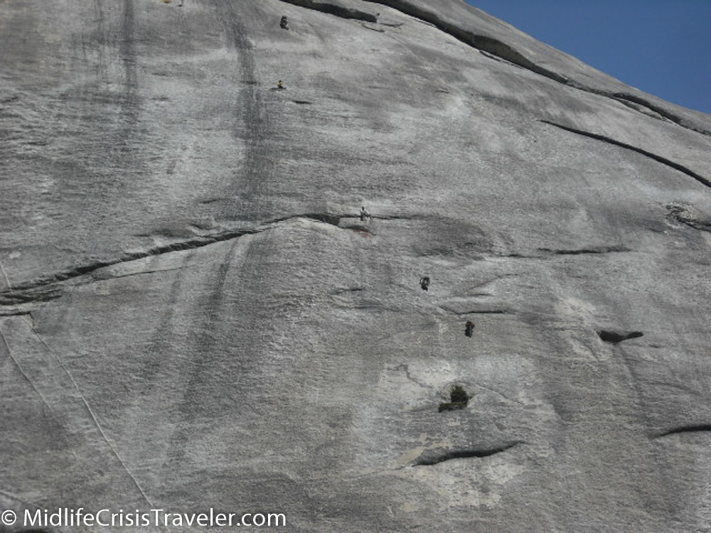
El Capitan confronts you as you slowly bear left.  There it is in all its glory, 3000 feet of granite.  The face is nearly vertical and a major challenge for even the most experienced climbers. 

Yosemite-5.jpg
Yosemite-6.jpg
Yosemite-91.jpg


As you continue through Yosemite Valley, protrusions of rock jut into the sky, one stretching higher than the next.  Tunnel View is one of the most famous and photographed areas of any national park.  Busloads of tourists and school children unload their vehicles and load their cameras with memories of a grand scene.

Yosemite-18.jpg
Yosemite-135.jpg
Yosemite-176.jpg
Yosemite-137.jpg


Although not tame, animals are so accustomed to visitors that they might walk right up to you while you visit.  It is important to never feed the animals as they could become sick from the food or become reliant on tourists for their nourishment. 

Yosemite-149.jpg
Yosemite-175.jpg


Bridal Veil Falls is the friendliest of the waterfalls.  It is a short hike of less than 100 yards to its base from the parking lot.  The falls run your round and are flush with flow. 

Yosemite-231.jpg
Snow rolls into Yosemite Valley in April 2013

Snow rolls into Yosemite Valley in April 2013


Last but not least is Half Dome.  It is the sitting king of the valley.  Campers rest in its shadow and it is a favorite of climbers.  You must register in advance to climb the side of the granite monarch via a system of cables.  Climbing the vertical face should be left to the professionals. 

Yosemite-150.jpg
Yosemite-139.jpg


Yosemite Valley is nature’s amusement park for us nature nerds ensuring that everyone has a jaw-dropping experience there. 

Have you been to Yosemite Valley?  What is your favorite part of the valley and why?

For more information about Yosemite National Park, click the link below.

https://www.nps.gov/yose/index.htm

Joshua Tree National Park: Converging Environments

“Be very careful if you are hiking.  Take plenty of water with you because you can become dehydrated quickly.”--Park Ranger

June in Joshua Tree National Park will not be confused with February in Buffalo.  It’s hot and dry and the sun is extremely strong.  You might not notice it if you are driving in an air-conditioned car or just spend a few minutes standing in the heat.  Walking a trail in this environment can be fatal if not taking the proper precautions. 

Joshua Tree 2016-1.jpg

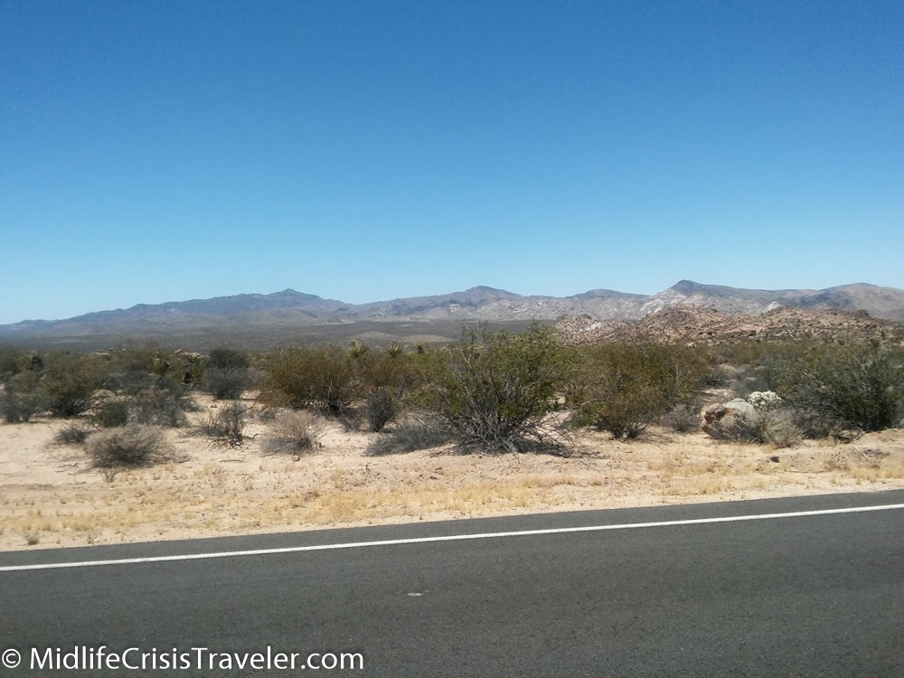
Keys View offers an incredible view of the Coachella Valley.  The peaks of the mountains on the opposite side of the valley are the tallest peaks in southern California. 

Joshua Tree 2016-9.jpg

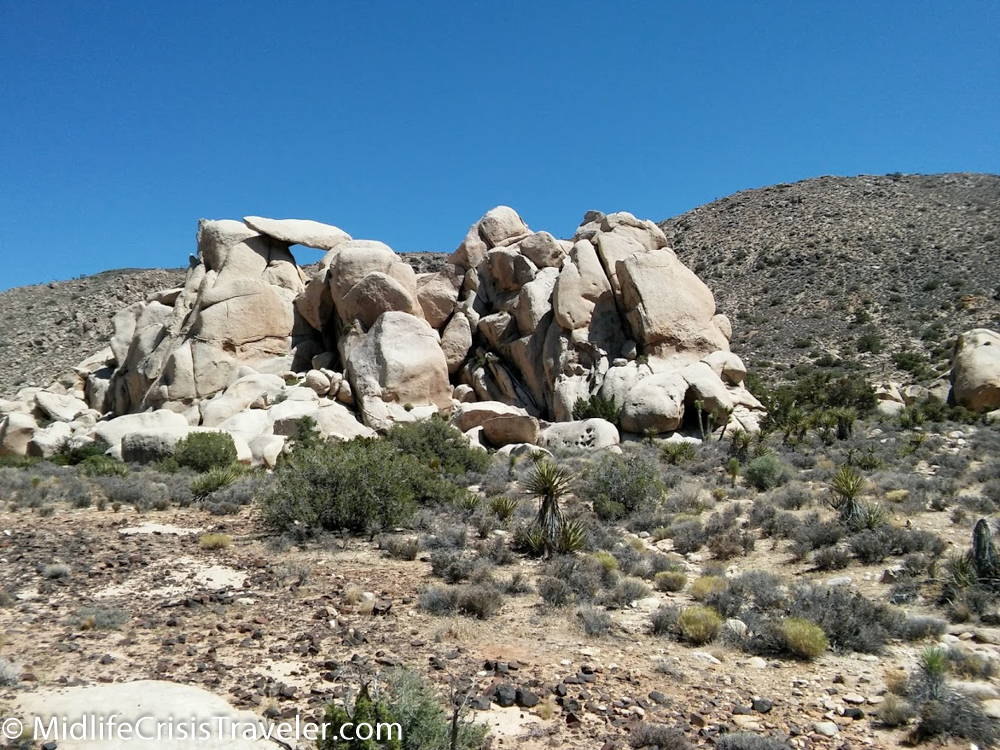
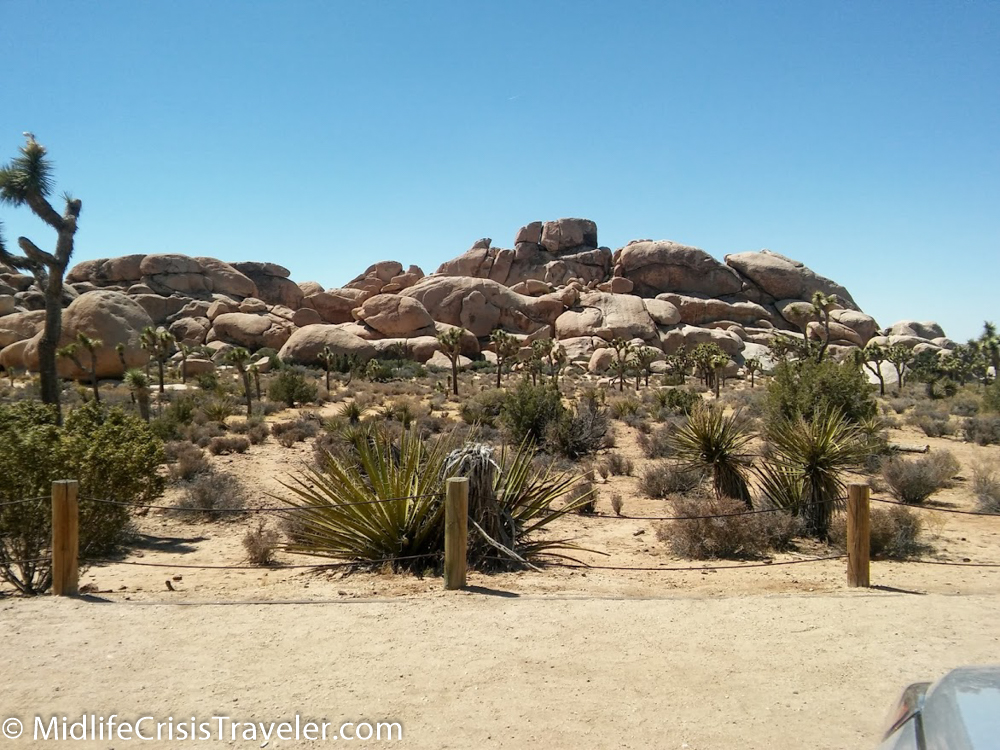
Joshua Tree is a unique place.  Some of the rocks have been dated to 1.7 billion years old.  These precarious rock formations owe their architecture to erosion. 

Joshua Tree 2016-2.jpg
Joshua Tree 2016-3.jpg
Check out the rock balancing on the top left portion of the pile.

Check out the rock balancing on the top left portion of the pile.

Joshua Tree 2016-5.jpg
Joshua Tree 2016-6.jpg
Joshua Tree 2016-8.jpg
This rock was teetering on edge. It was also in the shape of a pork chop--it's always about food

This rock was teetering on edge. It was also in the shape of a pork chop--it's always about food

From the National Park Service Joshua Tree Website:

Joshua Tree’s nearly 800,000 acres were set aside to protect the unique assembly of natural resources brought together by the junction of three of California’s ecosystems:

•The Colorado Desert, a western extension of the vast Sonoran Desert, occupies the southern and eastern parts of the park. It is characterized by stands of spike-like ocotillo plants and “jumping” cholla cactus.

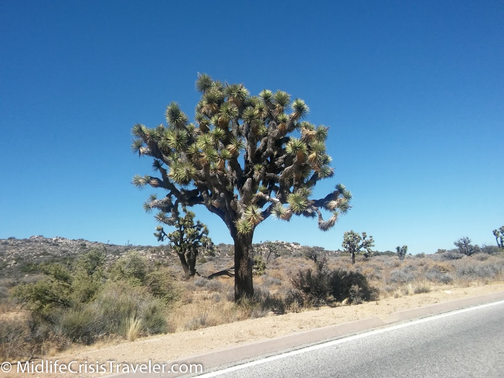
•The southern boundary of the Mojave Desert reaches across the northern part of the park. It is the habitat of the park’s namesake: the Joshua tree. Extensive stands of this peculiar looking plant are found in the western half of the park.

•Joshua Tree’s third ecosystem is located in the westernmost part of the park above 4,000 feet (1,219 m). The Little San Bernardino Mountains provide habitat for a community of California juniper and pinyon pine.

Joshua Tree 2016-10.jpg
Joshua Tree 2016-7.jpg

Have you been to Joshua Tree National Park?  What is your favorite part of the park and why?

For more information about Joshua Tree National Park, click the link below.

https://www.nps.gov/jotr/index.htm

Death Valley National Park: Minimalist Beauty

The further south you drive the less vegetation, animal life and human life you see.  It’s certainly not a moonscape but a certain "Wild West" feeling emerges as you descend into the valley.  I sped faster to arrive just short of sundown.  The sun was running to the west side of the Sierra Nevada mountains and I was still dozens of miles from Panamint.

Death Valley 2016-4.jpg
Death Valley 2016-6.jpg
Death Valley 2016-5.jpg

Rather than check in to the “resort”, I kept driving to reach the center of the first valley you reach when driving in from the north.  It was mere minutes before the sun would escape till tomorrow so I stopped to preserve it with my camera.  As I opened the car door, a young coyote approached as if he had waited all day for me to play with him.  I attempted to shoo him away but, looking forlorn, he circled the car and stared at me again.  I chose to drive down the road another fifty yards to take my pictures.  It was obvious to me that past visitors had fed him which now made him oblivious to the dangers of humans.  This is a huge no no for park visitors.  Never feed the animals because they become dependent on food from humans.  Also, you could feed them something that is harmful to them.

Death Valley 2016-7.jpg
Death Valley 2016-17.jpg
Death Valley 2016-18.jpg

As I exited the car, the sun’s orange blaze shined bright above the mountains as thunder rumbled in the distance.  Although Death Valley only receives 2-3 inches of rain per year, rain was a factor in my visit.  Rain did not materialize that evening but I was unable to reach certain areas of the park which were damaged by heavy floods just seven months earlier.

Death Valley 2016-8.jpg
Death Valley 2016-9.jpg
Death Valley 2016-10.jpg
Death Valley 2016-11.jpg

The sand dunes of Mesquite Flats kick up tons of dust on a windy day.  Sand dances across the roads just like snow on a winter’s day. The picture above was taken near Badwater Basin which is North America’s lowest point at 282 feet below sea level.  Death Valley is a desolate place yet still holds its beauty.  A land of high highs and low lows. In a matter of minutes you can descend from 5000 feet in the mountains to below sea level.  Simply unlike anywhere else in North America. 

Death Valley 2016-1.jpg
Death Valley 2016-2.jpg
Death Valley 2016-3.jpg
Death Valley 2016-12.jpg
Death Valley 2016-13.jpg
Death Valley 2016-14.jpg
Death Valley 2016-15.jpg
Death Valley 2016-16.jpg

Have you been to death Valley National Park?  What was your experience like?  What is your favorite part of the park and why?

For more information about Death Valley National Park, click the link below.

https://www.nps.gov/deva/index.htm

Grand Canyon National Park: The Grandest of Them All

January 1996

"You might want to take a sweatshirt or some long pants.  It will be cooler out there."  

"No, I will be fine."  

We waited about 30 minutes while the pilot of our small plane completed his pre-flight checklist.  It was late January in Vegas and overcast.  The temperature was a very comfortable 70 degrees whereas at my apartment in the suburbs of Philadelphia it was around freezing.  Little did these people know that I was born and raised in the frozen tundra of Bradford, PA.  70 degrees was a nice summer day and 53 degrees, as it was on the rim of the canyon that day, was shorts and t-shirt weather.  

GC 1996-1.jpg

Although relatively fit at 210lbs, the pilot took one look at me, then at the other passengers and said, "You're going to have to sit next to me in the front or we aren't getting off the ground."  I had only flown a couple of times in my life up to that point and I had a significant fear of heights (still do).  Being in a small plane at 5000 or so feet was going to challenge my fear and force me to confront it.  The pilot, although only in his mid-twenties like myself, executed the flight plan perfectly and my fears were minimized.  We landed next to the rim of the canyon unscathed and proceeded to a school bus that took us on a two mile tour.  Native Americans explained to us the history and lore of this magnificent site.  

GC 1996-6.jpg
GC 1996-7.jpg

"Be careful standing at the edge and looking down.  I haven't lost anyone yet."  Yes, you could stand at the edge and look down over 1000 feet to the jagged rocks below.  You just can't fathom how powerful the water must have been to carve such a deep crater into these rocks.

GC 1996-18.jpg
GC 1996-17.jpg

This contraption was erected in the 1800's.  It was a cable system designed to extract bat droppings from caves across the gorge.  Workmen would travel along the cables (like an old style zip line) to the caves, use suction tools to accumulate the guano, then transport it via the cable to workmen at this station.  The droppings would then be used for fertilizer on farms in the west.  

GC 1996-3.jpg

This was a very enjoyable tour.  I was picked up at my hotel and driven to Boulder City where we boarded the plane and were flown to the canyon.  Once there, we were taken on the bus tour and fed lunch.  The entire process took about 7 hours and (in 1996) only cost $110--some of the best money I've ever spent.  The GC is worth so much more.  

GC 1996-16.jpg
GC 1996-14.jpg
GC 1996-13.jpg
GC 1996-12.jpg
GC 1996-11.jpg
GC 1996-9.jpg

Have you been to the Grand Canyon?  What was the favorite part of your experience there and why?

For more information about Grand Canyon National Park, click on the link below.

https://www.nps.gov/grca/index.htm