Big Bend National Park: Boquillas Canyon and Santa Elena Canyon

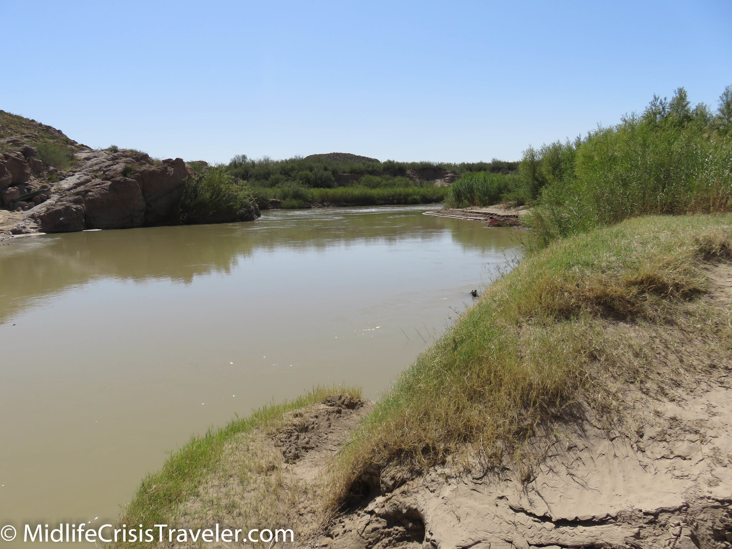
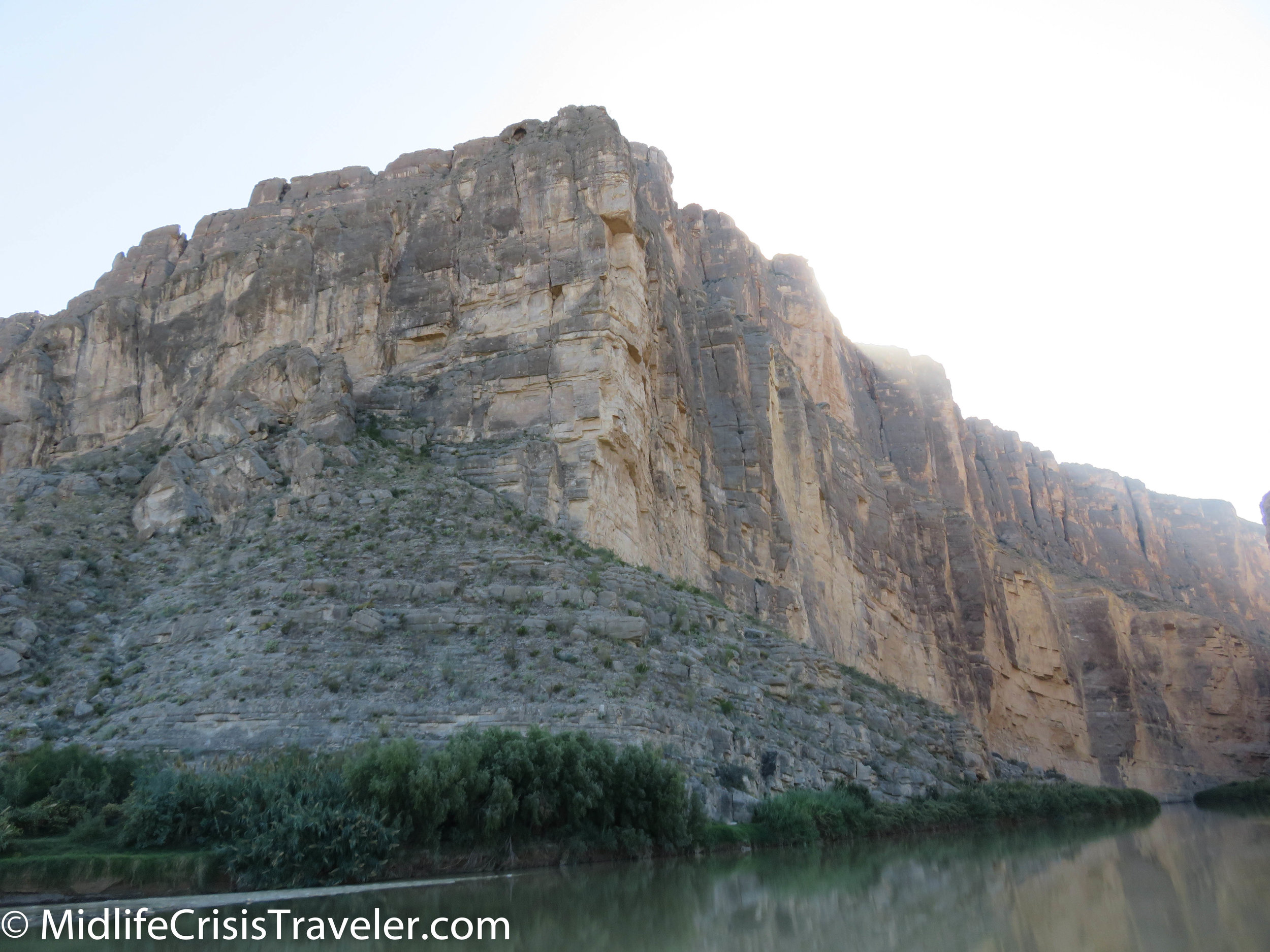
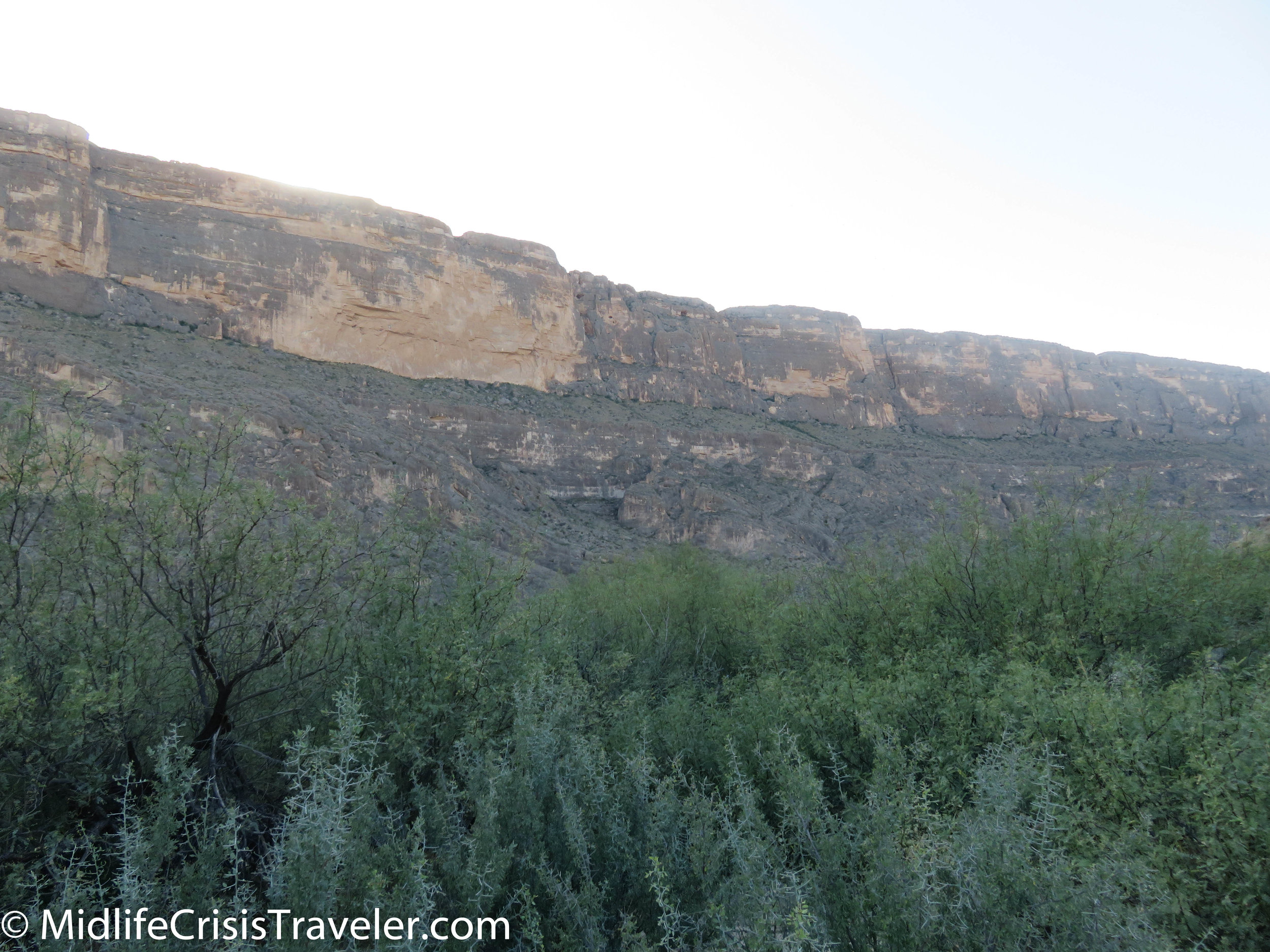
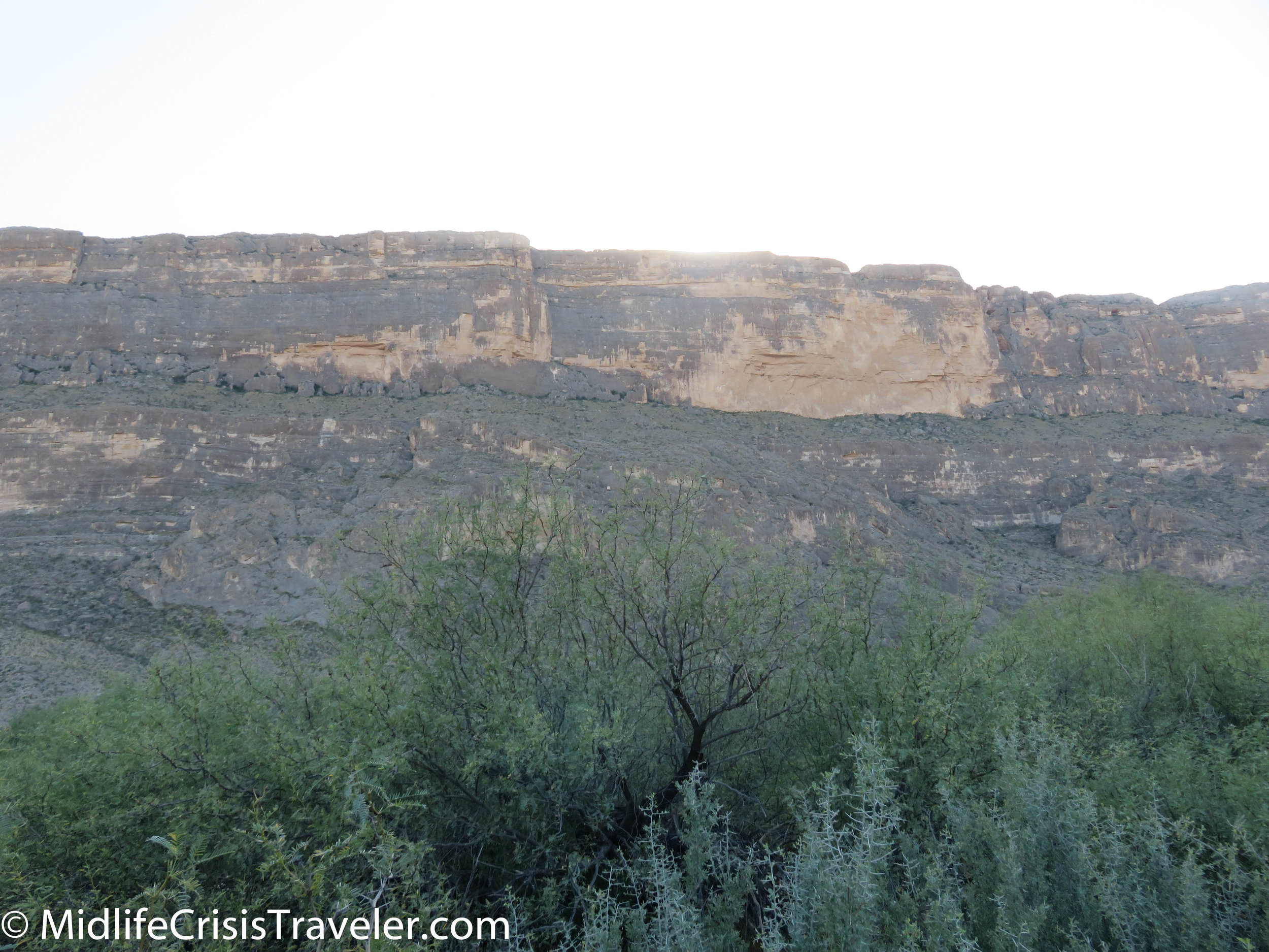
Boquillas Canyon and Santa Elena Canyon are almost at opposite ends of Big Bend National Park.  Boquillas is a dead end on the eastern arm of the park whereas Santa Elena is a dead end near the western tip of Big Bend.  Both are very remote areas that share the Rio Grande River as their southern border.  The surrounding landscape is equally as beautiful. 

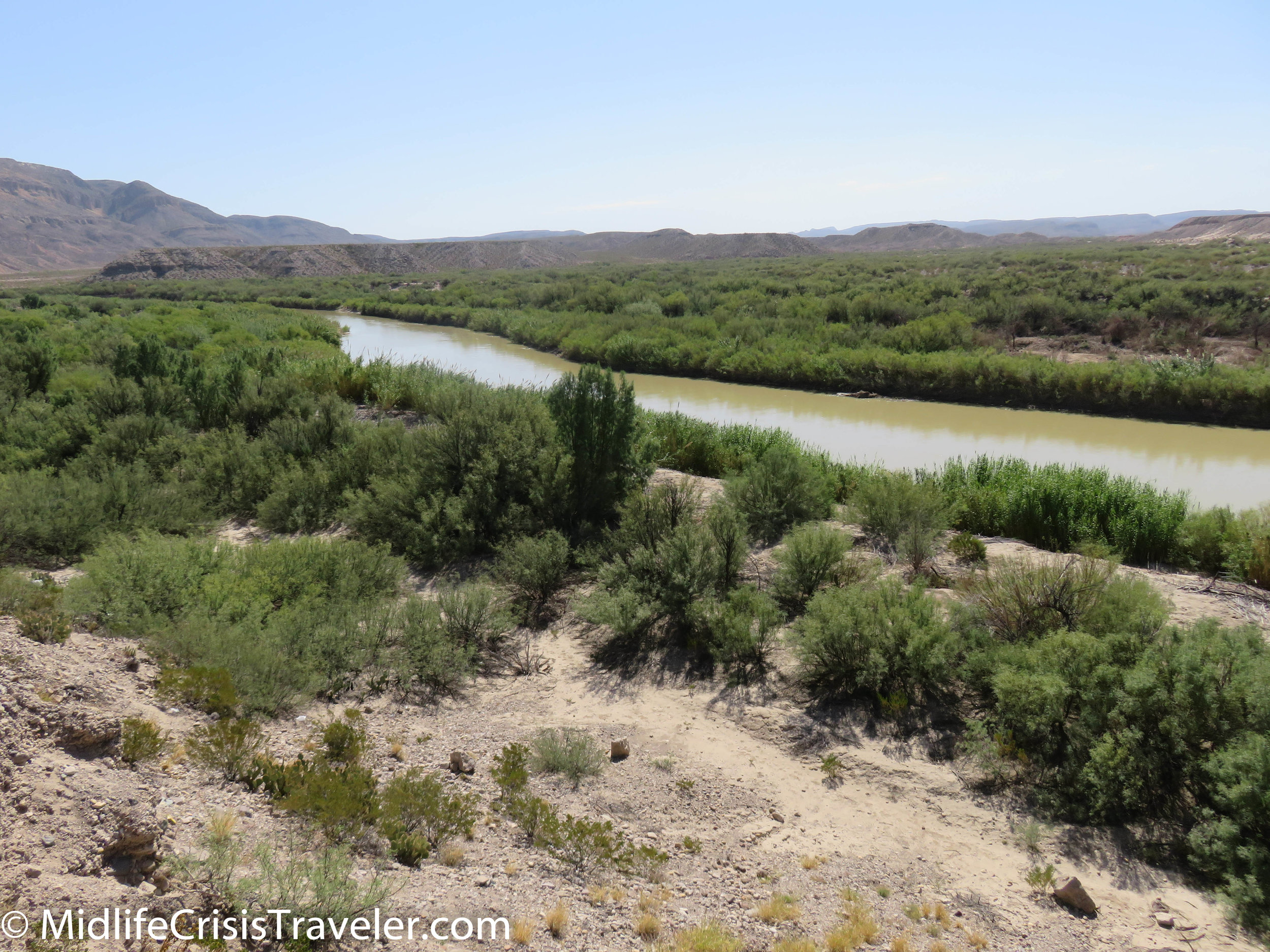
There are a dozen tributaries that feed the old Rio Grande.  Generations have navigated its flow and used its water to farm the land.  You can see the lush vegetation that thrives in the river basin.  It is a shallow river that is lazy at times and swift at others. 

Boquillas Canyon-2.jpg
Boquillas Canyon-3.jpg
Boquillas Canyon-4.jpg
Boquillas Canyon-5.jpg
Boquillas Canyon-6.jpg
Boquillas Canyon-7.jpg

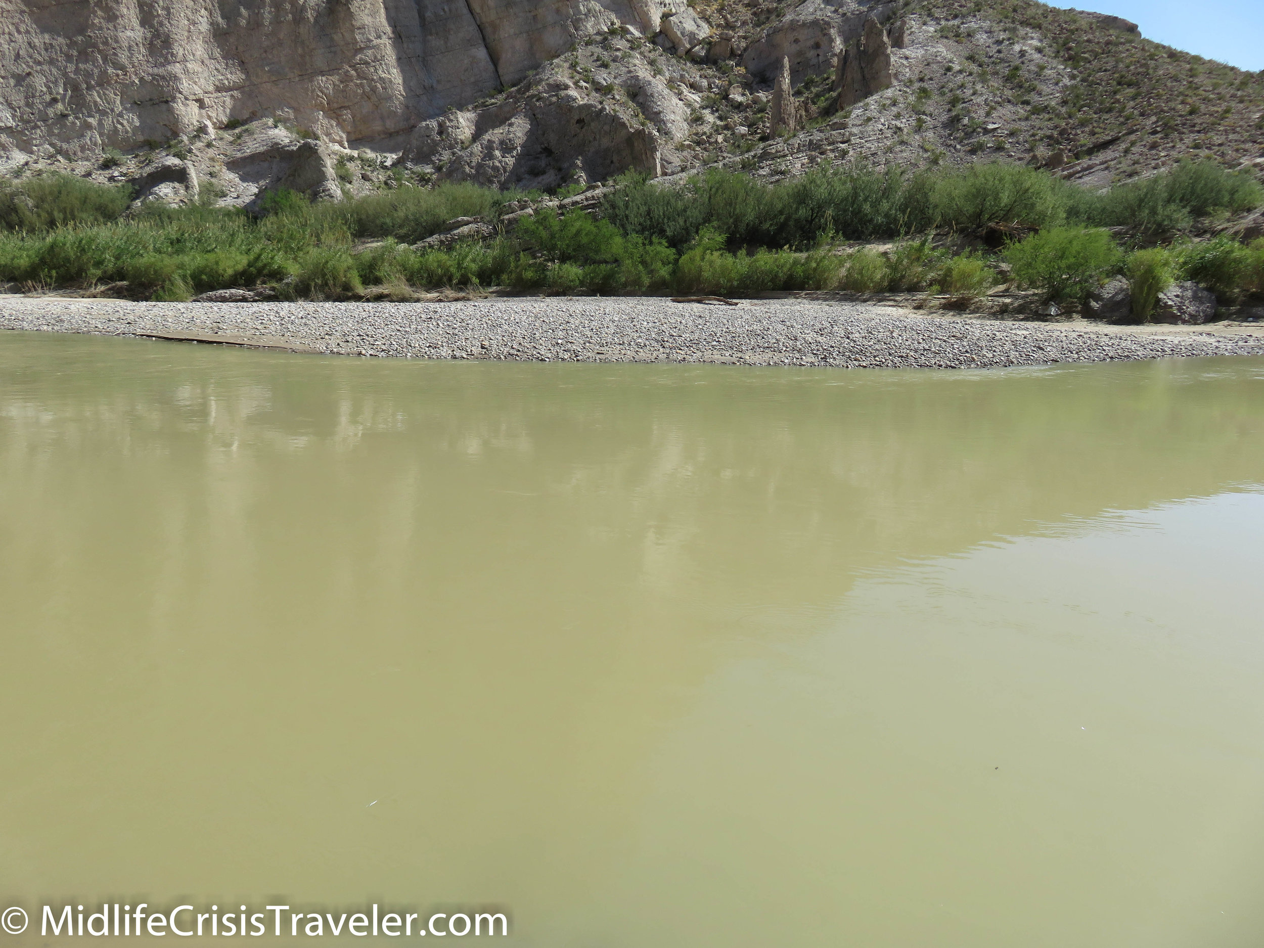
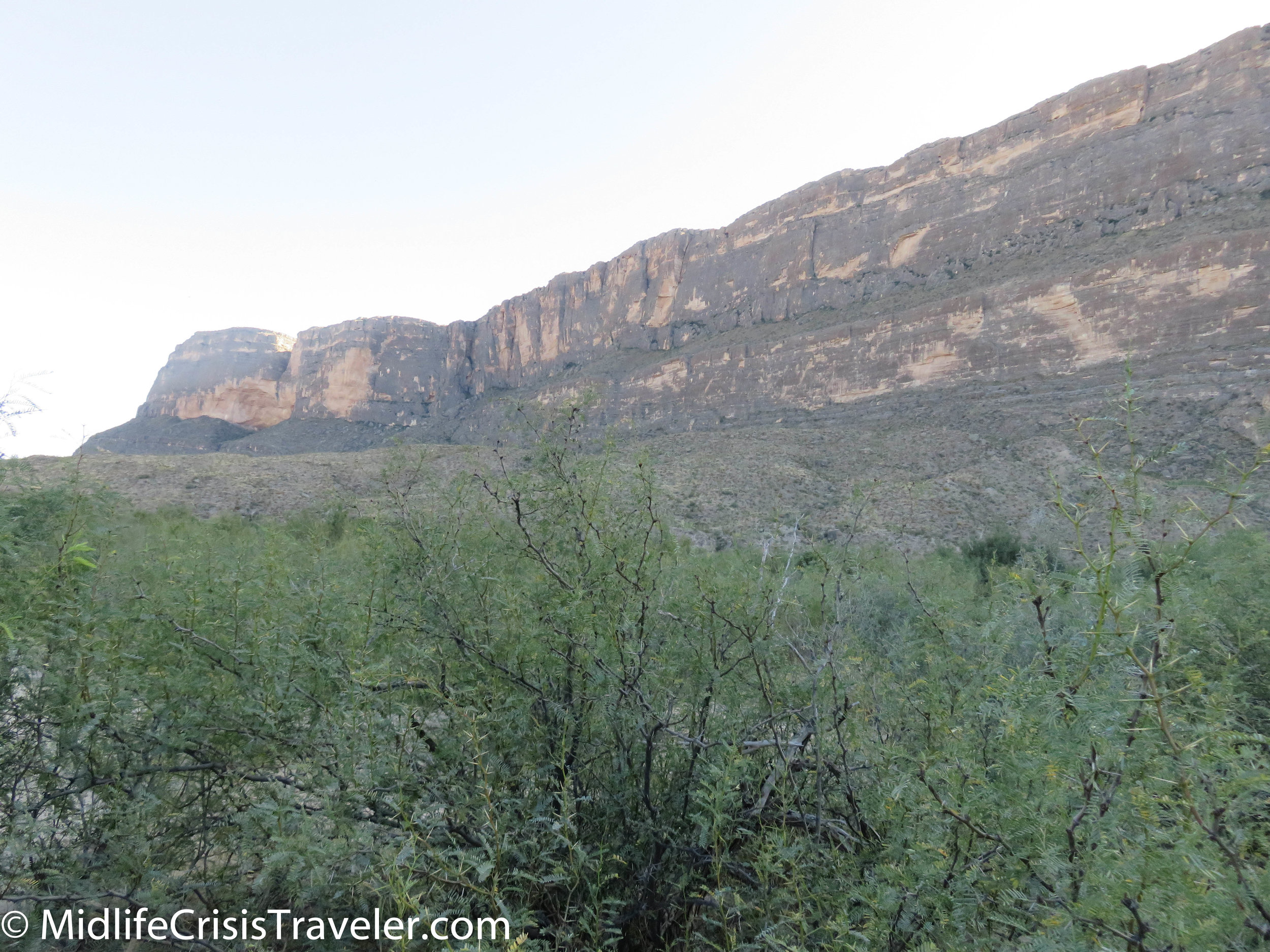
Boquillas Canyon’s jagged walls have been carved by the water.  You can either walk about 1.4 miles roundtrip on the trail along the river or take a 2-4 day rafting trip that will float you 33 miles down the canyon.  Whichever adventure you choose, be sure to wear sunglasses as the steep limestone walls of the canyon reflect the bright sunlight like a mirror. 

Boquillas Canyon-8.jpg
Boquillas Canyon-9.jpg
Boquillas Canyon-10.jpg
Boquillas Canyon-12.jpg
Boquillas Canyon-11.jpg
Boquillas Canyon-13.jpg
Boquillas Canyon-16.jpg
Boquillas Canyon-14.jpg
Boquillas Canyon-18.jpg
Boquillas Canyon-17.jpg

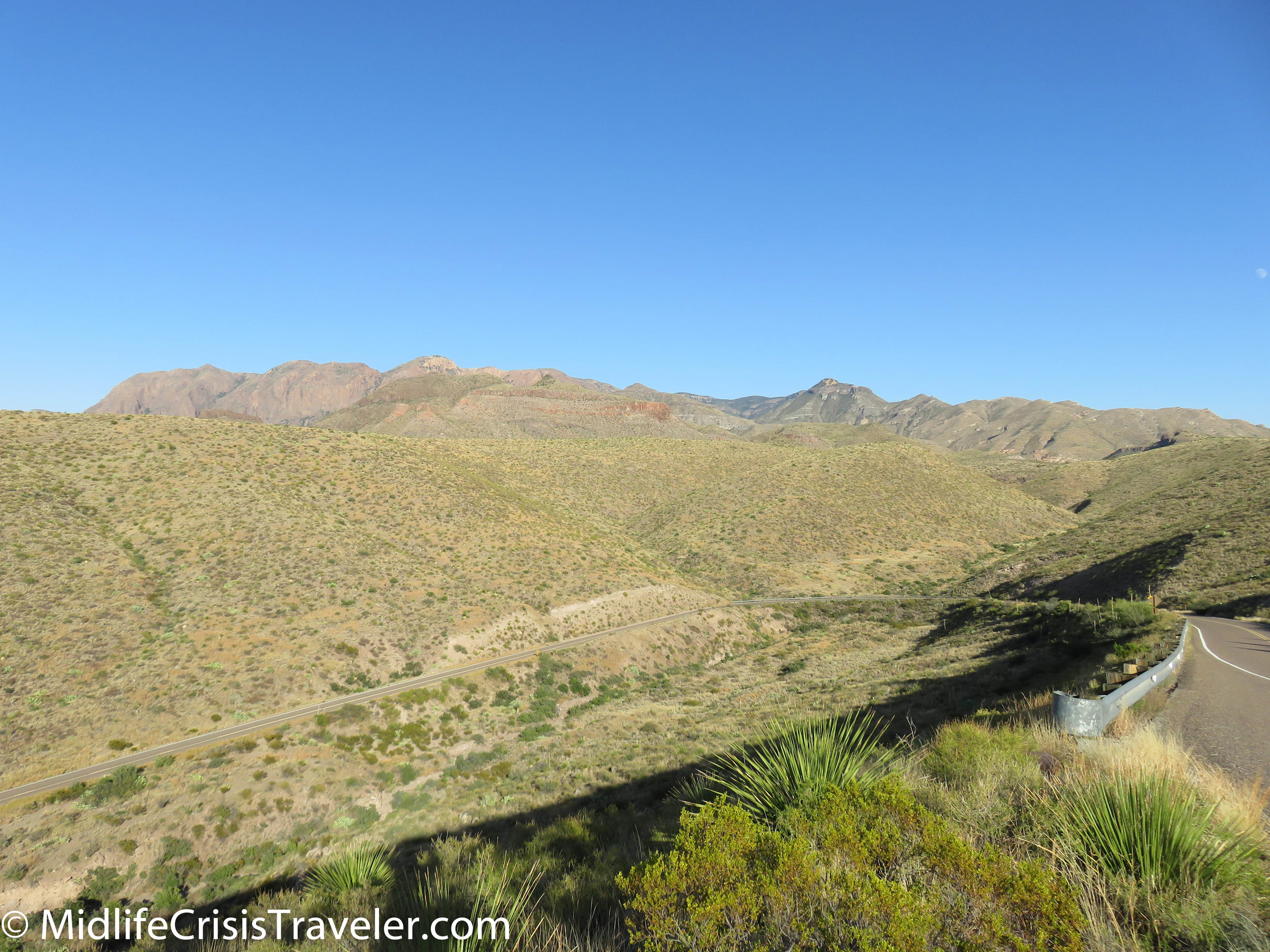
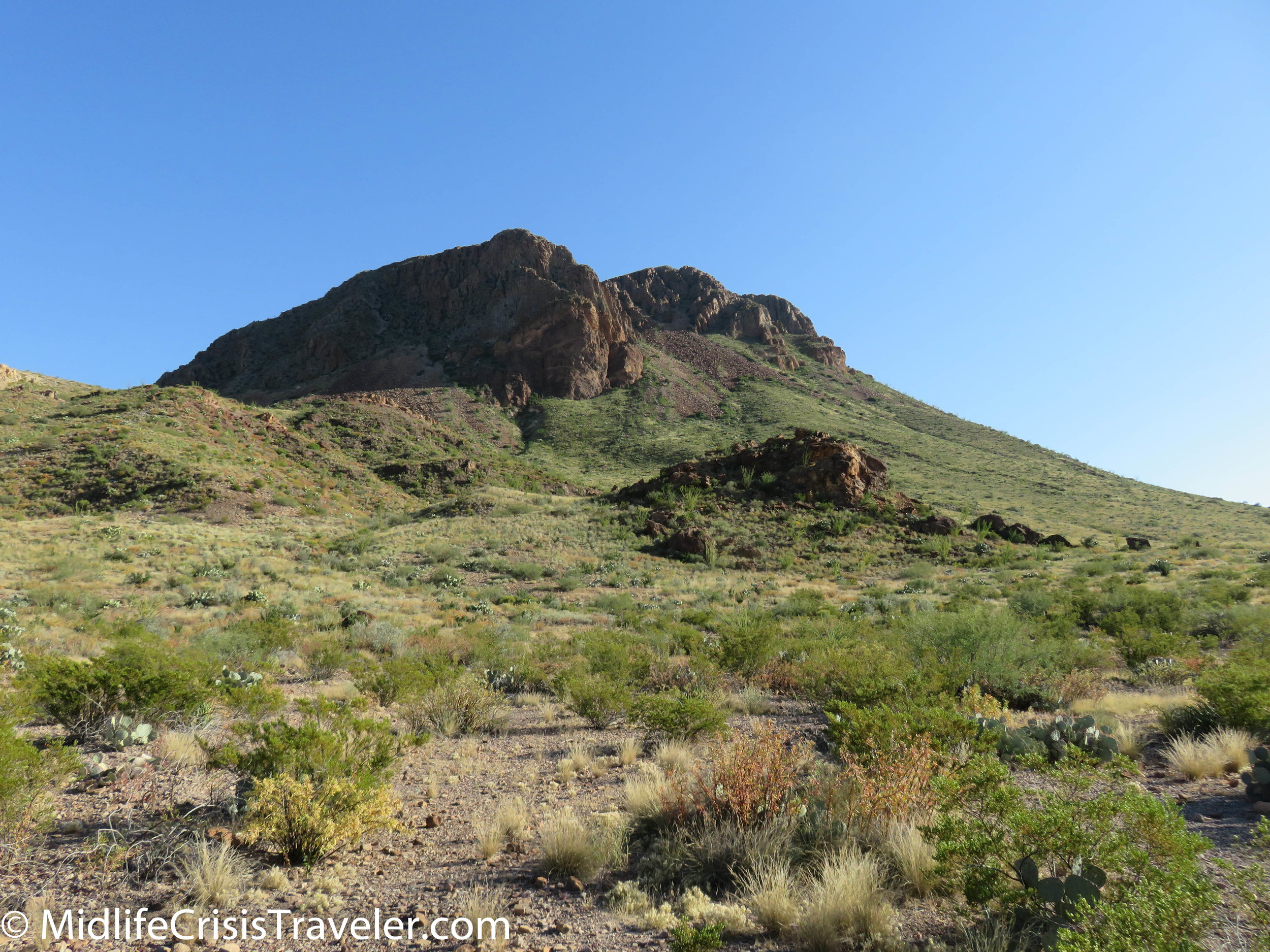
Rock formations on the road through Castolon have been shaped by volcanic eruptions occurring over millions of years.  The volcanic remnants protrude through grass, cactus and desert shrubbery.  The land is calm now, awaiting the next volcanic episode. 

Santa Elena Castolon-27.jpg
Santa Elena Castolon-25.jpg
Santa Elena Castolon-24.jpg
Santa Elena Castolon-23.jpg
Santa Elena Castolon-22.jpg
Santa Elena Castolon-21.jpg
Santa Elena Castolon-20.jpg
Santa Elena Castolon-19.jpg
Santa Elena Castolon-18.jpg
Santa Elena Castolon-14.jpg
Santa Elena Castolon-15.jpg
Santa Elena Castolon-13.jpg
Santa Elena Castolon-12.jpg
Santa Elena Castolon-11.jpg
Santa Elena Castolon-9.jpg

Santa Elena Canyon is a grand presentation of how water always wins.  The miniscule waves of the Rio Grande seem to be laughing at the massive rock that has been cut in half by millions of years of water assault.  The river no longer thrashes the limestone walls of the gorge, it is much more peaceful now.  Crossing the 80 feet or so of the Rio Grande is a federal crime as the grasslands at the foot of the cliff is Mexican land.  (Please no comments about immigration). 

Santa Elena Castolon-1.jpg
Santa Elena Castolon-4.jpg
Santa Elena Castolon-3.jpg
Santa Elena Castolon-5.jpg
Santa Elena Castolon-6.jpg
Santa Elena Castolon-7.jpg
Santa Elena Castolon-8.jpg

Have you visited Big Bend National Park?  What was your experience like? 

https://www.nps.gov/bibe/index.htm

Canyonlands National Park: The Southern Trails

Canyonlands is a park with borders.  There’s the Northern portion of Canyonlands which is mostly encapsulated by the White Rim Trail, a 100 mile route that is only fit for 4 wheel drive vehicles.  Then there is the Southern Canyonlands Park which is separated from the north by the confluence of the Green and Colorado Rivers and features the Needles.  

Canyonlands South-5.jpg
Canyonlands South-6.jpg
Canyonlands South-7.jpg

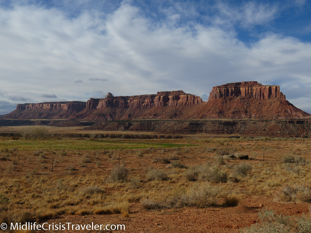
Ironically, both regions unfold stunning landscapes just outside their borders.  Rock formations that are no less spectacular than what can be found inside the park are not included within the park’s borders.  The Mineral Road is north of Canyonlands and was featured in this article.

https://www.midlifecrisistraveler.com/national-parks-blog-1/2017/12/30/canyonlands-national-park-mineral-bottom-a-treacherous-trail

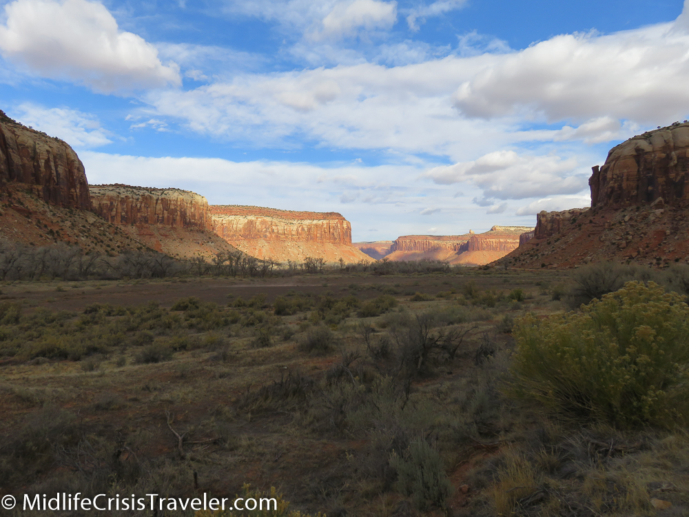
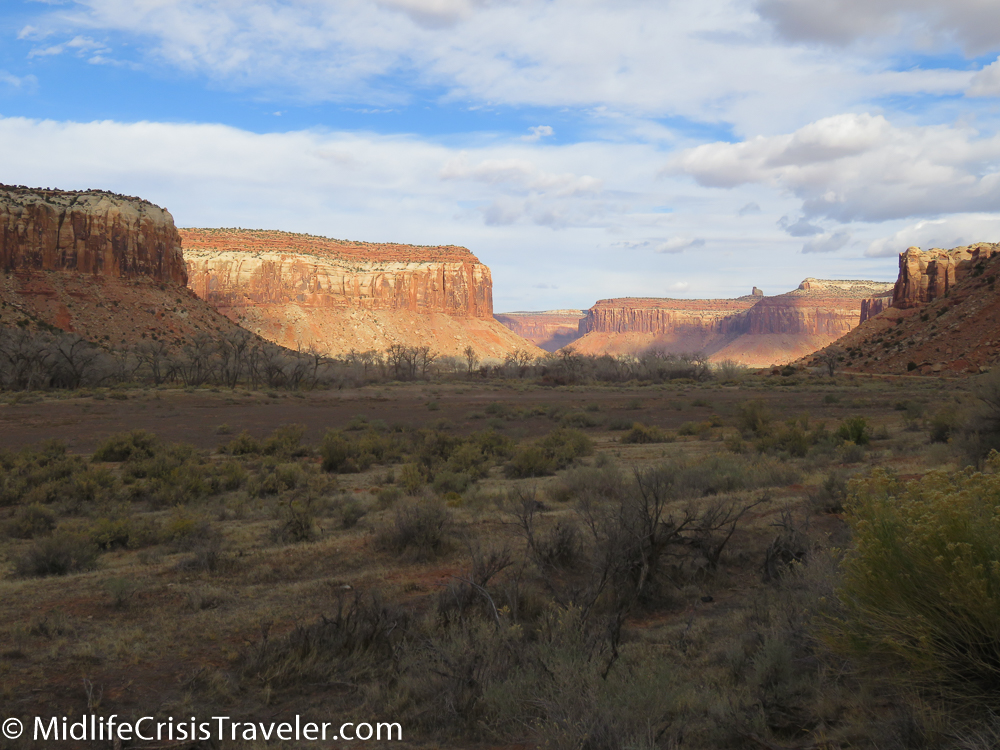
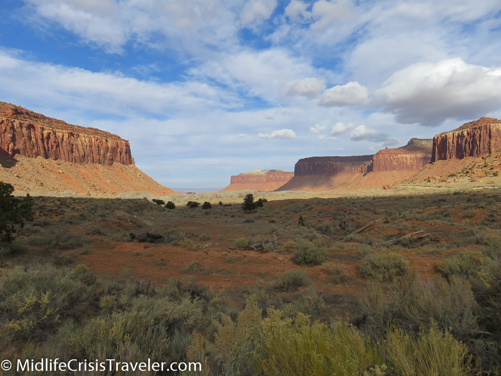
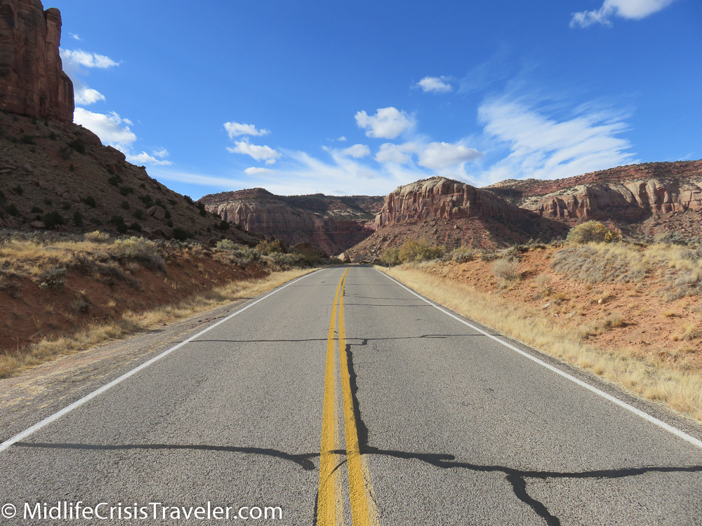
This article focuses on the southern area of the park which can be reached via Route 211.  Route 191 starts at Interstate 70 in central Utah and runs south to within a mile of the Mexican border.  Moab is the largest outpost in Utah on 191.  Driving south features the La Sal Mountains on the left and the Abajo Mountains on the right.  Route 211 appears to be your everyday run of the mill access road until around mile 6 when it reveals huge rock formations and glorious valleys bathed in sunlight.  Any 1950’s western could have been filmed here, it is that picturesque.  

Canyonlands South-77.jpg
Canyonlands South-79.jpg
Canyonlands South-80.jpg
Canyonlands South-81.jpg
Canyonlands South-83.jpg
Canyonlands South-84.jpg
Canyonlands South-86.jpg
Canyonlands South-88.jpg
Canyonlands South-89.jpg
Canyonlands South-90.jpg
Canyonlands South-91.jpg
Canyonlands South-92.jpg
Canyonlands South-93.jpg
Canyonlands South-94.jpg
Canyonlands South-95.jpg
Canyonlands South-96.jpg
Canyonlands South-101.jpg
Canyonlands South-103.jpg
Canyonlands South-107.jpg
Canyonlands South-108.jpg
Canyonlands South-110.jpg
Canyonlands South-111.jpg
Canyonlands South-120.jpg
Canyonlands South-185.jpg

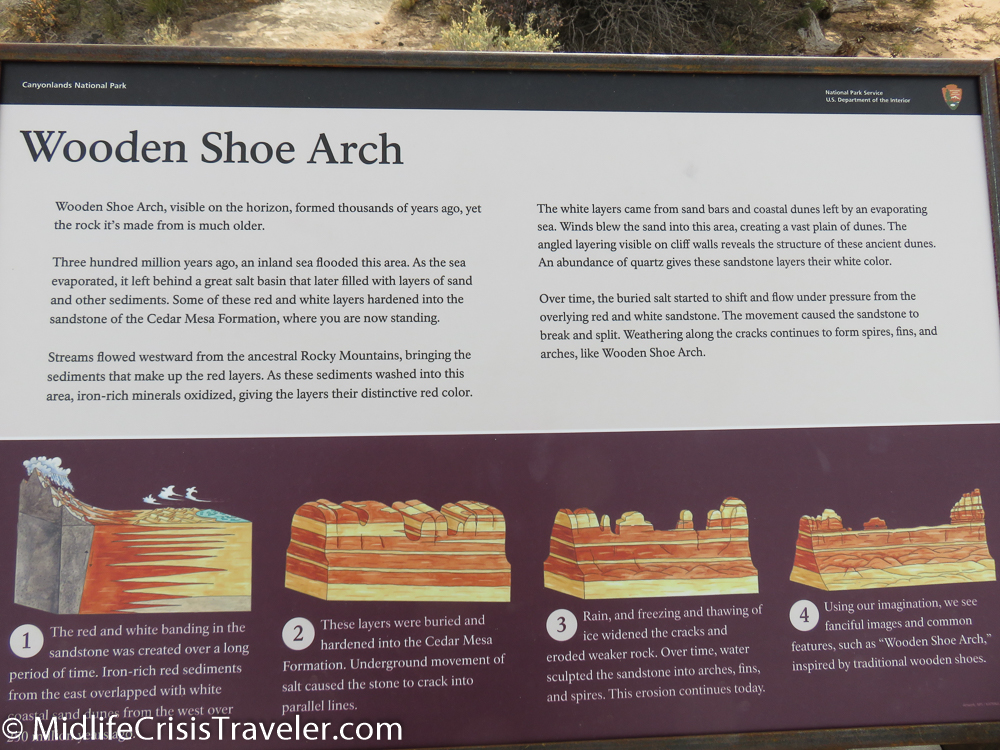
This land was formed 300 million years ago.  Twenty-nine different times this area was flooded with sea water. But each time the water  drained back to the ocean, leaving a legacy of beauty and history.   

Canyonlands South-45.jpg
Canyonlands South-46.jpg
Canyonlands South-47.jpg
Canyonlands South-48.jpg
Canyonlands South-49.jpg
Canyonlands South-50.jpg
Canyonlands South-74.jpg
Canyonlands South-75.jpg
Canyonlands South-76.jpg
Canyonlands South-32.jpg
Canyonlands South-33.jpg
Canyonlands South-36.jpg
Canyonlands South-38.jpg
Canyonlands South-39.jpg
Canyonlands South-40.jpg
Canyonlands South-41.jpg
Canyonlands South-42.jpg
Canyonlands South-43.jpg
Canyonlands South-34.jpg
Canyonlands South-32.jpg
Canyonlands South-33.jpg


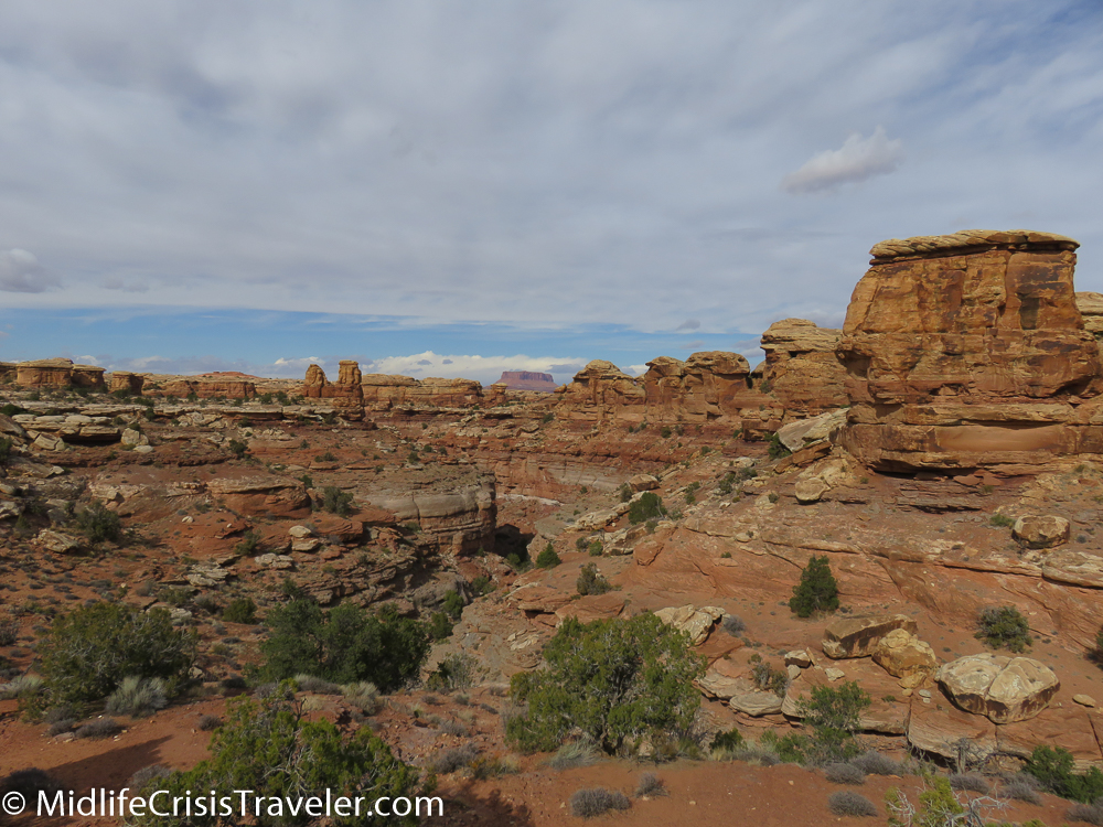
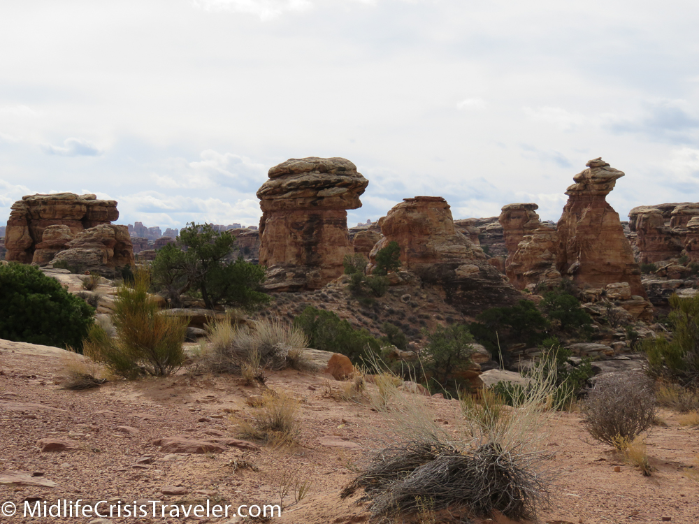
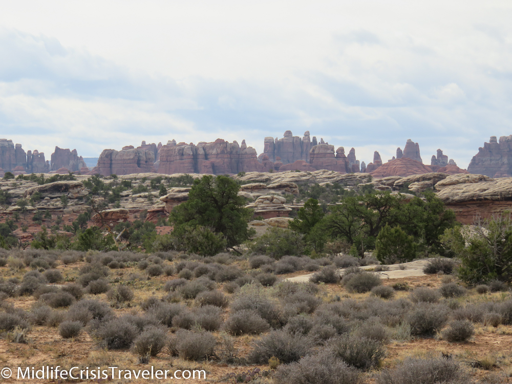
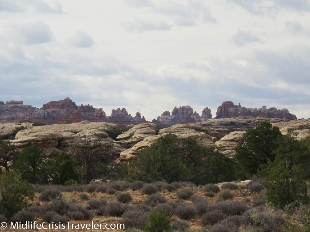
The interior of the park is a collection of scenic views, camping sites and hiking trails.  Beware, some of the ravens can be aggressive.  I saw a couple of them sitting on people’s cars while they were hiking.  There are a few roads but much of the land is only accessible via four wheel drive or hiking.  The Needles is the prominent area of this section of the park.  Many boulders can be seen sitting atop rock formations exposed by millions of years of erosion.

Canyonlands South-51.jpg
Canyonlands South-52.jpg
Canyonlands South-53.jpg
Canyonlands South-54.jpg
Canyonlands South-55.jpg
Canyonlands South-56.jpg
Canyonlands South-57.jpg
Canyonlands South-59.jpg
Canyonlands South-60.jpg
Canyonlands South-61.jpg
Canyonlands South-63.jpg
Canyonlands South-65.jpg
Canyonlands South-67.jpg
Canyonlands South-68.jpg
Canyonlands South-70.jpg
Canyonlands South-71.jpg
Canyonlands South-72.jpg

The southern portion of Canyonlands National Park is beautiful, but the grandiosity that exists just outside the park is the highlight of this journey.  I hope you will enjoy both areas.

Canyonlands South-30.jpg
Canyonlands South-29.jpg
Canyonlands South-28.jpg
Canyonlands South-27.jpg
Canyonlands South-26.jpg
Canyonlands South-24.jpg
Canyonlands South-22.jpg
Canyonlands South-20.jpg

Have you visited Canyonlands National Park?  What was your experience like?

For more information about Canyonlands National Park, click the link below.

https://www.nps.gov/cany/index.htm

Canyonlands National Park: Island in the Sky

Hope is like a road in the country; there was never a road, but when many people walk on it, the road comes into existence.
— Lin Yutang
Canyonlands North-1.JPG

On an overcast and extremely windy autumn day, Grand View Point Road is a lonely, winding trail curving left and right through the desert.  There is no indication of the dramatic wonderland that is simply a few hundred yards to the left or right.

Canyonlands North-3.jpg
Canyonlands North-4.jpg
Canyonlands North-5.jpg
Canyonlands North-7.jpg
Canyonlands North-2.jpg

Reaching the end at Grandview Point reveals only 3 other vehicles with visitors exploring the trails.  The weather has intimidated the tourist crowd today with 40-50 mile per hour wind gusts.  Who in their right mind would step near the edge of a thousand-foot ledge when the wind is that strong?  Of course I would. 

Canyonlands North-9.jpg
Canyonlands North-10.jpg
Canyonlands North-11.jpg
Canyonlands North-12.jpg
Canyonlands North-13.jpg
Canyonlands North-14.jpg
Canyonlands North-15.jpg

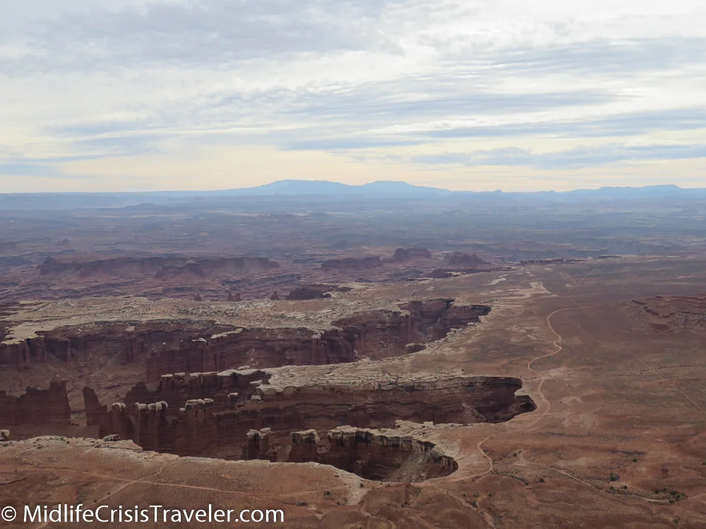
Canyonlands not only reveals one drop in depth but multiple drops.  It’s a canyon within a canyon.  Visitors are given the choice to peer over the edge from vantage points along Grand View Point Road down at the canyons or drive around the park on the White Rim Road which requires a four-wheel drive vehicle.  The White Rim Road is 100 miles long and the park service recommends that you take two days to complete it.   

Canyonlands North-16.jpg
Canyonlands North-17.jpg
Canyonlands North-18.jpg
Canyonlands North-19.jpg

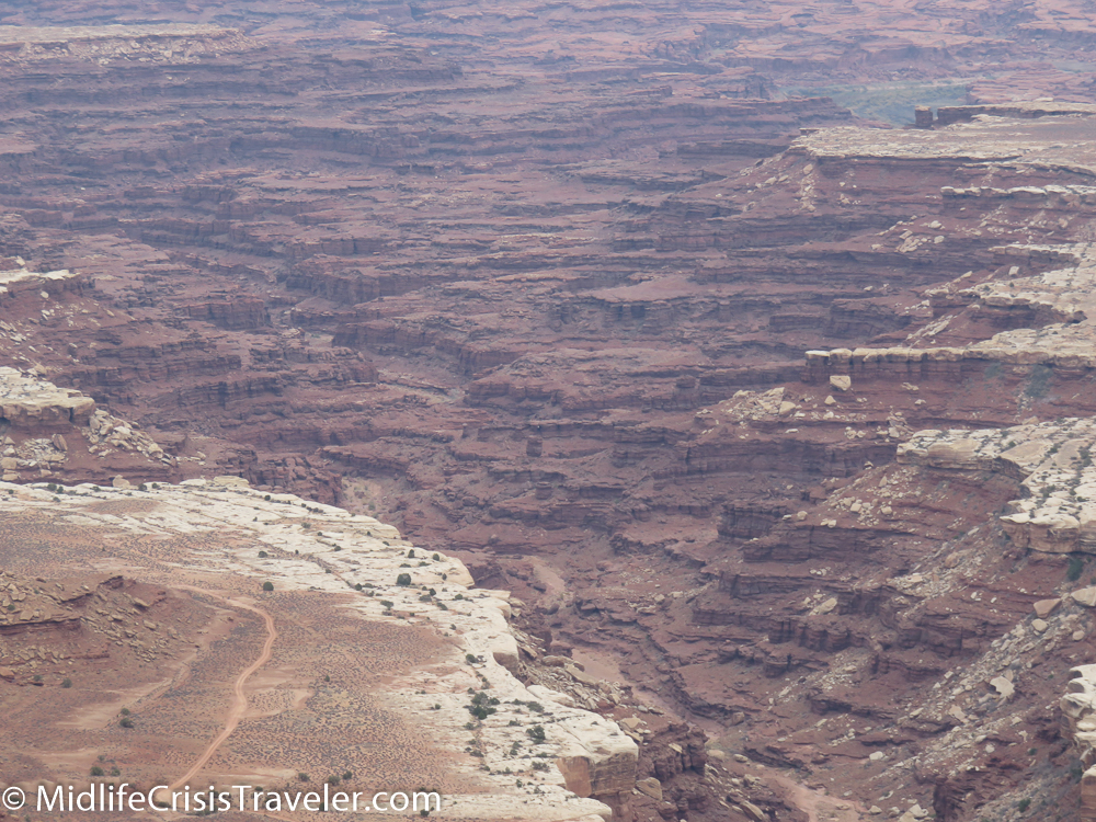
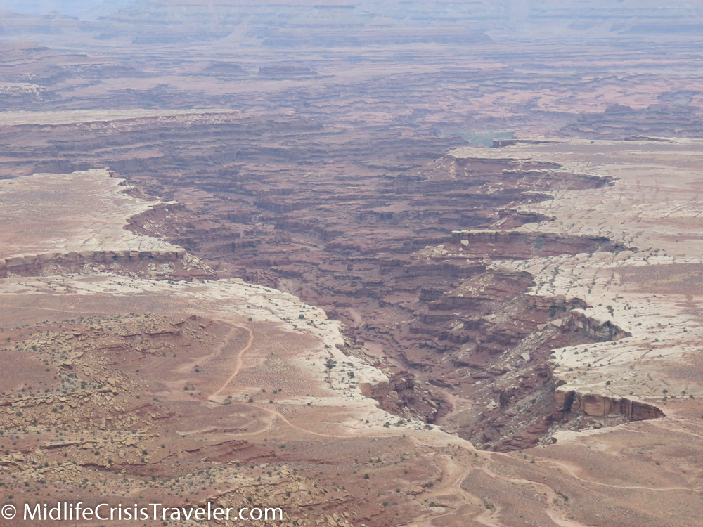
The canyon reveals levels of erosion from the last 320 million years or so.  Multiple colors and structure of rock have been carved from water and wind.  The Colorado and Green rivers both cut through this park and meet further south of Grand View Point. 

Canyonlands North-21.jpg
Canyonlands North-22.jpg
Canyonlands North-24.jpg
Canyonlands North-25.jpg
Canyonlands North-26.jpg
Canyonlands North-27.jpg
Canyonlands North-28.jpg
Canyonlands North-30.jpg
Canyonlands North-31.jpg
Canyonlands North-32.jpg

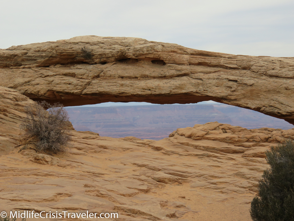
Mesa Arch is one of the most famous places to photograph the sunrise.  Alas, the clouds have spoiled this luxury today.  The arch still holds its value as a scenic wonder.  Its precarious perch defies gravity for now.  Sometime in the next billion years it may face its ultimate demise. 

Canyonlands North-35.jpg
Canyonlands North-36.jpg
Canyonlands North-37.jpg
Canyonlands North-38.jpg
Canyonlands North-40.jpg
Canyonlands North-41.jpg
Canyonlands North-44.jpg
Canyonlands North-45.jpg
Canyonlands North-54.jpg
Canyonlands North-47.jpg
Canyonlands North-48.jpg
Canyonlands North-52.jpg
Canyonlands North-51.jpg
Canyonlands North-53.jpg

Climbing near-vertical mountains isn’t easy so a series of switchbacks allows vehicles to slowly inch their way to the top safely.  It is imperative to maintain attention to the road as guardrails and barriers are nowhere to be found.  This is the wild where only the strong and smart survive. 

Canyonlands North-58.jpg
Canyonlands North-59.jpg
Canyonlands North-61.jpg
Canyonlands North-62.jpg
Canyonlands North-63.jpg
Canyonlands North-68.jpg
Canyonlands North-66.jpg
Canyonlands North-65.jpg

For more information about Canyonlands National Park, click the link below.

https://www.nps.gov/cany/index.htm

Have you visited Canyonlands National Park?  What was your experience like? 

Great Smoky Mountains National Park: Fire and Waterfalls

Fire

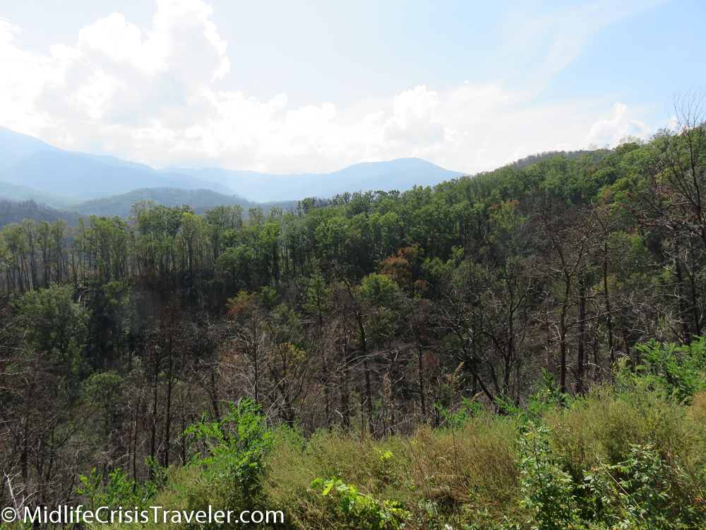
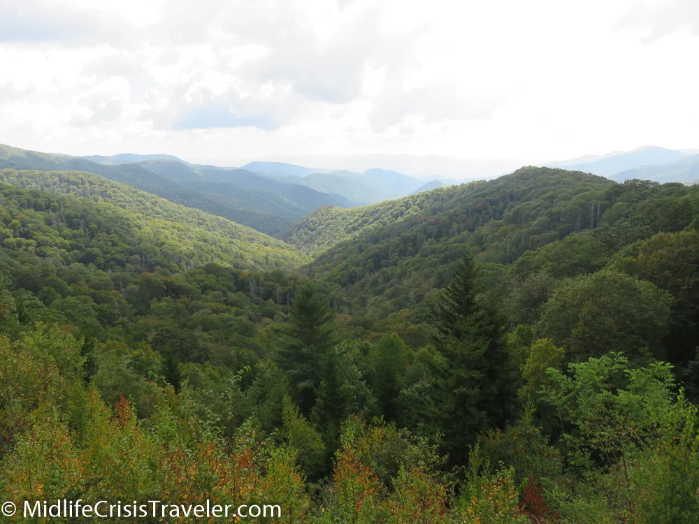
One cannot visit the Great Smoky Mountains and ignore the reality of what took place between late November and mid-December 2016.  Forest fires started and spread throughout the area of the park and Gatlinburg as well as some other towns several miles north.  Fourteen people died and 134 people were injured.  Here are some pictures of the areas that were burned.  Many of these areas have already started to recover.  You can see that the fire came dangerously close to a good number of hotels on the edge of the park. 

Great Smoky Mountains-133.jpg
Great Smoky Mountains-135.jpg
Great Smoky Mountains-137.jpg
Great Smoky Mountains-140.jpg
Great Smoky Mountains-141.jpg
Great Smoky Mountains-142.jpg
Great Smoky Mountains-143.jpg
Great Smoky Mountains-144.jpg
Great Smoky Mountains-145.jpg

Waterfalls

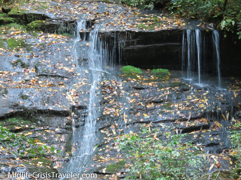
There are various waterfalls throughout the park.  These two falls: Juney Whank and Tom Branch Falls are in an area southwest of Route 441.  Upon leaving the park on Route 441, take Route 19 South until you reach Bryson City.  Drive north past the Smoky Mountain Campground and you are within walking distance of three waterfalls.  Due to the late time of the day, I was only able to capture two of the falls in pictures and video.  This is a very secluded area.  I only saw two people while I spent an hour or so there.  The Juney Whank Falls are up a rather steep hill whereas the Tom Branch Falls are a short, flat walk from the parking lot.  If you want to get away from the hustle and bustle of Gatlinburg or Clingman’s Dome, this is the place.  Enjoy.

Great Smoky Mountains-146.jpg
Great Smoky Mountains-147.jpg
Great Smoky Mountains-148.jpg

Tom Branch Falls

Great Smoky Mountains-154.jpg
Great Smoky Mountains-151.jpg
Great Smoky Mountains-152.jpg
Great Smoky Mountains-150.jpg
Great Smoky Mountains-155.jpg
Great Smoky Mountains-156.jpg

Have you visited Great Smoky Mountains National Park?  What was your experience like?  Which waterfall is your favorite?  You can read more about this National Park by clicking the link below.
https://www.nps.gov/grsm/index.htm

Great Smoky Mountains National Park: The Heart and Soul of the Park

Please be patient, it may take a minute for all of the pictures and video to load.

East and Southeast

Great Smoky Mountains-6.jpg
Great Smoky Mountains-7.jpg
Great Smoky Mountains-8.jpg
Great Smoky Mountains-11.jpg
Great Smoky Mountains-12.jpg

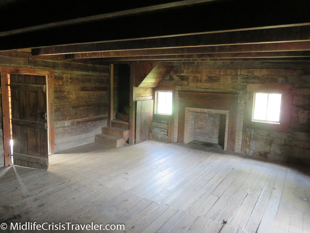
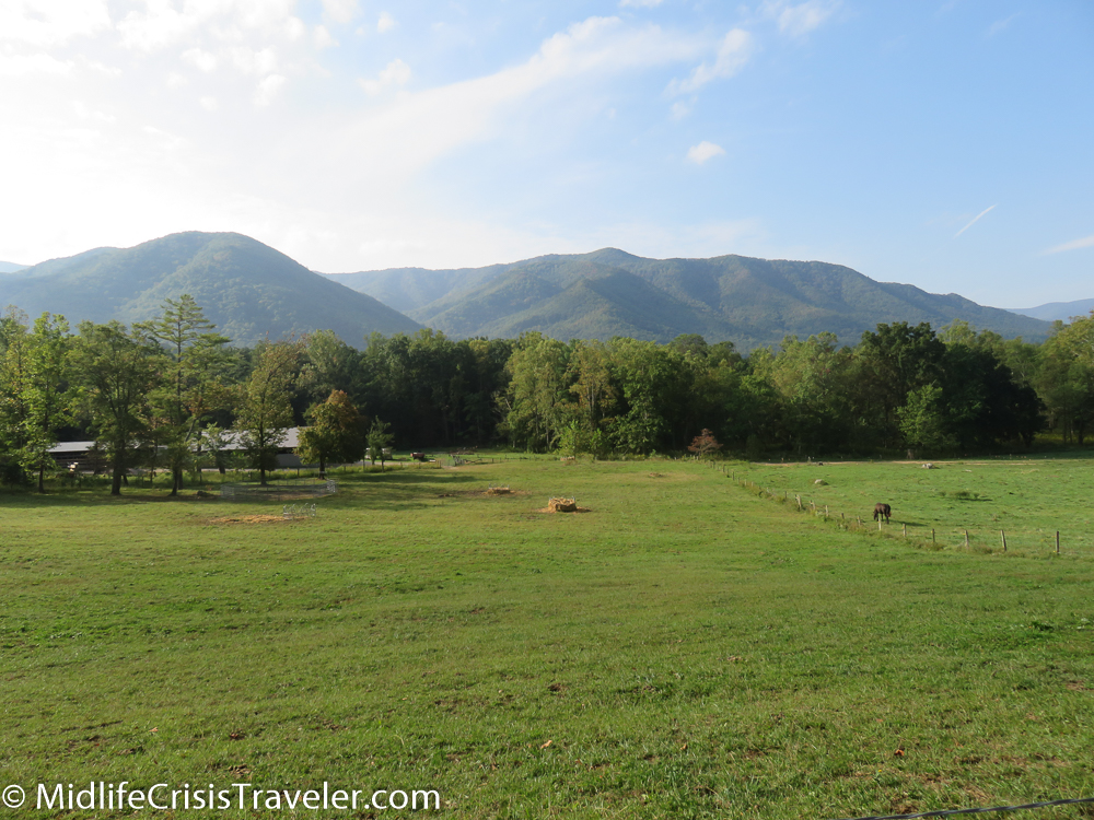
Interstate 40 is the eastern border for Great Smoky Mountains National Park.  It doesn’t afford a lot of scenic views so you might want to get off the highway and take either Route 339 or Route 32 for some picture taking opportunities.  The east side of the park is not as developed as the central area of the park.  There are many old residences on the back roads here and sometimes you might just end up on someone’s driveway.  I don’t recommend spending much time in this area of the park because of the limited scenic overlooks that have been established.  The Cataloochee area in the southeastern block of the park has herds of elk that you might be able to see but be careful, they are very large animals and could attack if you get too close.

Great Smoky Mountains-14.jpg
Great Smoky Mountains-16.jpg
Great Smoky Mountains-15.jpg
Great Smoky Mountains-17.jpg
Great Smoky Mountains-23.jpg
Great Smoky Mountains-24.jpg
Great Smoky Mountains-26.jpg
Great Smoky Mountains-27.jpg
Great Smoky Mountains-28.jpg
Great Smoky Mountains-32.jpg
Great Smoky Mountains-33.jpg
Great Smoky Mountains-34.jpg

Central

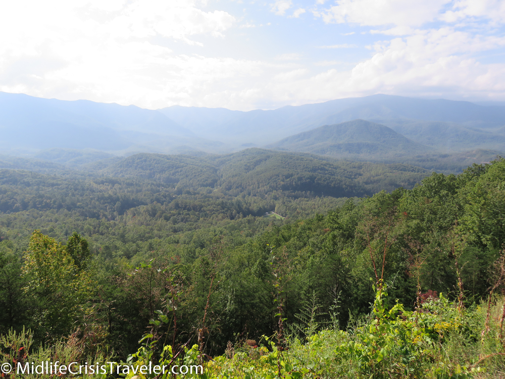
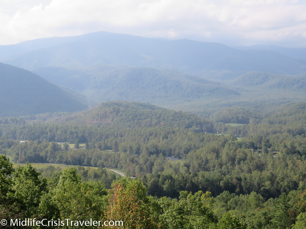
Route 441 literally cuts the park in half.  This is the heart and soul of the park.  There are many scenic overlooks and hiking trails where you can enjoy the environment and make memories with your camera.  This is also how you can reach Clingman’s Dome (you can read more about Clingman’s here ( https://www.midlifecrisistraveler.com/national-parks-blog-1/2017/12/12/great-smoky-mountains-national-park-clingmans-dome ) and the Fontana Lake area. 

Great Smoky Mountains-38.jpg
Great Smoky Mountains-39.jpg
Great Smoky Mountains-40.jpg
Great Smoky Mountains-44.jpg
Great Smoky Mountains-45.jpg
Great Smoky Mountains-58.jpg
Great Smoky Mountains-61.jpg
Great Smoky Mountains-63.jpg
Great Smoky Mountains-42.jpg
Great Smoky Mountains-92.jpg
Great Smoky Mountains-93.jpg
Great Smoky Mountains-67.jpg
Great Smoky Mountains-94.jpg
Great Smoky Mountains-95.jpg

Other Facts

When I was driving to Great Smoky Mountains National Park, I came upon an area that I didn’t know existed.  What I mean is that I had no idea that this area of Route 66 between Interstate 40 and Gatlinburg was so built up.  It is a 30 mile drive filled with hotels, restaurants, amusement parks, tourist trap entertainment and shopping.  I tend to like National Parks where there is less of the commercial world and more nature-focused.  If I had to recommend a National Park that is more nature-focused, I would recommend Shenandoah NP over Smoky Mountains.  I would recommend that you visit both and see which one you like better but, for my choice, I would take Shenandoah as my top selection.   

Great Smoky Mountains-96.jpg
Great Smoky Mountains-97.jpg
Great Smoky Mountains-100.jpg
Great Smoky Mountains-101.jpg
Great Smoky Mountains-103.jpg
Great Smoky Mountains-131.jpg
Great Smoky Mountains-159.jpg
Great Smoky Mountains-163.jpg
Great Smoky Mountains-162.jpg

Have you visited Great Smoky Mountains National Park?  What did you like about it?  What is your favorite area?  For more information about this National Park, click on the link below.

https://www.nps.gov/grsm/index.htm


Hot Springs National Park: The Natural Spa

Spending several hours in a car driving hundreds of miles day after day after day is more strenuous than most people realize.  Even the most comfortable vehicle can elicit a snap, crackle and pop from one’s joints after sitting in the same position for hours at a time.  Hot Springs National Park is perfectly situated if you are making a cross-country journey. 

Hot Springs-7.jpg
Hot Springs-9.jpg

Hot Springs, Arkansas is located between Routes 30 and 40 just southwest of Little Rock.  It is a small park that packs a wallop.  It offers beautiful views, quiet surroundings and rejuvenating water that would make Ponce De Leon’s head spin.  Visitors take in the surroundings by picnicking, hiking, camping or taking a bath.  That’s right, I said taking a bath. 

Hot Springs-118.jpg

A friend of mine recommended the Buckstaff Bathhouse for its soothing treatment.  She is a physician so I must say that it was just what the doctor ordered.  The Buckstaff does not take reservations so it is best to walk in on a weekday when they are not quite as busy.  I went with the $71 package which included: 30 minutes or so in a hot mineral bath (the jets loosen you up); 15 minutes in a Sitz bath (an inferno where you are surrounded by hot steam); 15 minutes wrapped in hot towels (targeting tight muscles wherever you have them); and a 20 minute Swedish massage (Steven was excellent).  This prepared me for my drive to Austin TX that day which meant that I would be in the car for about seven hours.  I was extremely relaxed and it helped me complete my trip safely. 

Hot Springs-119.jpg

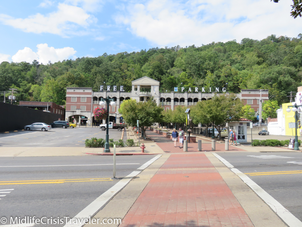
The Buckstaff is located on Central Avenue (just outside the park) which is also known as Bathhouse Row.  Tours are available or you can just go through the process of having a bath as I did.  There is free parking a block away at the municipal garage. 

Hot Springs-120.jpg
Hot Springs-40.jpg
Hot Springs-41.jpg

I met some friends when I first arrived at the park.  They did not offer me part of their afternoon snack. 

The deer were less than 100 yards away from the famous Hot Springs National Park Mountain Tower.  Here is some video from the observation deck.

Hot Springs-27.jpg
Hot Springs-28.jpg
Hot Springs-29.jpg

Hot Springs is a city but still has a small-town persona.  The view from the Mountain Tower reveals the city.  The roads and trails surrounding it provide the intimate small-town atmosphere.  If you’re looking for a quiet getaway with that small-town feel, Hot Springs is your kind of place. 

Hot Springs-1.jpg
Hot Springs-2.jpg
Hot Springs-42.jpg

Have you visited Hot Springs National Park?  What were your impressions?  Would you recommend this park to other people?

For more information about Hot Springs National Park, click the link below.

https://www.nps.gov/hosp/index.htm