Canyonlands National Park: The Southern Trails

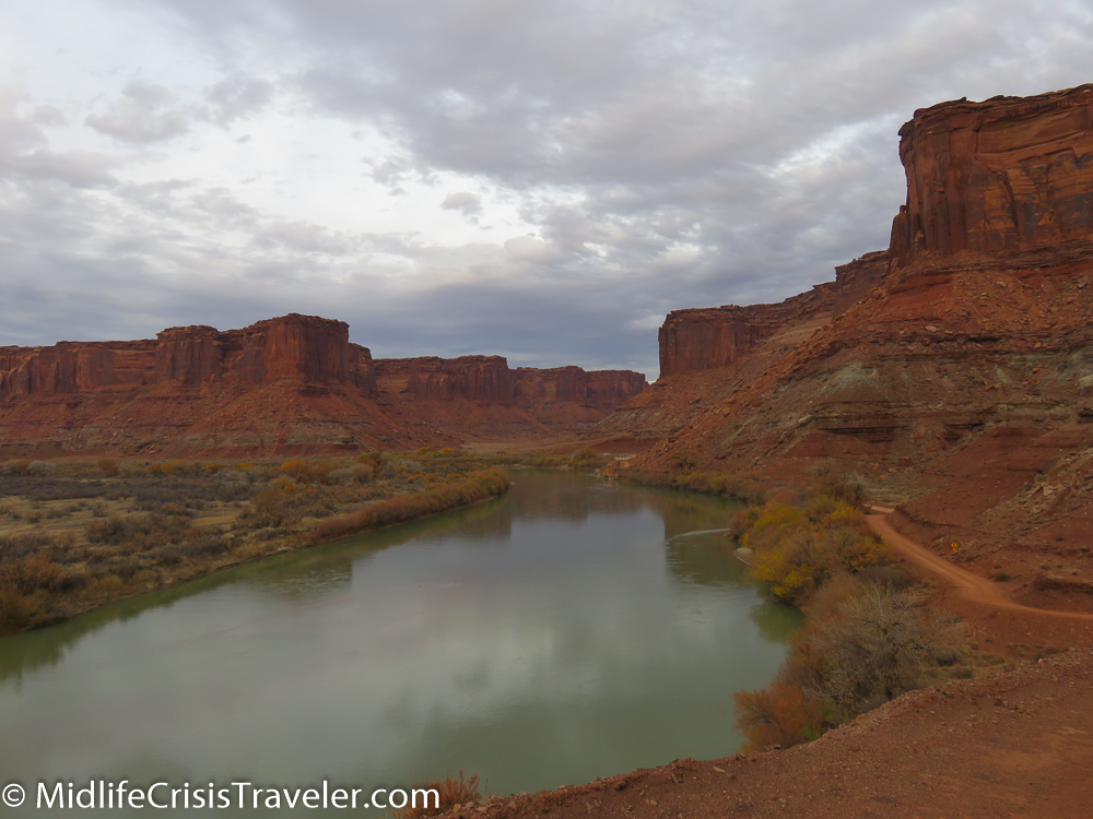
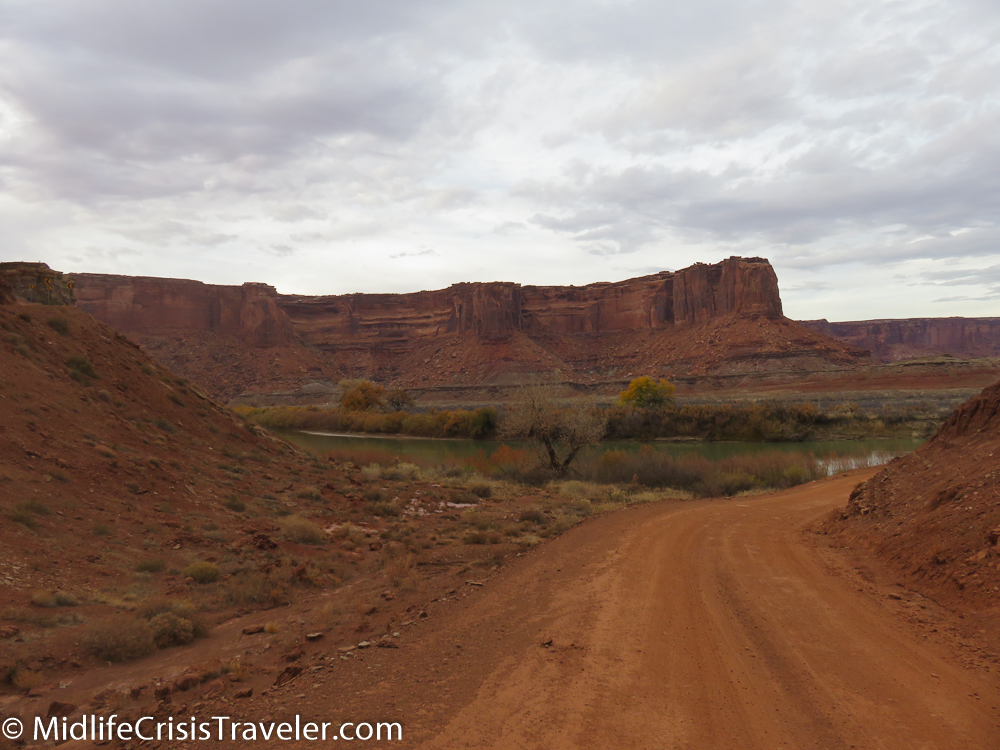
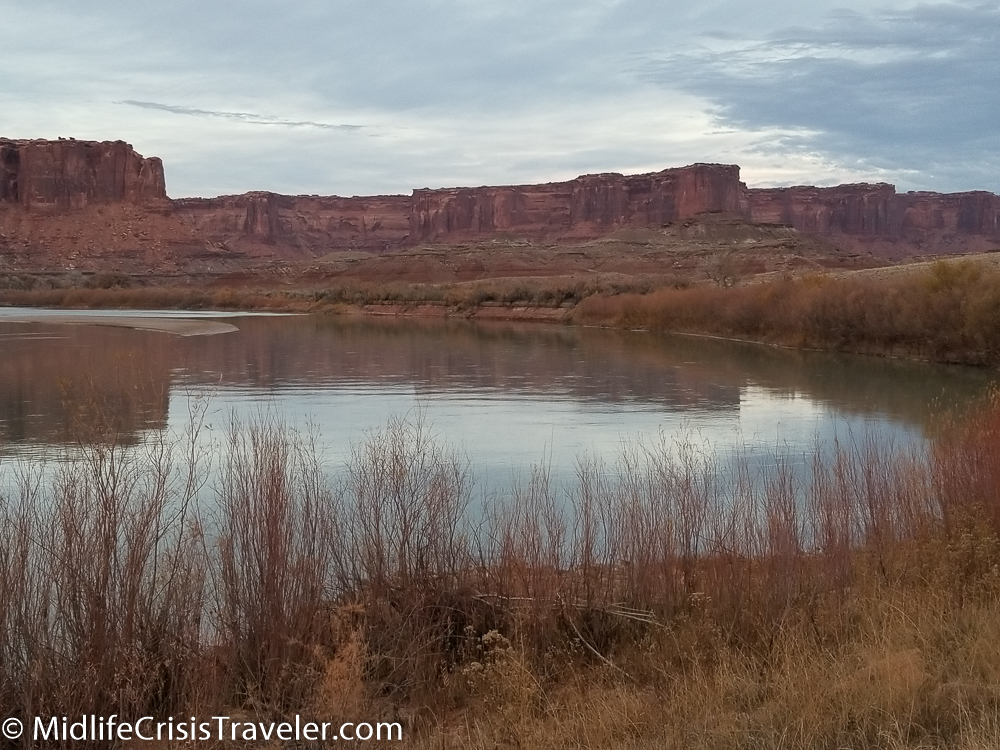
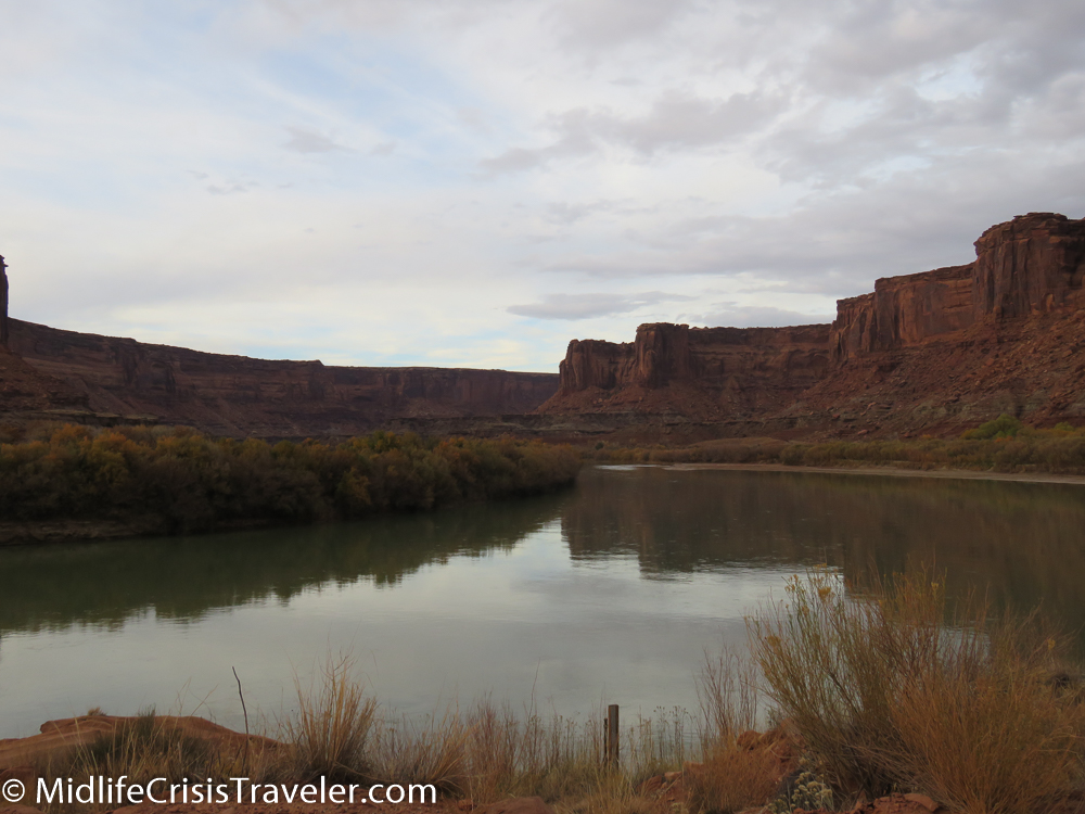
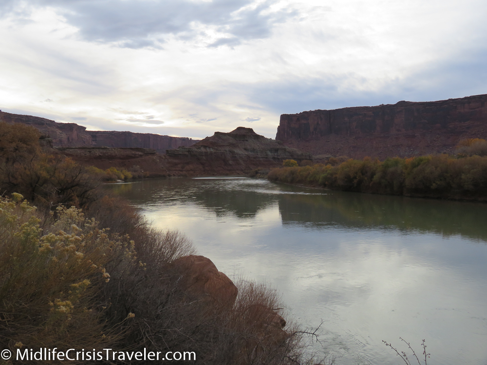
Canyonlands is a park with borders.  There’s the Northern portion of Canyonlands which is mostly encapsulated by the White Rim Trail, a 100 mile route that is only fit for 4 wheel drive vehicles.  Then there is the Southern Canyonlands Park which is separated from the north by the confluence of the Green and Colorado Rivers and features the Needles.  

Canyonlands South-5.jpg
Canyonlands South-6.jpg
Canyonlands South-7.jpg

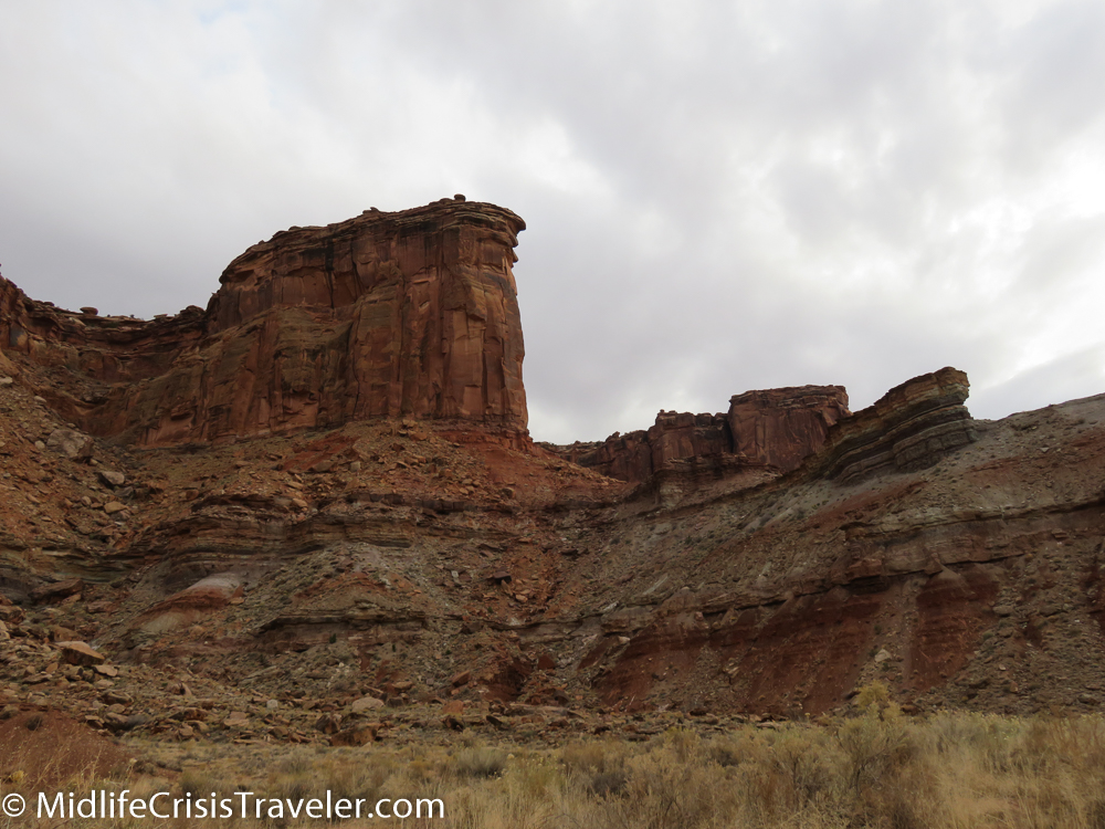
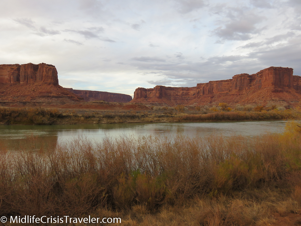
Ironically, both regions unfold stunning landscapes just outside their borders.  Rock formations that are no less spectacular than what can be found inside the park are not included within the park’s borders.  The Mineral Road is north of Canyonlands and was featured in this article.

https://www.midlifecrisistraveler.com/national-parks-blog-1/2017/12/30/canyonlands-national-park-mineral-bottom-a-treacherous-trail

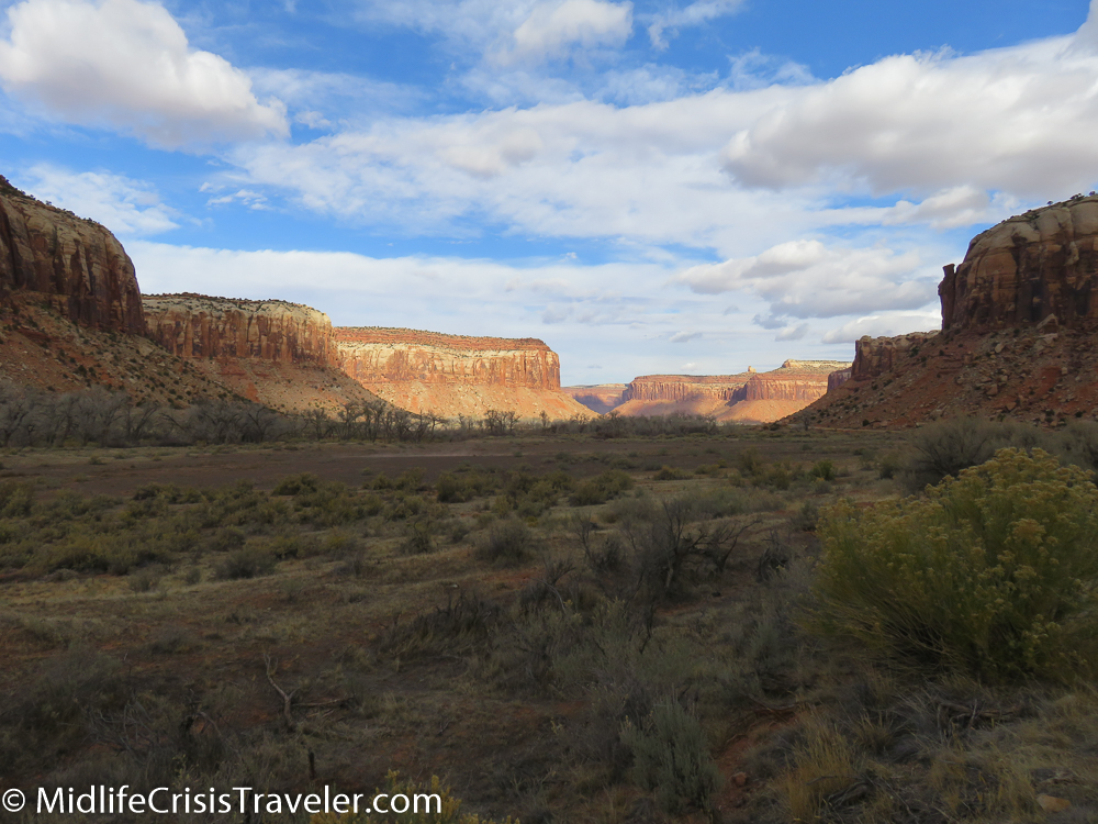
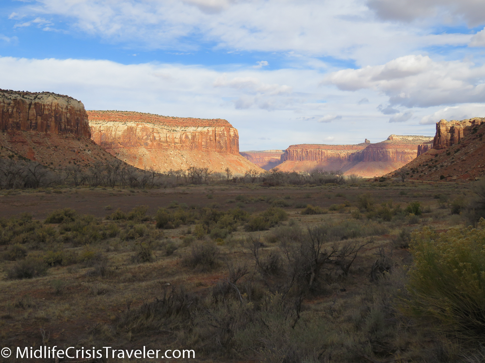
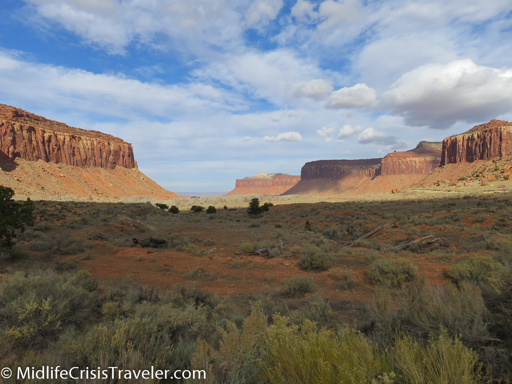
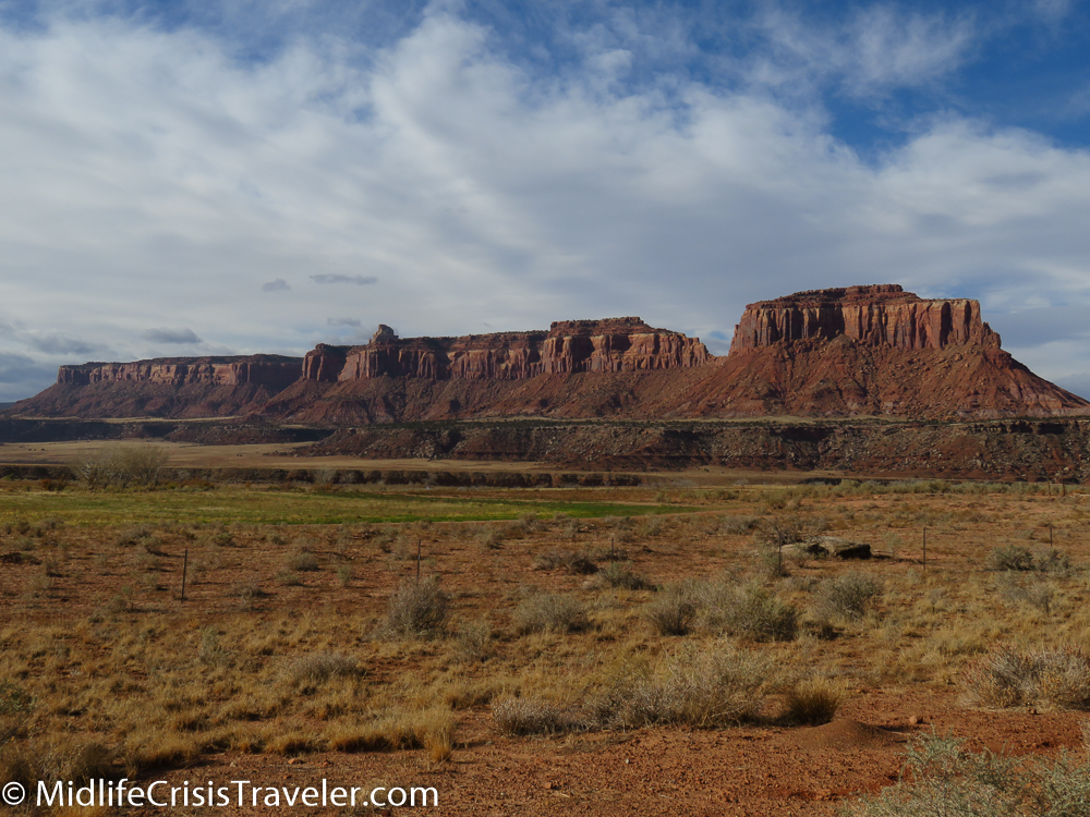
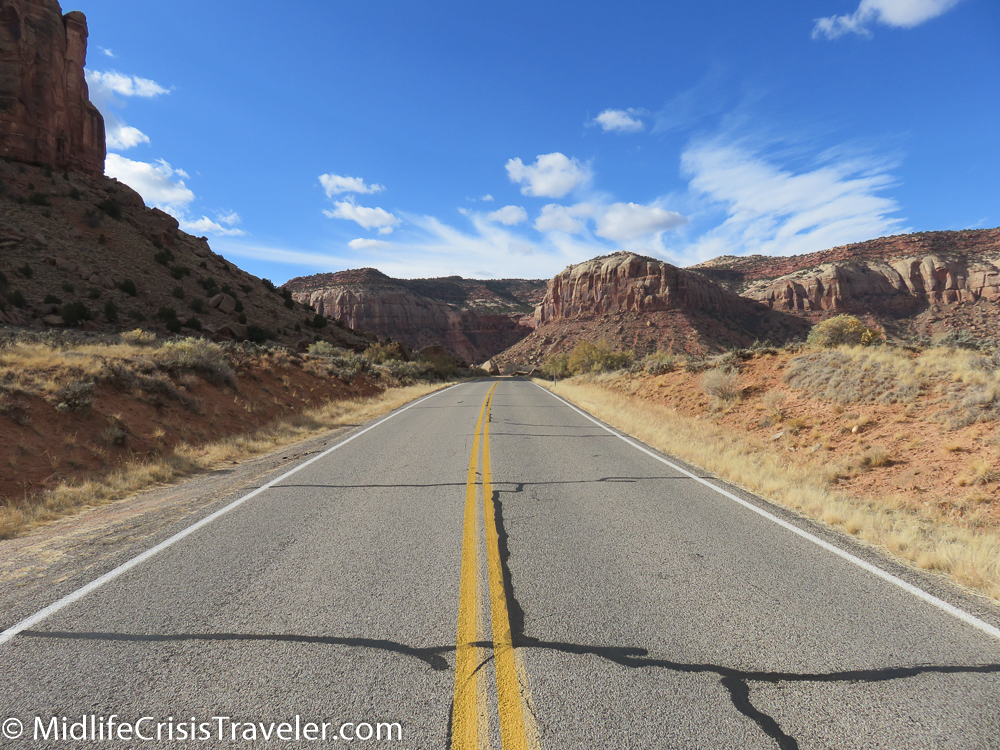
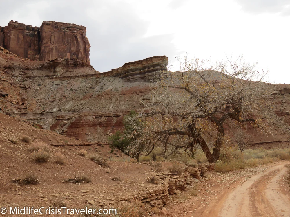
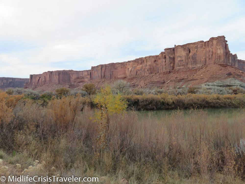
This article focuses on the southern area of the park which can be reached via Route 211.  Route 191 starts at Interstate 70 in central Utah and runs south to within a mile of the Mexican border.  Moab is the largest outpost in Utah on 191.  Driving south features the La Sal Mountains on the left and the Abajo Mountains on the right.  Route 211 appears to be your everyday run of the mill access road until around mile 6 when it reveals huge rock formations and glorious valleys bathed in sunlight.  Any 1950’s western could have been filmed here, it is that picturesque.  

Canyonlands South-77.jpg
Canyonlands South-79.jpg
Canyonlands South-80.jpg
Canyonlands South-81.jpg
Canyonlands South-83.jpg
Canyonlands South-84.jpg
Canyonlands South-86.jpg
Canyonlands South-88.jpg
Canyonlands South-89.jpg
Canyonlands South-90.jpg
Canyonlands South-91.jpg
Canyonlands South-92.jpg
Canyonlands South-93.jpg
Canyonlands South-94.jpg
Canyonlands South-95.jpg
Canyonlands South-96.jpg
Canyonlands South-101.jpg
Canyonlands South-103.jpg
Canyonlands South-107.jpg
Canyonlands South-108.jpg
Canyonlands South-110.jpg
Canyonlands South-111.jpg
Canyonlands South-120.jpg
Canyonlands South-185.jpg

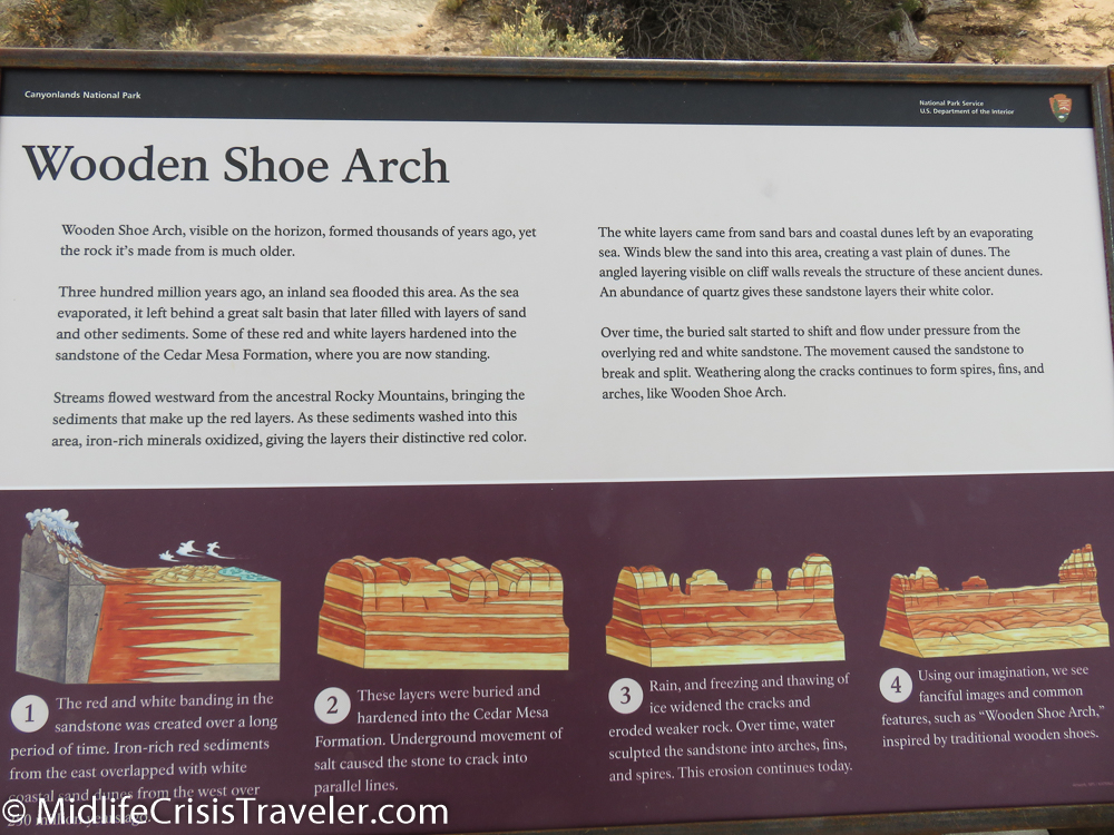
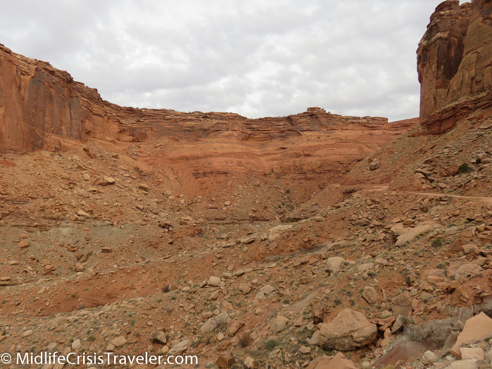
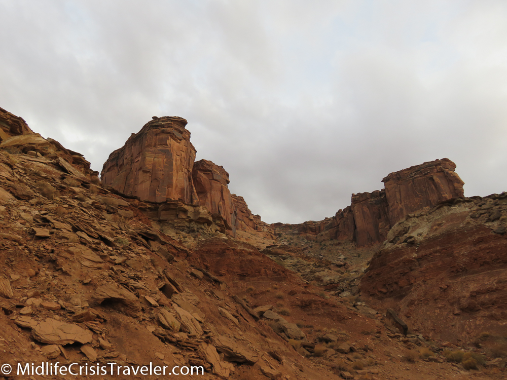
This land was formed 300 million years ago.  Twenty-nine different times this area was flooded with sea water. But each time the water  drained back to the ocean, leaving a legacy of beauty and history.   

Canyonlands South-45.jpg
Canyonlands South-46.jpg
Canyonlands South-47.jpg
Canyonlands South-48.jpg
Canyonlands South-49.jpg
Canyonlands South-50.jpg
Canyonlands South-74.jpg
Canyonlands South-75.jpg
Canyonlands South-76.jpg
Canyonlands South-32.jpg
Canyonlands South-33.jpg
Canyonlands South-36.jpg
Canyonlands South-38.jpg
Canyonlands South-39.jpg
Canyonlands South-40.jpg
Canyonlands South-41.jpg
Canyonlands South-42.jpg
Canyonlands South-43.jpg
Canyonlands South-34.jpg
Canyonlands South-32.jpg
Canyonlands South-33.jpg


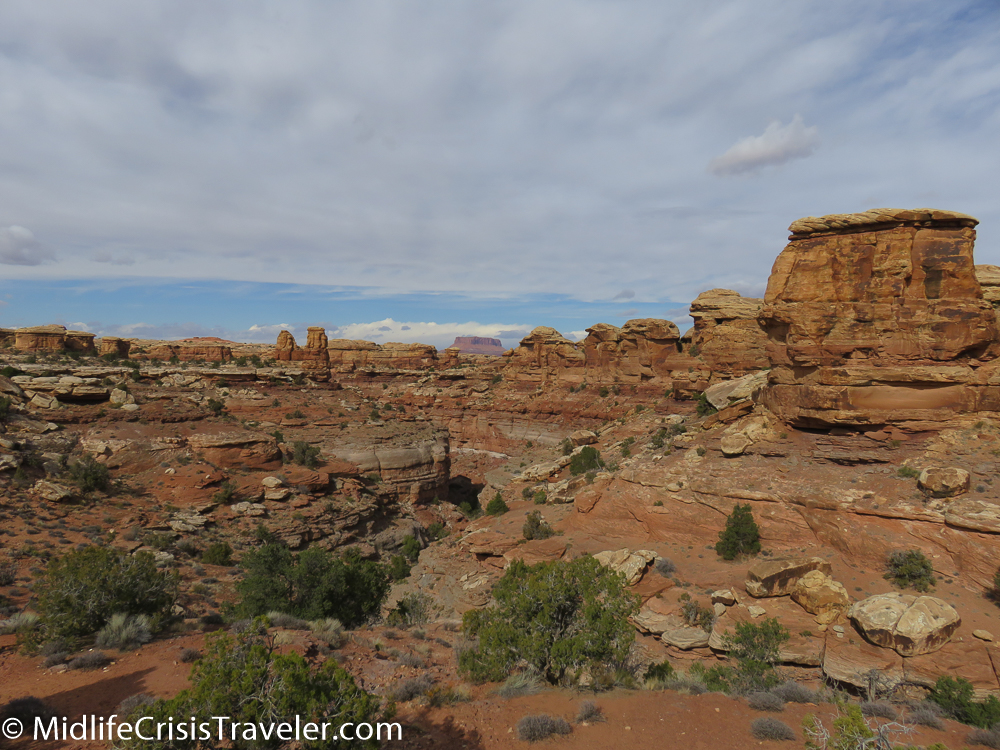
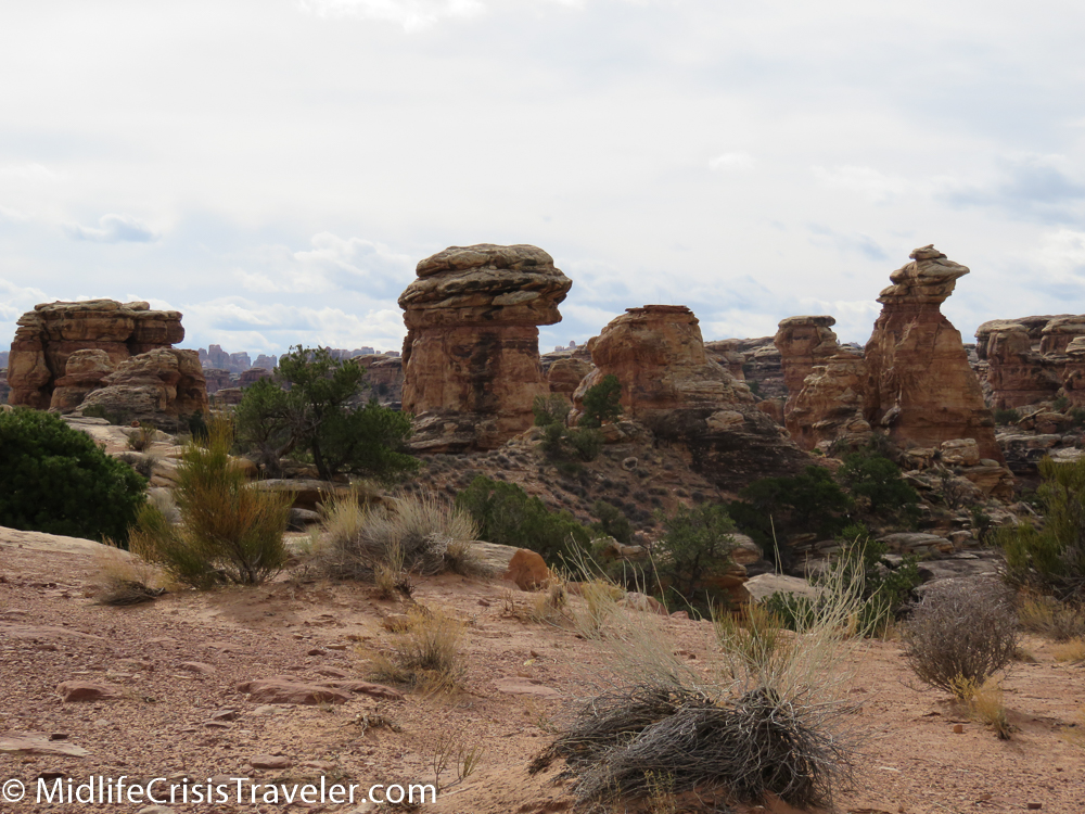
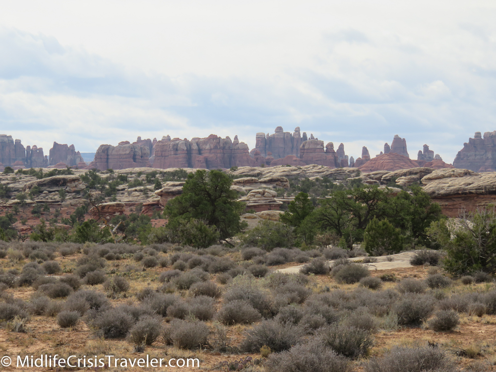
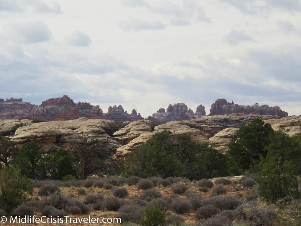
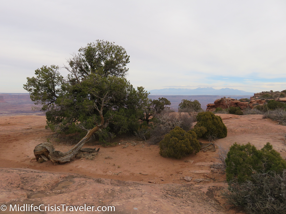
The interior of the park is a collection of scenic views, camping sites and hiking trails.  Beware, some of the ravens can be aggressive.  I saw a couple of them sitting on people’s cars while they were hiking.  There are a few roads but much of the land is only accessible via four wheel drive or hiking.  The Needles is the prominent area of this section of the park.  Many boulders can be seen sitting atop rock formations exposed by millions of years of erosion.

Canyonlands South-51.jpg
Canyonlands South-52.jpg
Canyonlands South-53.jpg
Canyonlands South-54.jpg
Canyonlands South-55.jpg
Canyonlands South-56.jpg
Canyonlands South-57.jpg
Canyonlands South-59.jpg
Canyonlands South-60.jpg
Canyonlands South-61.jpg
Canyonlands South-63.jpg
Canyonlands South-65.jpg
Canyonlands South-67.jpg
Canyonlands South-68.jpg
Canyonlands South-70.jpg
Canyonlands South-71.jpg
Canyonlands South-72.jpg

The southern portion of Canyonlands National Park is beautiful, but the grandiosity that exists just outside the park is the highlight of this journey.  I hope you will enjoy both areas.

Canyonlands South-30.jpg
Canyonlands South-29.jpg
Canyonlands South-28.jpg
Canyonlands South-27.jpg
Canyonlands South-26.jpg
Canyonlands South-24.jpg
Canyonlands South-22.jpg
Canyonlands South-20.jpg

Have you visited Canyonlands National Park?  What was your experience like?

For more information about Canyonlands National Park, click the link below.

https://www.nps.gov/cany/index.htm

Canyonlands National Park: Island in the Sky

Hope is like a road in the country; there was never a road, but when many people walk on it, the road comes into existence.
— Lin Yutang
Canyonlands North-1.JPG

On an overcast and extremely windy autumn day, Grand View Point Road is a lonely, winding trail curving left and right through the desert.  There is no indication of the dramatic wonderland that is simply a few hundred yards to the left or right.

Canyonlands North-3.jpg
Canyonlands North-4.jpg
Canyonlands North-5.jpg
Canyonlands North-7.jpg
Canyonlands North-2.jpg

Reaching the end at Grandview Point reveals only 3 other vehicles with visitors exploring the trails.  The weather has intimidated the tourist crowd today with 40-50 mile per hour wind gusts.  Who in their right mind would step near the edge of a thousand-foot ledge when the wind is that strong?  Of course I would. 

Canyonlands North-9.jpg
Canyonlands North-10.jpg
Canyonlands North-11.jpg
Canyonlands North-12.jpg
Canyonlands North-13.jpg
Canyonlands North-14.jpg
Canyonlands North-15.jpg

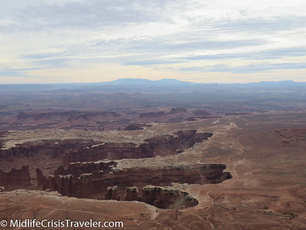
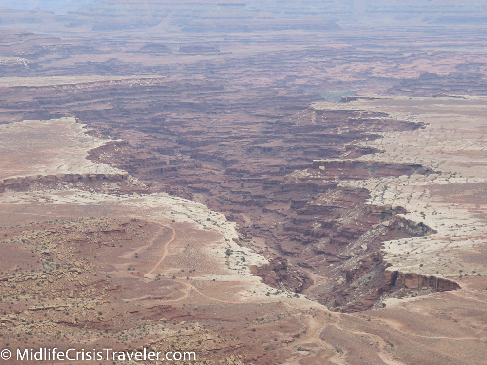
Canyonlands not only reveals one drop in depth but multiple drops.  It’s a canyon within a canyon.  Visitors are given the choice to peer over the edge from vantage points along Grand View Point Road down at the canyons or drive around the park on the White Rim Road which requires a four-wheel drive vehicle.  The White Rim Road is 100 miles long and the park service recommends that you take two days to complete it.   

Canyonlands North-16.jpg
Canyonlands North-17.jpg
Canyonlands North-18.jpg
Canyonlands North-19.jpg

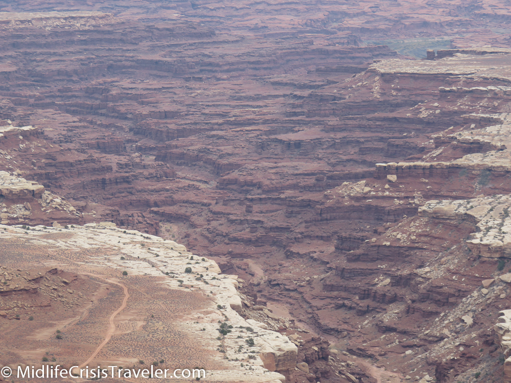
The canyon reveals levels of erosion from the last 320 million years or so.  Multiple colors and structure of rock have been carved from water and wind.  The Colorado and Green rivers both cut through this park and meet further south of Grand View Point. 

Canyonlands North-21.jpg
Canyonlands North-22.jpg
Canyonlands North-24.jpg
Canyonlands North-25.jpg
Canyonlands North-26.jpg
Canyonlands North-27.jpg
Canyonlands North-28.jpg
Canyonlands North-30.jpg
Canyonlands North-31.jpg
Canyonlands North-32.jpg

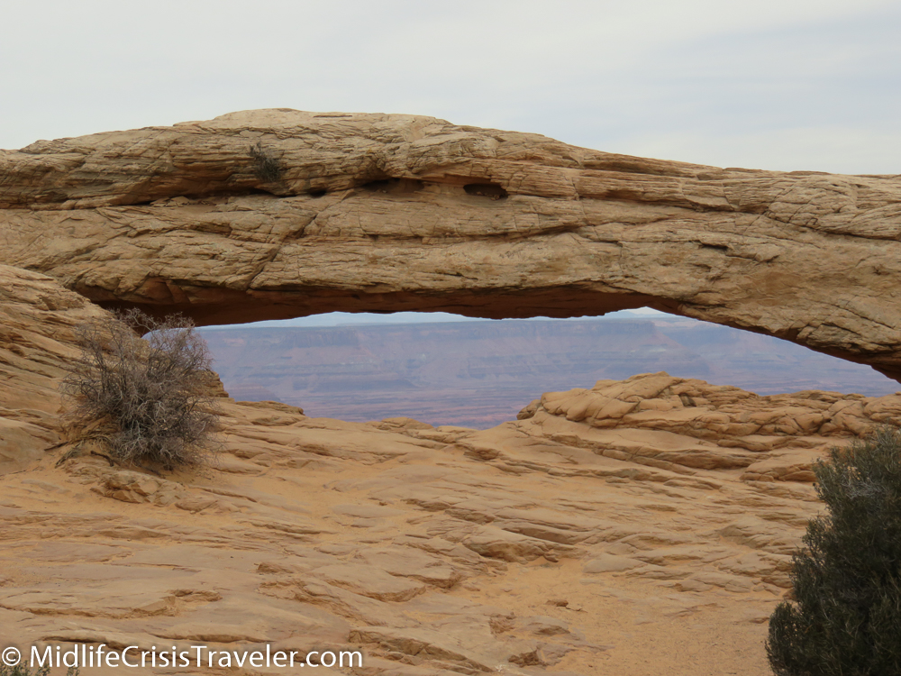
Mesa Arch is one of the most famous places to photograph the sunrise.  Alas, the clouds have spoiled this luxury today.  The arch still holds its value as a scenic wonder.  Its precarious perch defies gravity for now.  Sometime in the next billion years it may face its ultimate demise. 

Canyonlands North-35.jpg
Canyonlands North-36.jpg
Canyonlands North-37.jpg
Canyonlands North-38.jpg
Canyonlands North-40.jpg
Canyonlands North-41.jpg
Canyonlands North-44.jpg
Canyonlands North-45.jpg
Canyonlands North-54.jpg
Canyonlands North-47.jpg
Canyonlands North-48.jpg
Canyonlands North-52.jpg
Canyonlands North-51.jpg
Canyonlands North-53.jpg

Climbing near-vertical mountains isn’t easy so a series of switchbacks allows vehicles to slowly inch their way to the top safely.  It is imperative to maintain attention to the road as guardrails and barriers are nowhere to be found.  This is the wild where only the strong and smart survive. 

Canyonlands North-58.jpg
Canyonlands North-59.jpg
Canyonlands North-61.jpg
Canyonlands North-62.jpg
Canyonlands North-63.jpg
Canyonlands North-68.jpg
Canyonlands North-66.jpg
Canyonlands North-65.jpg

For more information about Canyonlands National Park, click the link below.

https://www.nps.gov/cany/index.htm

Have you visited Canyonlands National Park?  What was your experience like?