Bryce Canyon National Park: The Navajo Loop Trail

I visited Bryce Canyon multiple times from November through April.  It is a beautiful park and it is in an excellent location to visit multiple parks within a couple hours drive time.  

Bryce Canyon NP Navajo Loop-1.jpg
Bryce Canyon NP Navajo Loop-2.jpg
Bryce Canyon NP Navajo Loop-3.jpg
Bryce Canyon NP Navajo Loop-4.jpg
Bryce Canyon NP Navajo Loop-5.jpg
Bryce Canyon NP Navajo Loop-6.jpg

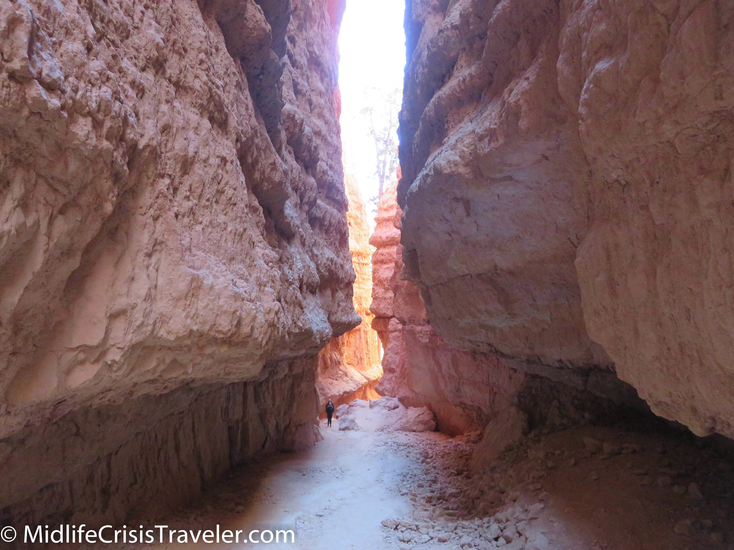
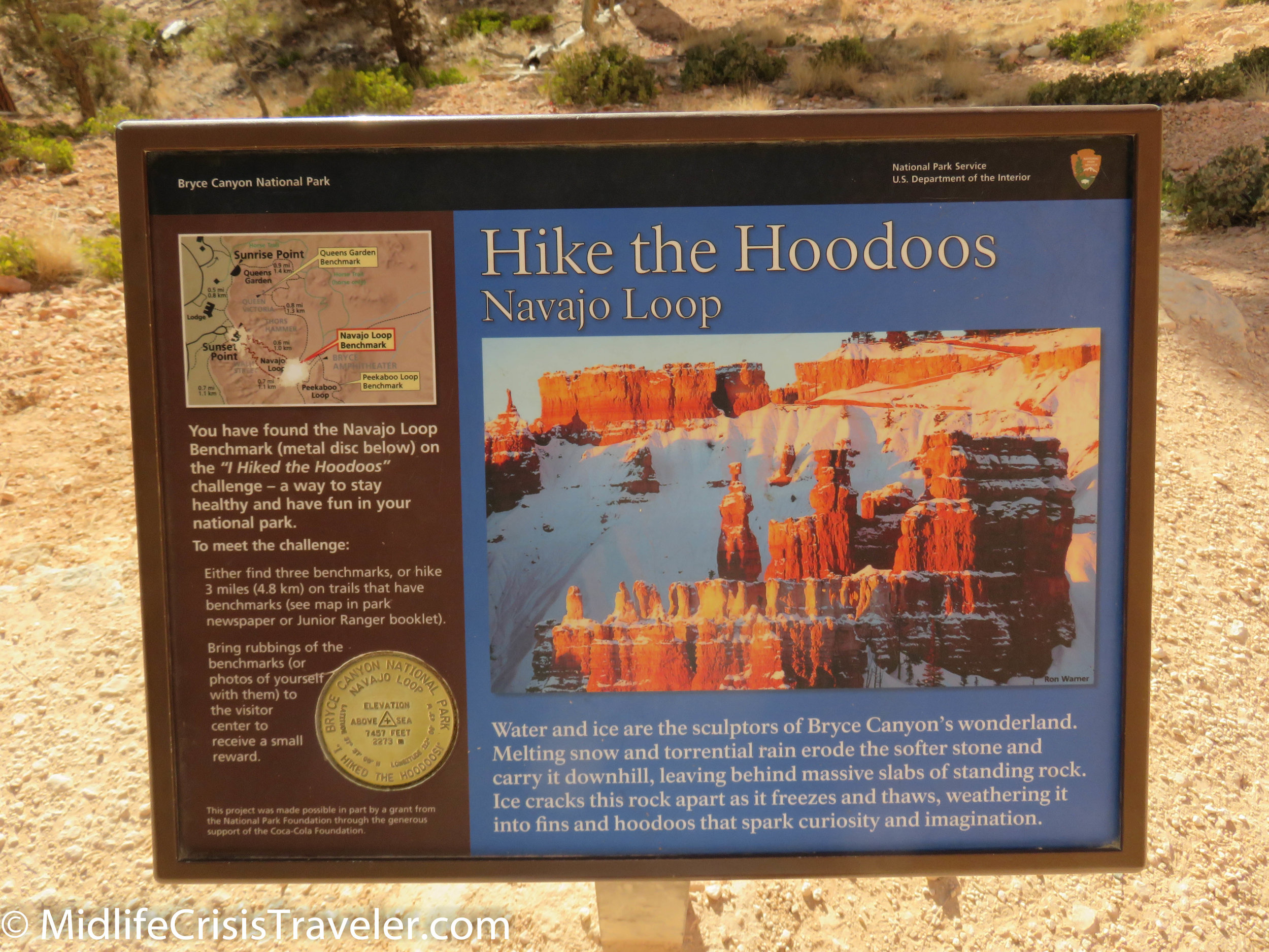
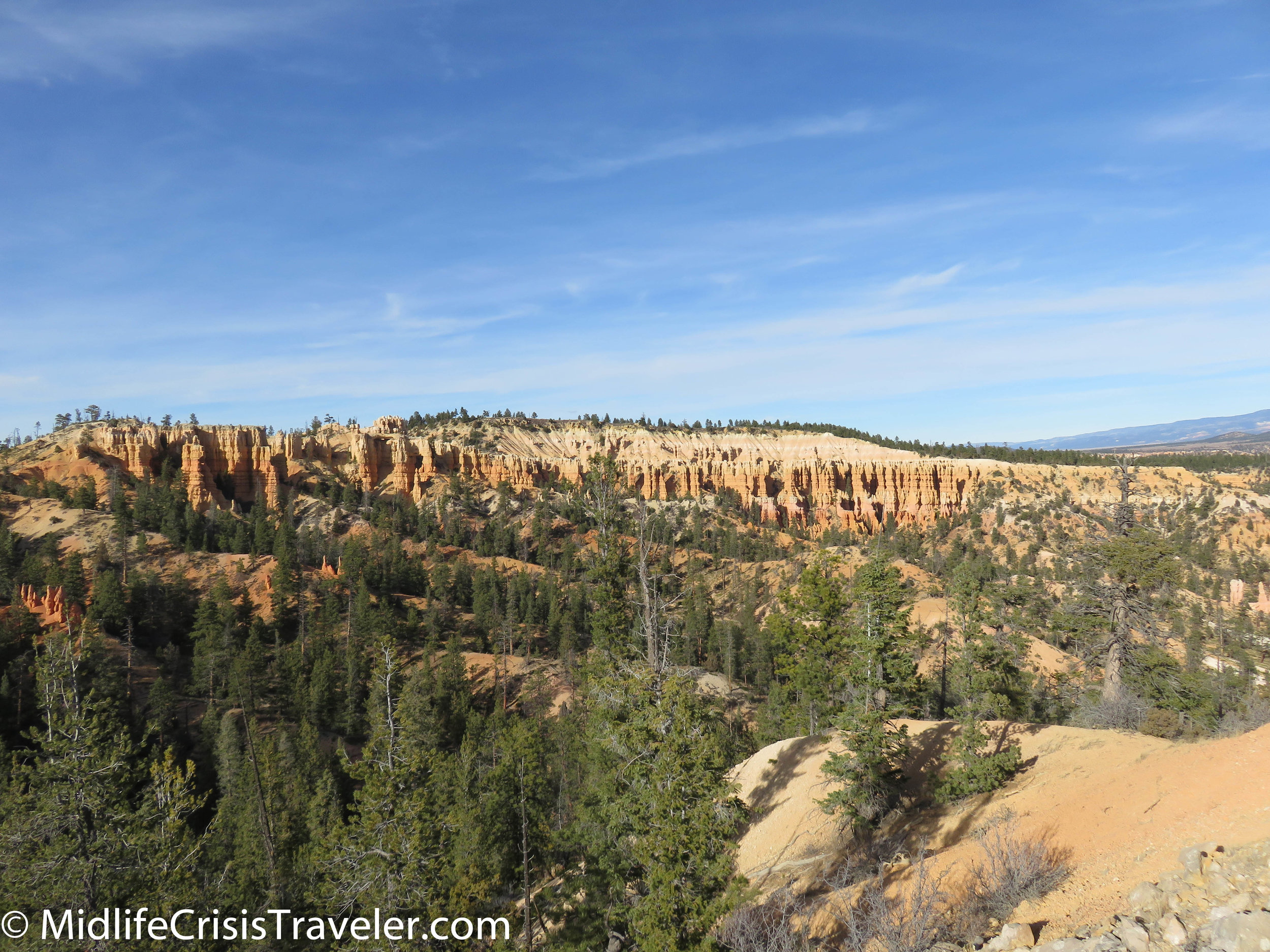
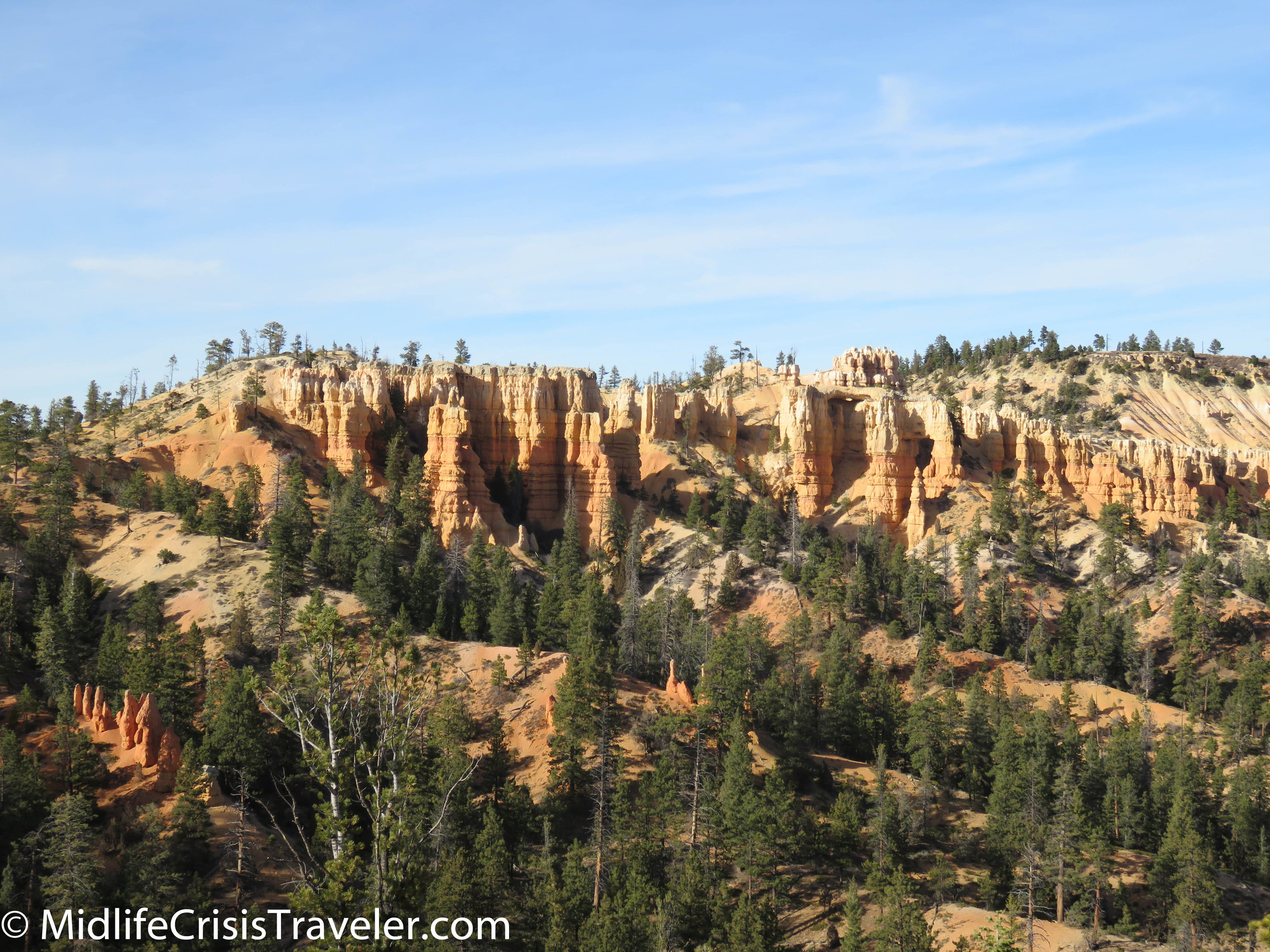
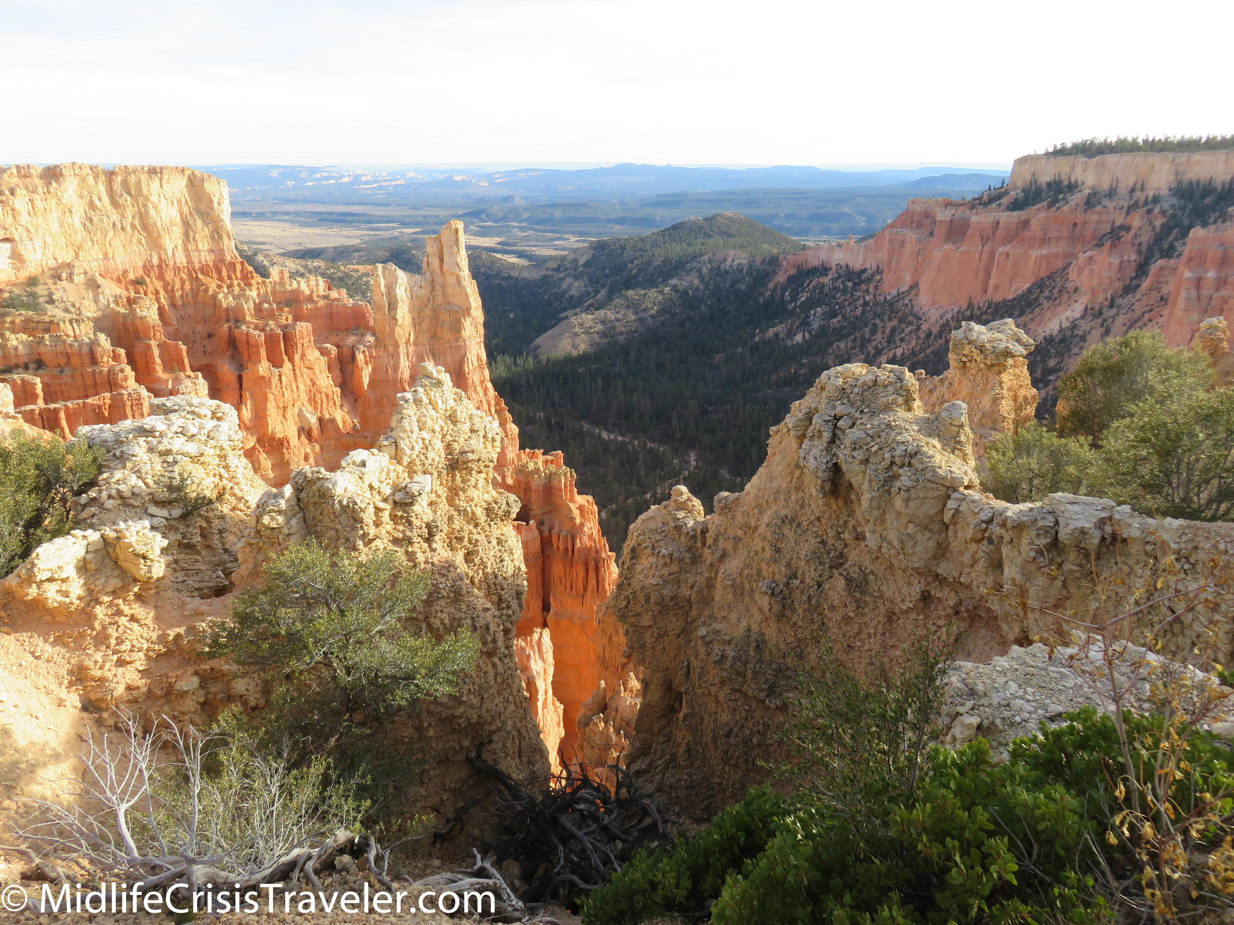
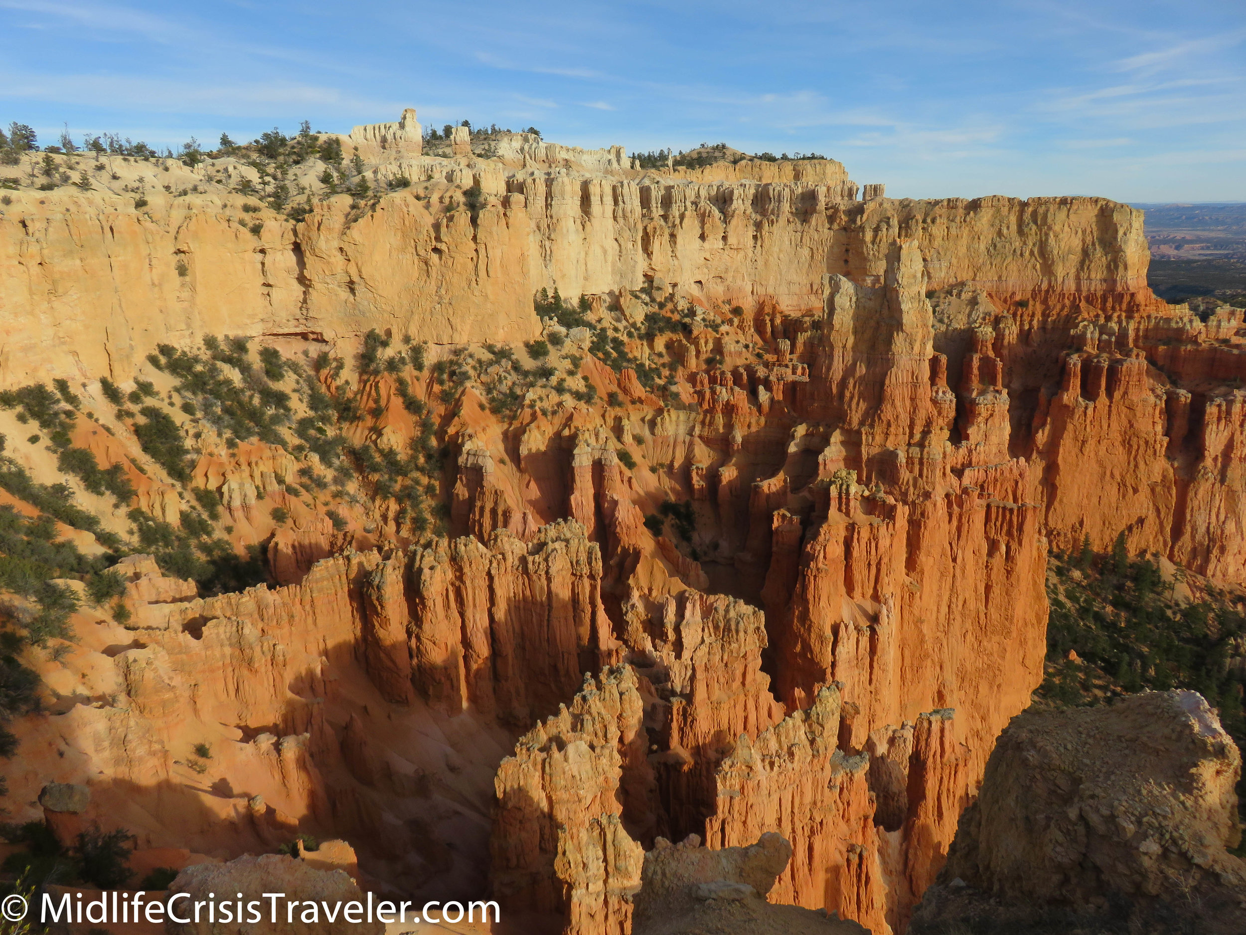
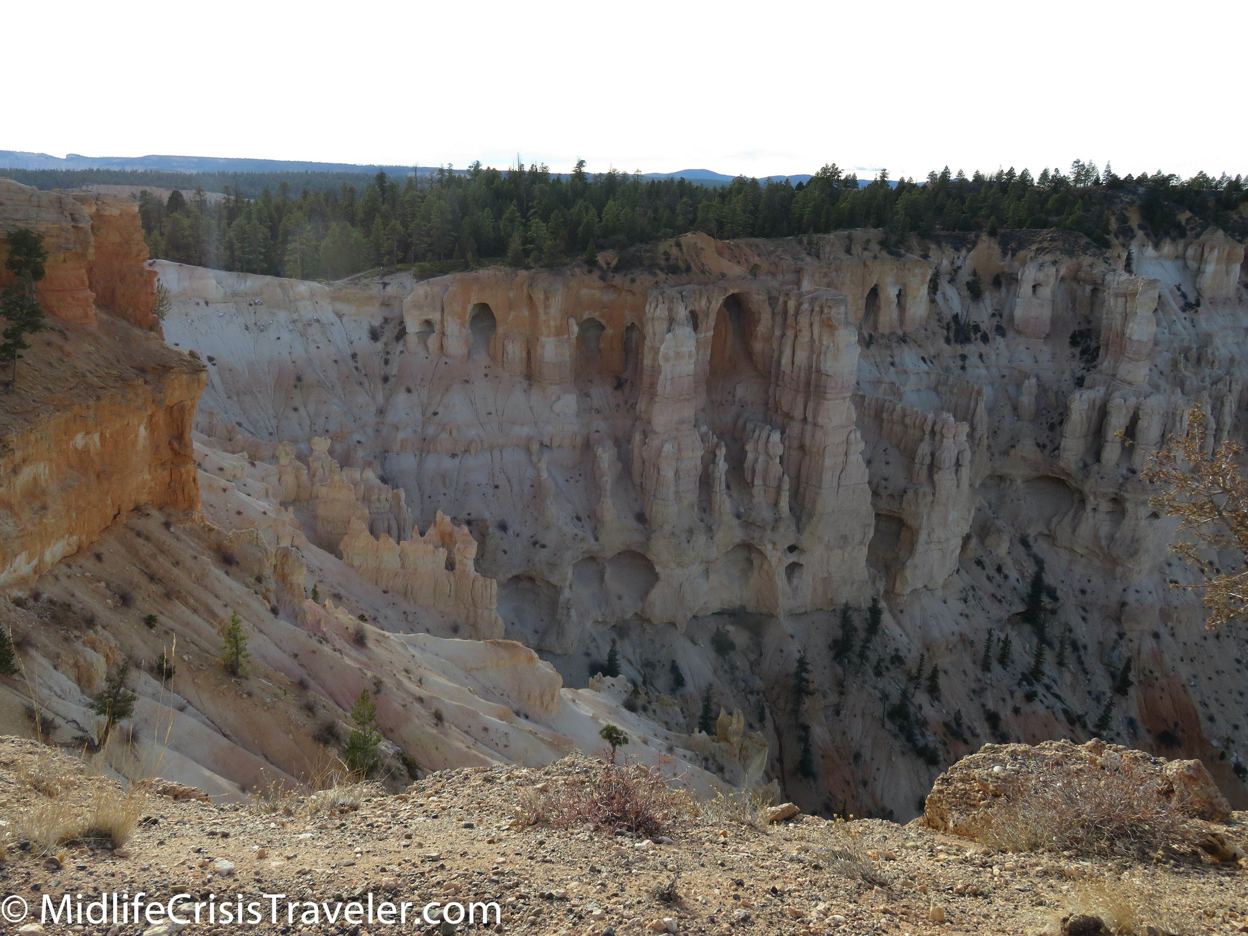
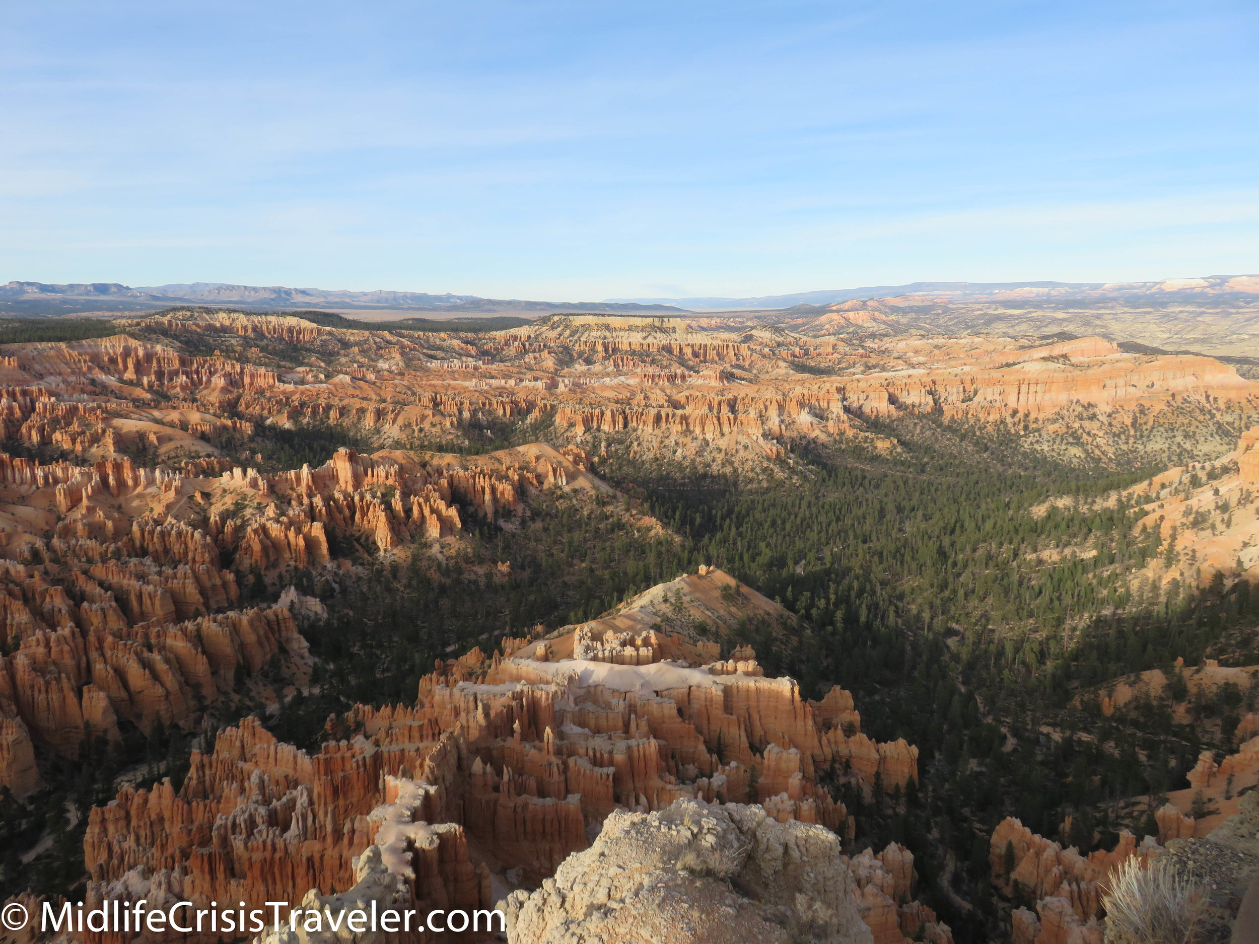
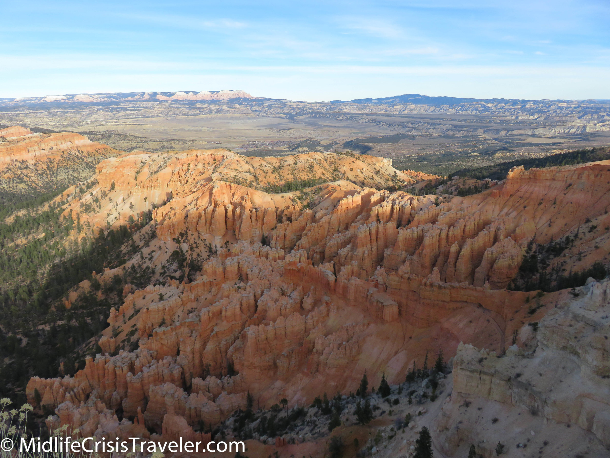
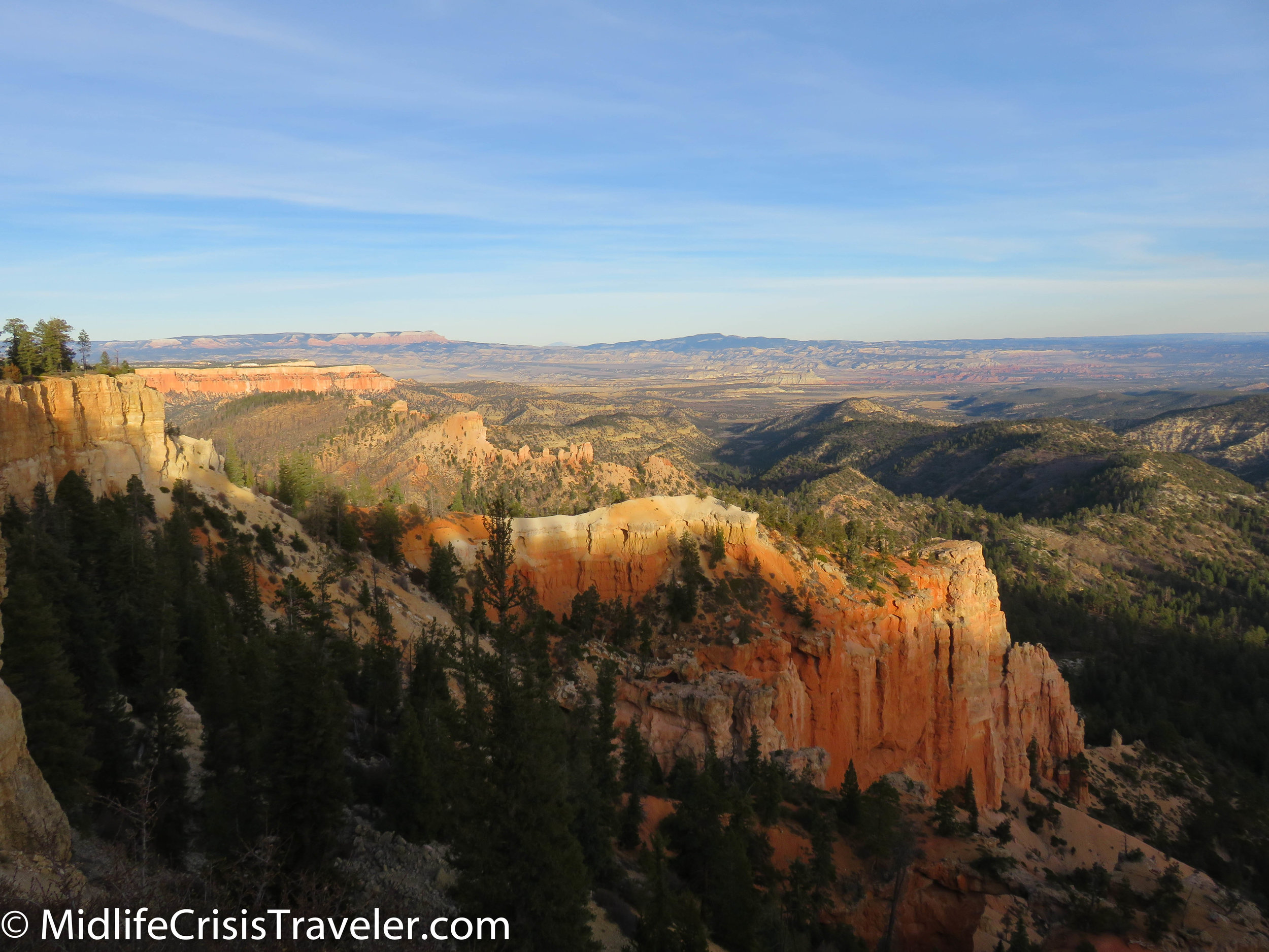
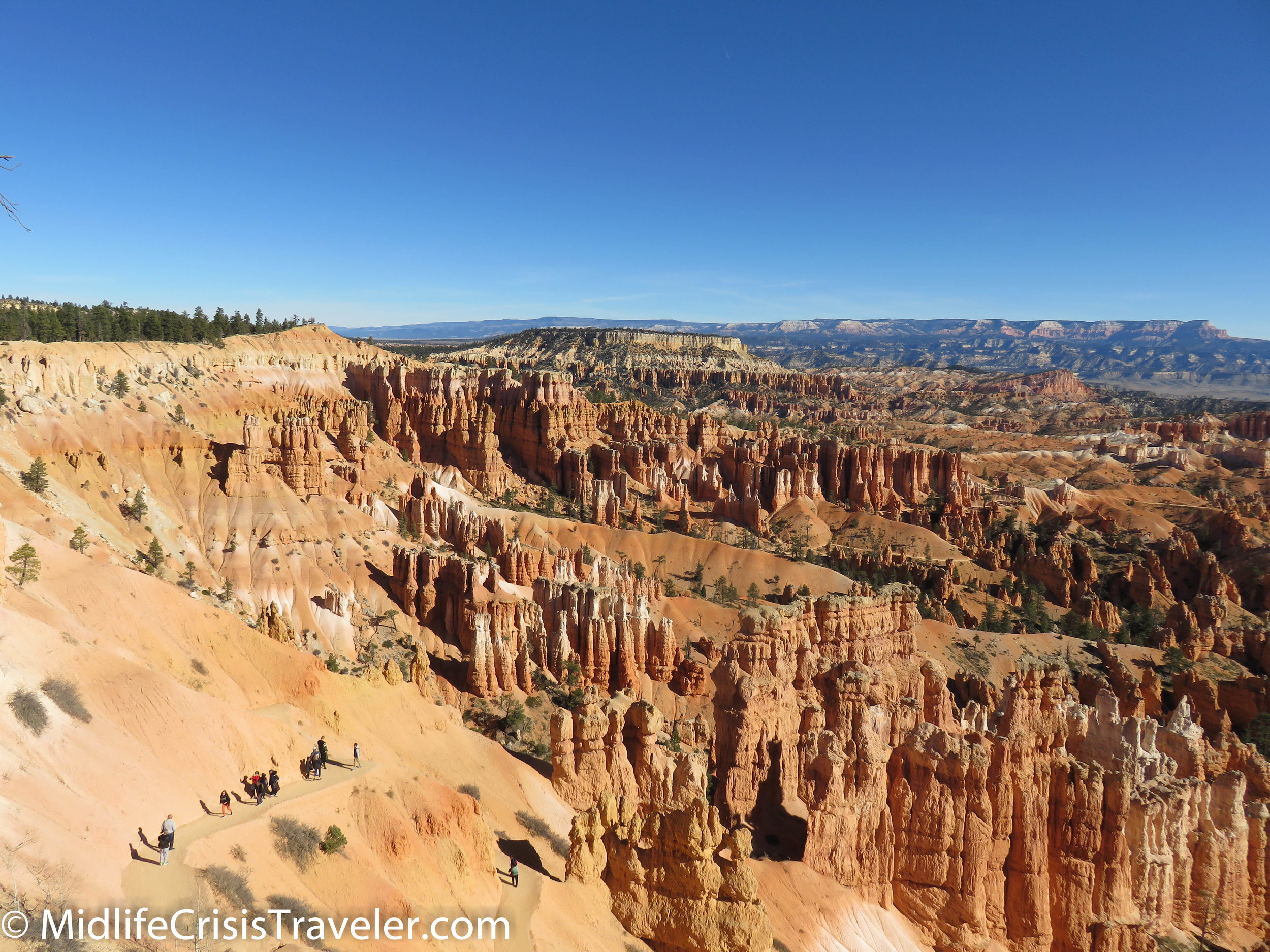
Sunset Point is the center of the universe at Bryce Canyon National Park.  The panoramic view of the park is a photographer’s paradise.  If you head to your left, you can take the Rim Trail to Sunrise Point.  From there, you can continue to the Fairyland Loop Trail or the Queens Garden Trail which take you deep into Hoodoo country.  A shorter and easier trail which provides a healthy dose of Hoodoos is the Navajo Loop Trail.  This trail heads off to the right of Sunset Point and allows you an up close and personal experience that you can’t get from the pedestrian viewing areas next to the parking lots. 

Bryce Canyon NP Navajo Loop-7.jpg
Bryce Canyon NP Navajo Loop-9.jpg
Bryce Canyon NP Navajo Loop-11.jpg
Bryce Canyon NP Navajo Loop-12.jpg
Bryce Canyon NP Navajo Loop-14.jpg

Bearing to your right, the trail will allow you to stroll next to Hoodoos via a series of switchbacks down to the bottom.  The trail is flat and well-maintained but the decline of this trail measures 550 feet so it is not necessarily easy if you aren’t used to walking at 8000-foot elevation.  It is important that you are careful when traversing the switchbacks.  Although they are a smooth surface, there are no railings or barriers to prevent you from falling over the edge. 

Bryce Canyon NP Navajo Loop-15.jpg
Bryce Canyon NP Navajo Loop-17.jpg
Bryce Canyon NP Navajo Loop-19.jpg
Bryce Canyon NP Navajo Loop-20.jpg
Bryce Canyon NP Navajo Loop-24.jpg
Bryce Canyon NP Navajo Loop-31.jpg
Bryce Canyon NP Navajo Loop-35.jpg
Bryce Canyon NP Navajo Loop-36.jpg

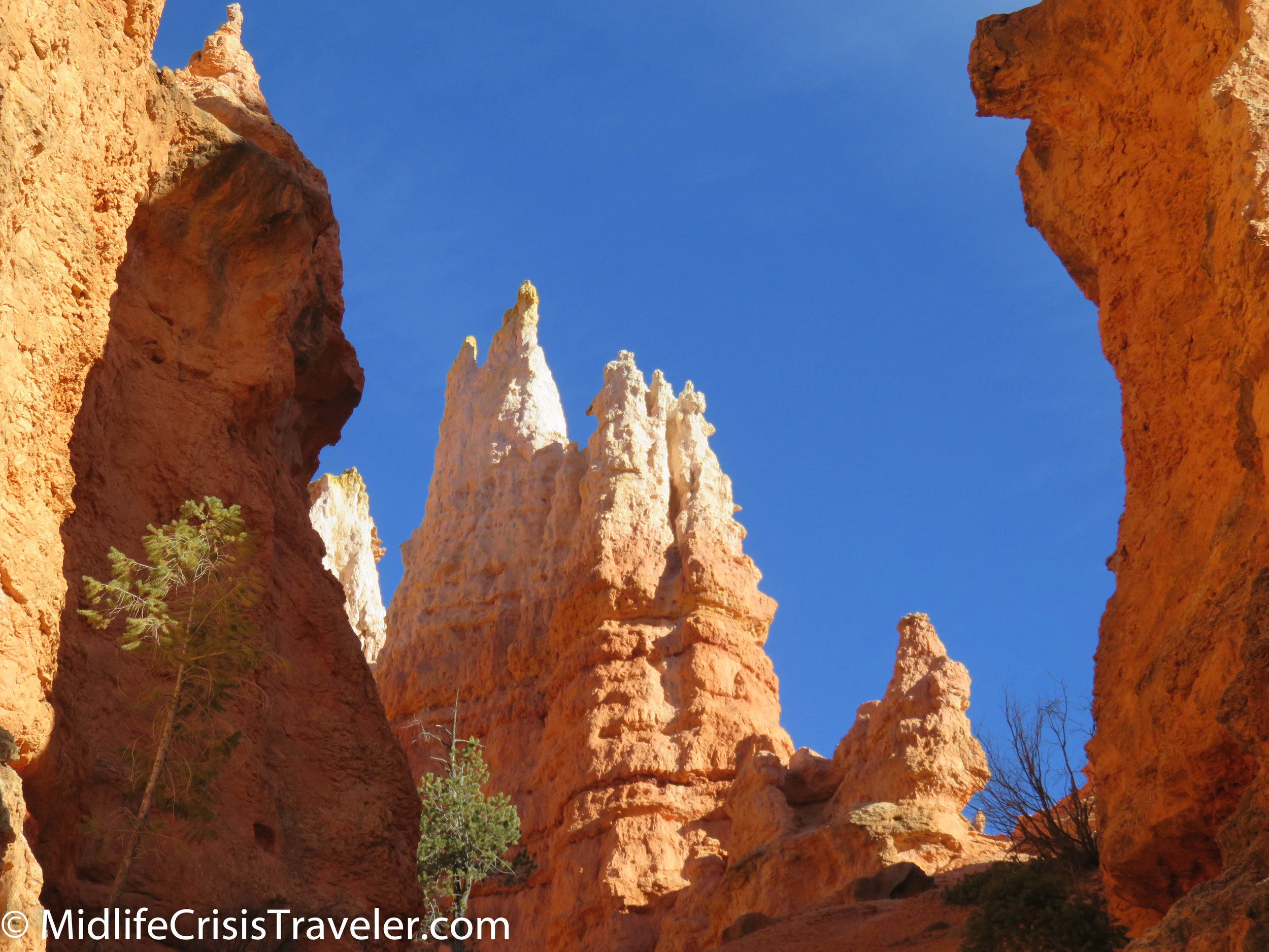
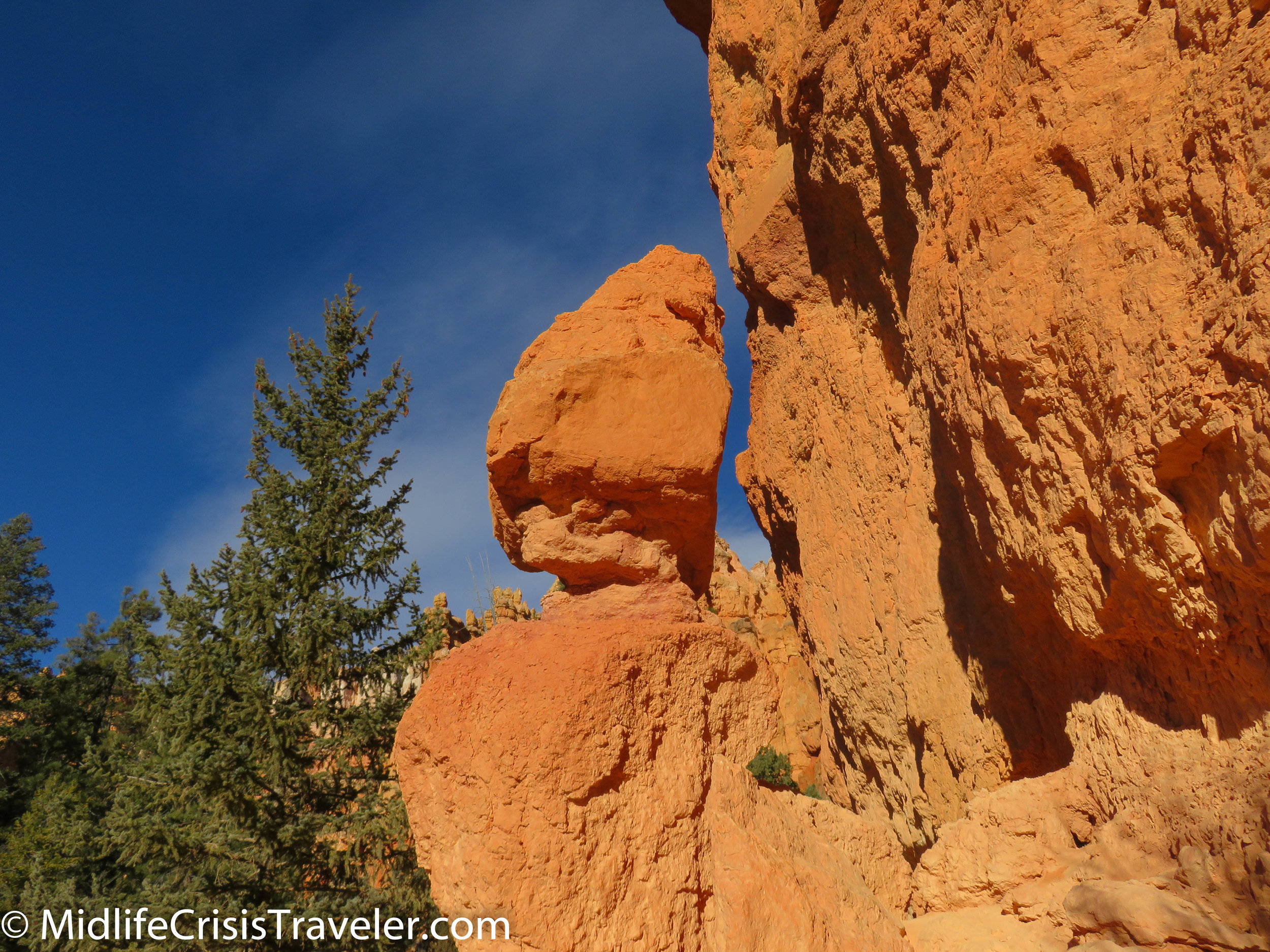
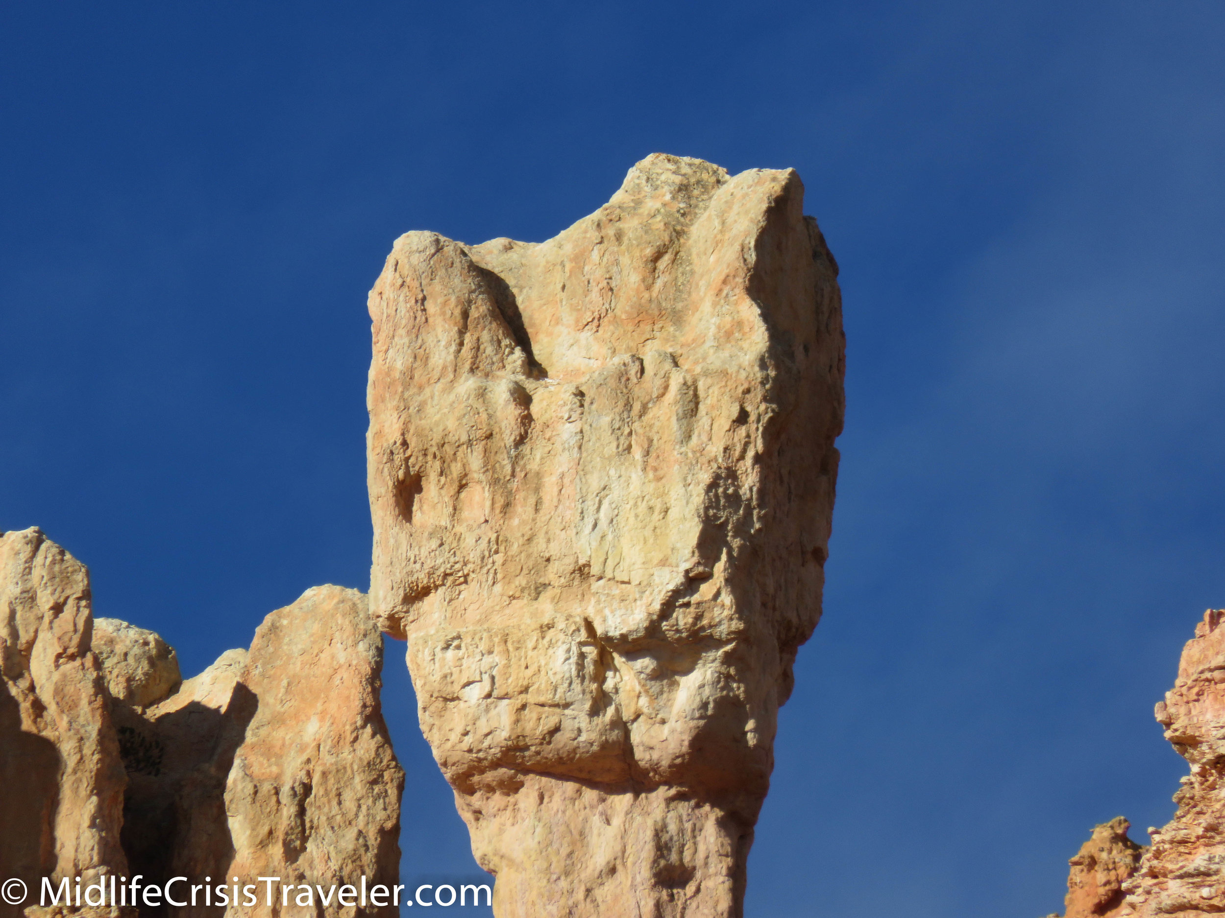
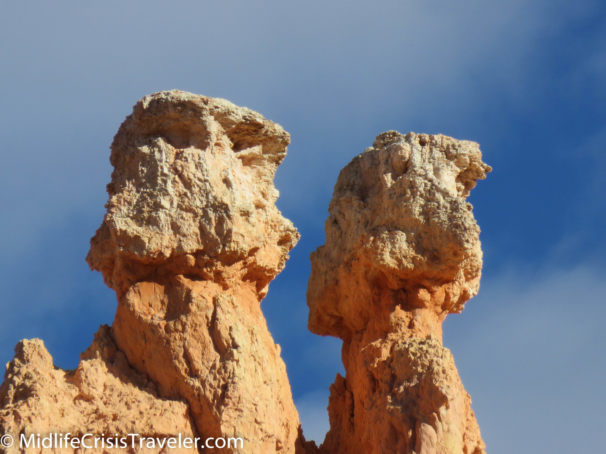
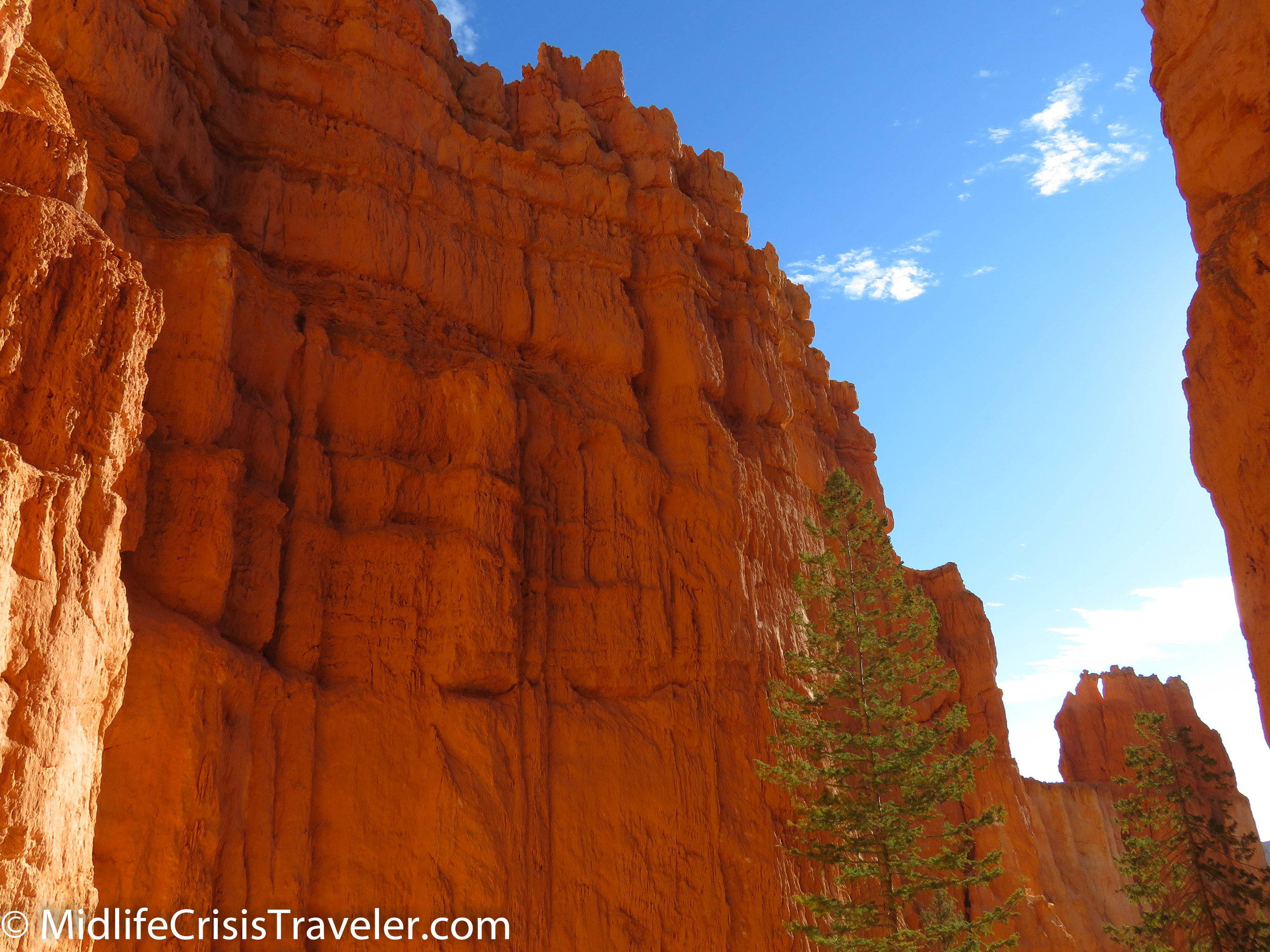
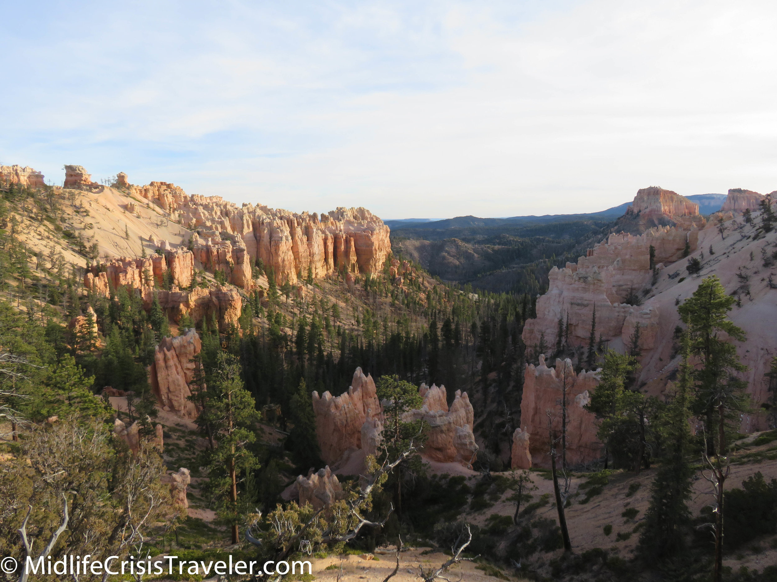
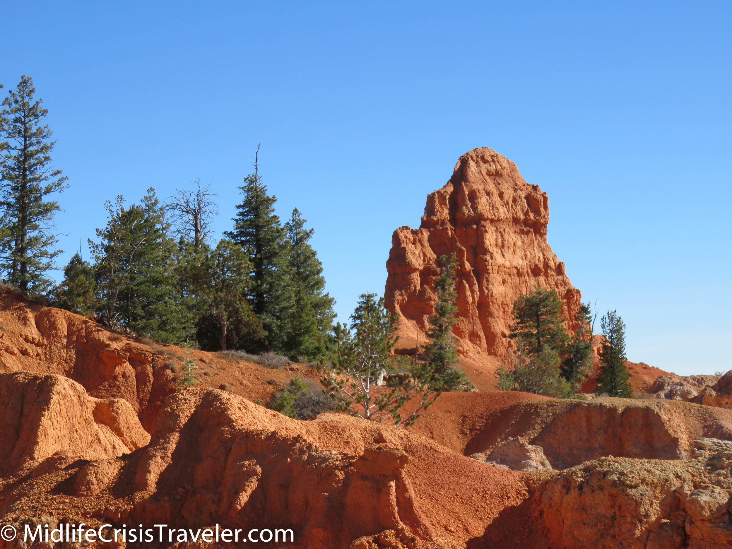
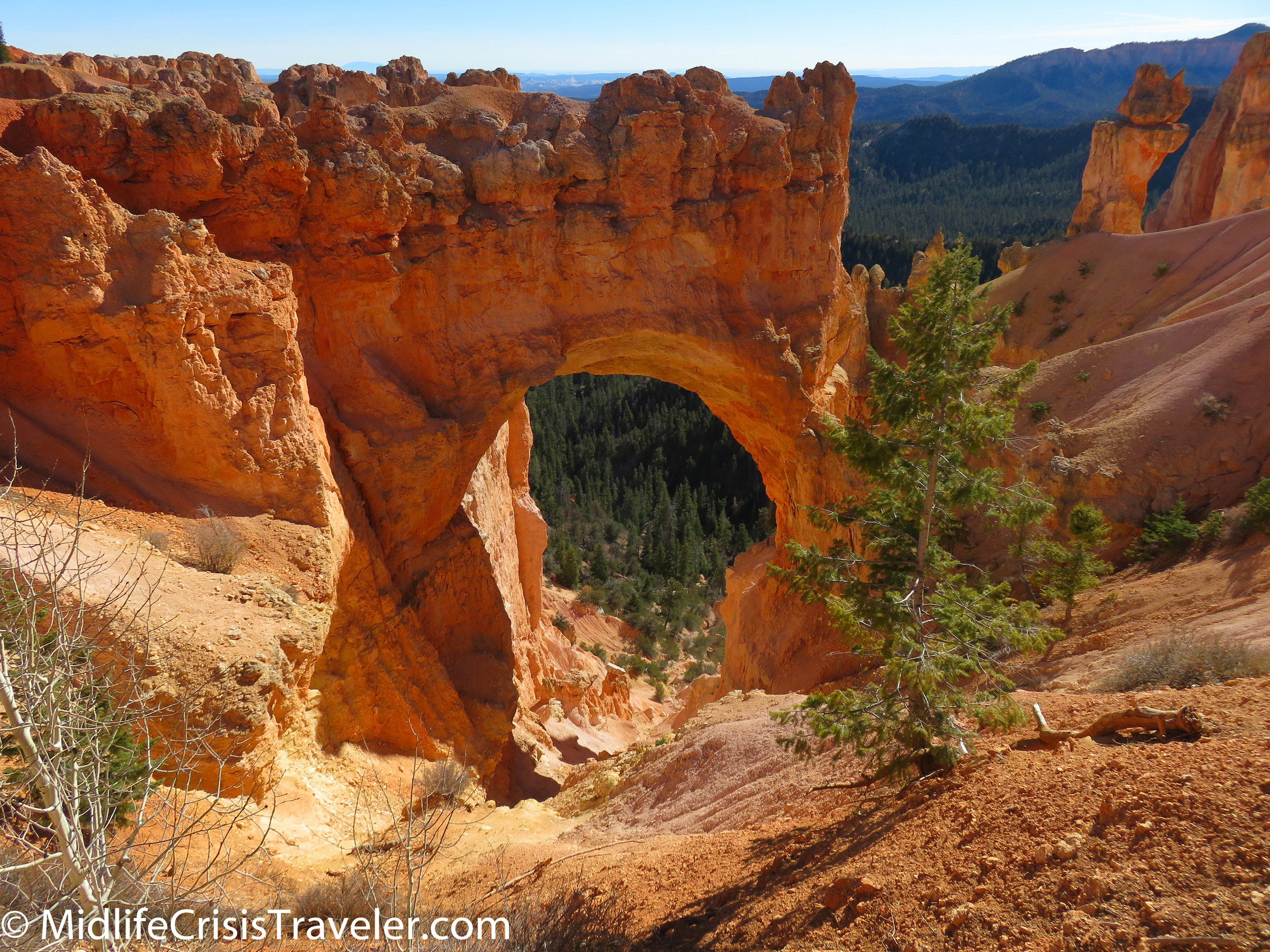
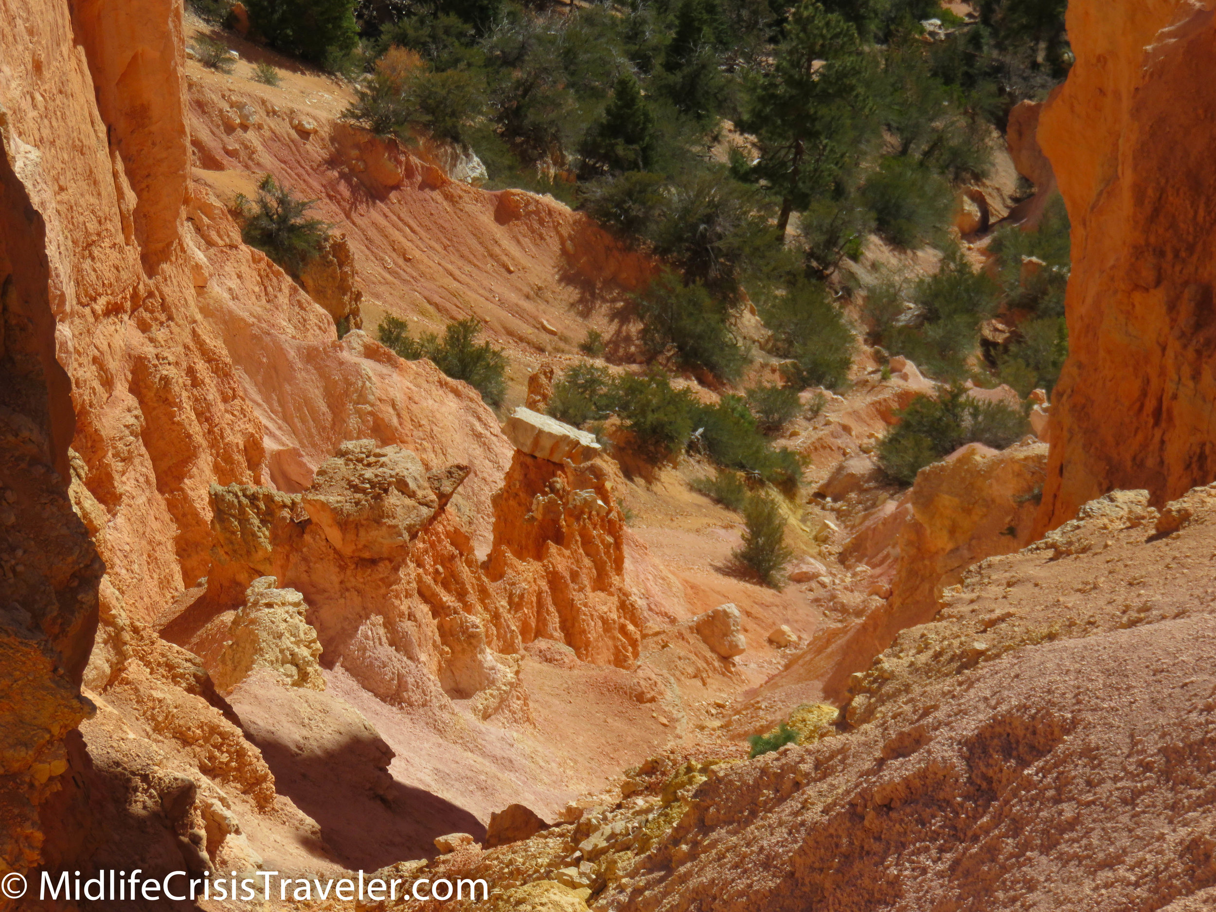
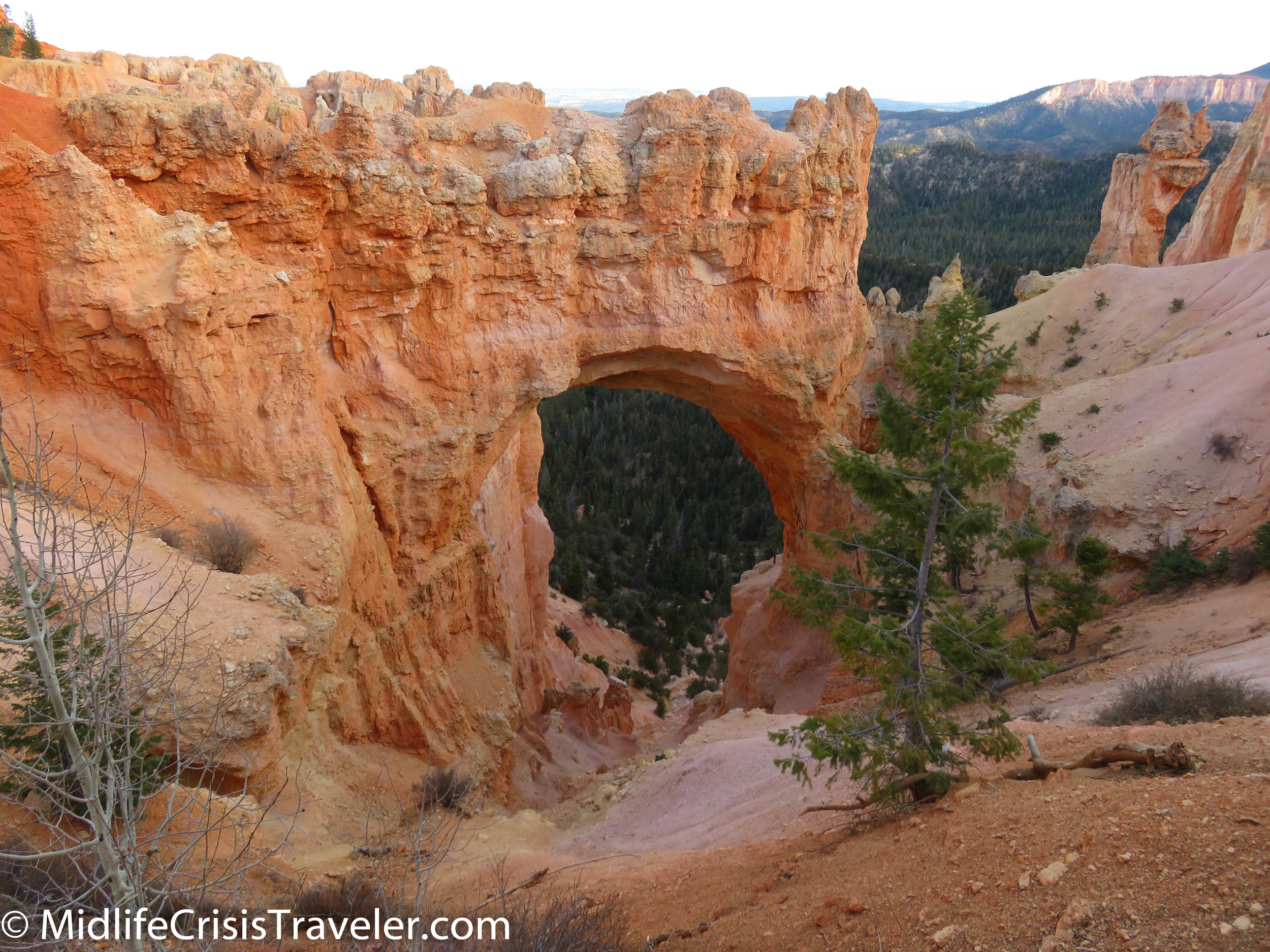
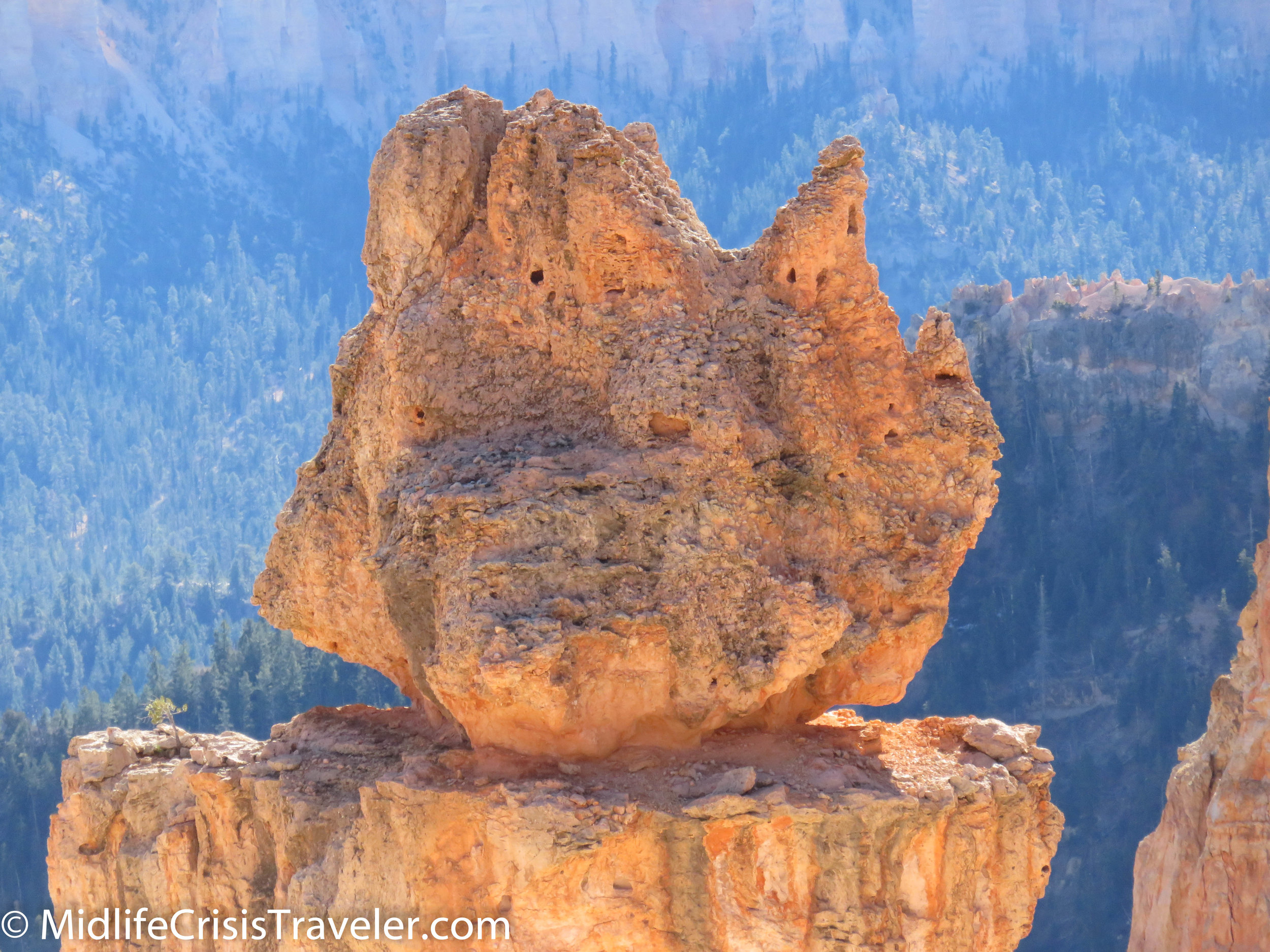
The trail is 1.3 miles and offers an upward view of the landscape. Being below these structures and seeing the orange flavor of the sandstone against the blue sky and puffy white clouds offers a completely different perspective.  They are rightly perched on pedestals for us to pay homage.  The trail features boulders perched on high, trees growing in less than perfect locations and curious rock formations that have defied erosion. 

Bryce Canyon NP Navajo Loop-37.jpg
Bryce Canyon NP Navajo Loop-38.jpg
Bryce Canyon NP Navajo Loop-40.jpg
Bryce Canyon NP Navajo Loop-42.jpg
Bryce Canyon NP Navajo Loop-43.jpg
Bryce Canyon NP Navajo Loop-45.jpg
Bryce Canyon NP Navajo Loop-49.jpg
Bryce Canyon NP Navajo Loop-51.jpg
Bryce Canyon NP Navajo Loop-53.jpg
Bryce Canyon NP Navajo Loop-54.jpg
Bryce Canyon NP Navajo Loop-59.jpg
Bryce Canyon NP Navajo Loop-60.jpg
Bryce Canyon NP Navajo Loop-61.jpg
Bryce Canyon NP Navajo Loop-64.jpg
Bryce Canyon NP Navajo Loop-65.jpg

At the bottom, you are awed by the majesty and sheer will of these formations which have withstood the test of The Big 3: climate, weather and time.  They stand proudly as a reminder of the past and a stubbornness towards the future.  They are defying The Big 3 as long as possible.  Someday, they will all have crumbled and humans will have nothing but memories and pictures of their grandeur. 

Bryce Canyon NP Navajo Loop-67.jpg
Bryce Canyon NP Navajo Loop-68.jpg
Bryce Canyon NP Navajo Loop-69.jpg
Bryce Canyon NP Navajo Loop-74.jpg
Bryce Canyon NP Navajo Loop-77.jpg
Bryce Canyon NP Navajo Loop-79.jpg
Bryce Canyon NP Navajo Loop-82.jpg
Bryce Canyon NP Navajo Loop-86.jpg
Bryce Canyon NP Navajo Loop-88.jpg
Bryce Canyon NP Navajo Loop-91.jpg
Bryce Canyon NP Navajo Loop-93.jpg

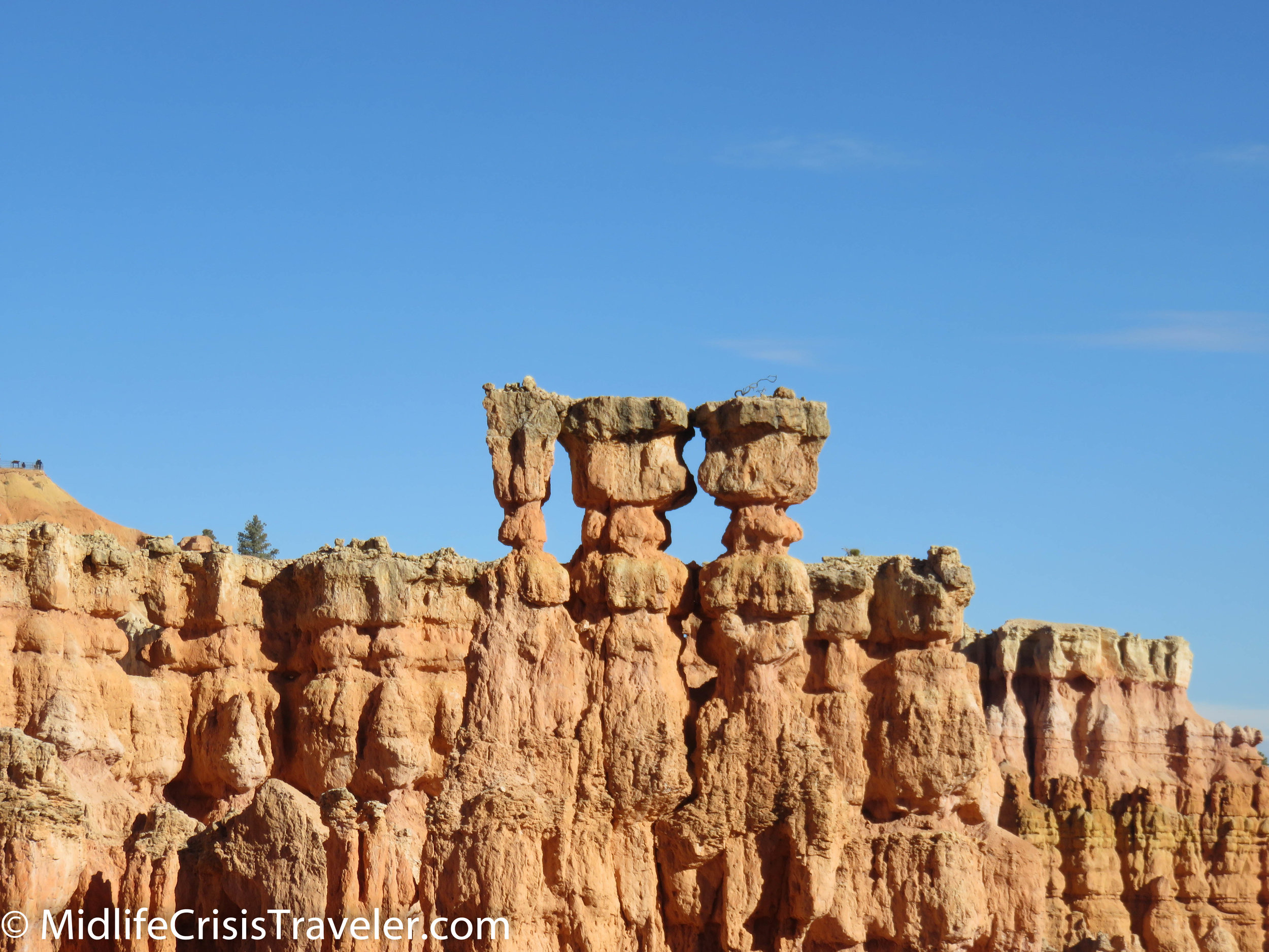
The picture above has two stone structures that look like bridges, hence the name Two Bridges.  Can you see both of them linking the two walls of the trail?

Bryce Canyon NP Navajo Loop-94.jpg
Bryce Canyon NP Navajo Loop-99.jpg
Bryce Canyon NP Navajo Loop-101.jpg
Bryce Canyon NP Navajo Loop-106.jpg
Bryce Canyon NP Navajo Loop-109.jpg
Bryce Canyon NP Navajo Loop-111.jpg
Bryce Canyon NP Navajo Loop-112.jpg
Bryce Canyon NP Navajo Loop-115.jpg
Bryce Canyon NP Navajo Loop-118.jpg

When you visit Bryce Canyon, I encourage you to walk this trail.  Take your time and enjoy the unique views and characteristics of this park.  Be safe and feel the impressiveness of the history of this land.  Imagine if you were the first person to see it this way.  How would you feel?  What thoughts would you have?  

Bryce Canyon NP Navajo Loop-119.jpg
Bryce Canyon NP Navajo Loop-120.jpg
Bryce Canyon NP Navajo Loop-123.jpg
Bryce Canyon NP Navajo Loop-124.jpg
Bryce Canyon NP Navajo Loop-125.jpg
Bryce Canyon NP Navajo Loop-126.jpg
Bryce Canyon NP Navajo Loop-128.jpg
Bryce Canyon NP Navajo Loop-130.jpg
Bryce Canyon NP Navajo Loop-132.jpg
Bryce Canyon NP Navajo Loop-135.jpg
Bryce Canyon NP Navajo Loop-137.jpg

Have you visited Bryce Canyon National Park?  What was your experience like?  Please share your thoughts with us.

For more information about Bryce Canyon NP, click the link below.

Bryce Canyon National Park (U.S. National Park Service) (nps.gov)
Bryce Canyon National Park: Woohoo for Hoodoos

Mossy Cave

Before we get deep into the heart of Bryce Canyon National Park, there is a small area down the road from Bryce Canyon proper called Mossy Cave.  If you drive about 3 miles east from the intersection of Routes 12 and 63, you will happen upon a small parking lot on the right.  Don’t skip past this quaint corner of Bryce Canyon.  This slice of the canyon is an easy way to get up close and personal with the Hoodoos that capture everyone’s fascination.  Hoodoos, pine trees and a small waterfall await your arrival.  This is an appetizer of what is to come. 

Bryce Canyon NP-1.jpg
Bryce Canyon NP-4.jpg
Bryce Canyon NP-2.jpg
Bryce Canyon NP-3.jpg
Bryce Canyon NP-5.jpg
Bryce Canyon NP-6.jpg
Bryce Canyon NP-7.jpg
Bryce Canyon NP-8.jpg
Bryce Canyon NP-9.jpg
Bryce Canyon NP-10.jpg

The next two pictures are of the surrounding area.

Bryce Canyon NP-11.jpg
Bryce Canyon NP-12.jpg

What is a Hoodoo?

Here is part of the description from the National Parks website:

https://www.nps.gov/brca/learn/nature/hoodoos.htm

General Description:

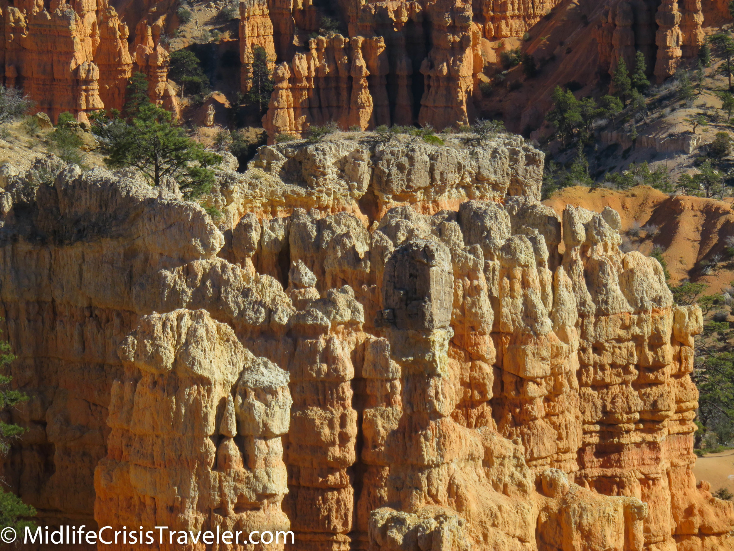
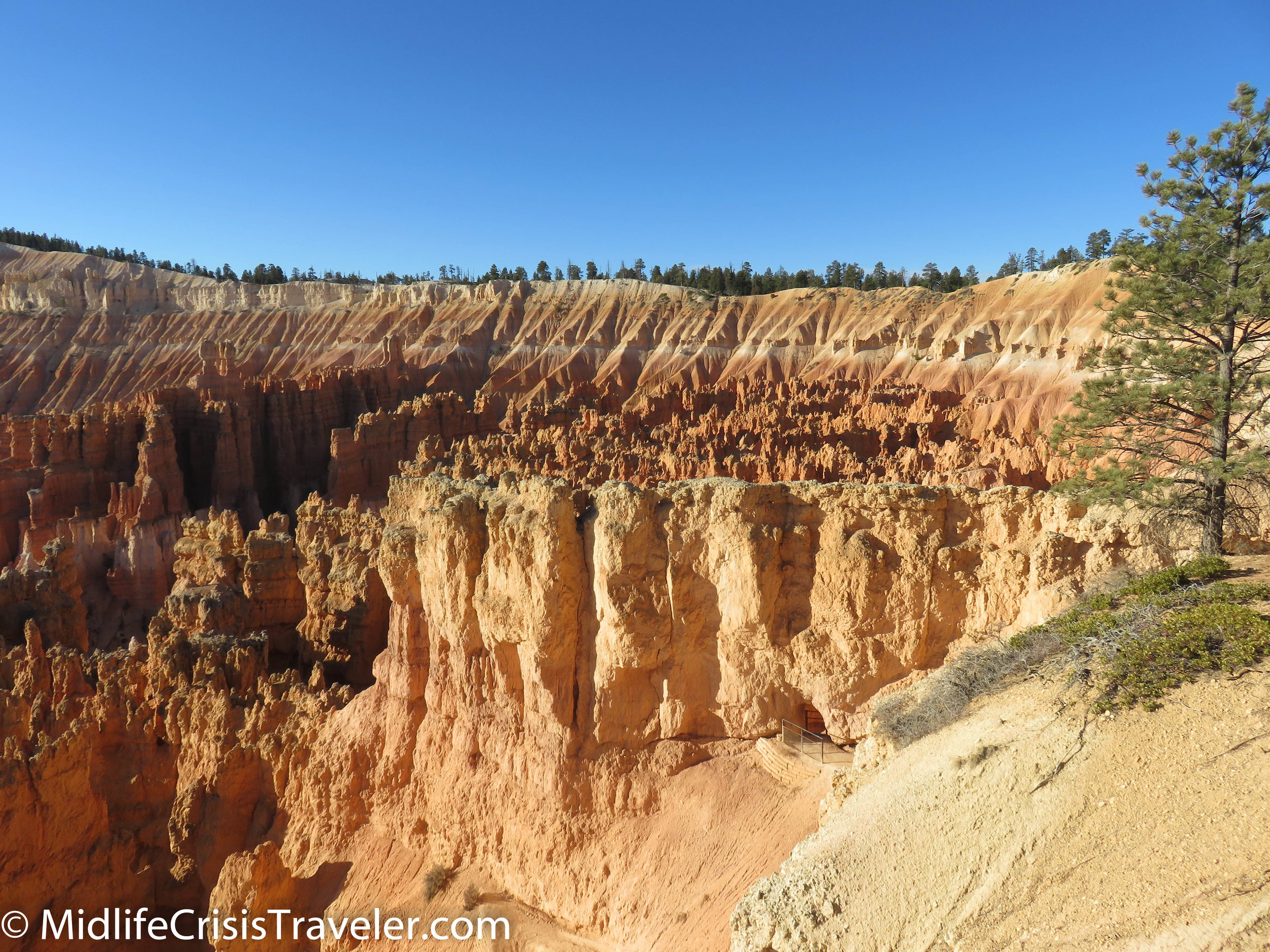
Hoodoos are tall skinny spires of rock that protrude from the bottom of arid basins and "broken" lands.  At Bryce Canyon, hoodoos range in size from that of an average human to heights exceeding a 10-story building. Formed in sedimentary rock, hoodoo shapes are affected by the erosional patterns of alternating hard and softer rock layers. The name given to the rock layer that forms hoodoos at Bryce Canyon is the Claron Formation. This layer has several rock types including siltstones and mudstones but is predominantly limestone. Thirty to 40 million years ago this rock was "born" in an ancient lake that covered much of Western Utah. Minerals deposited within different rock types cause hoodoos to have different colors throughout their height.

Bryce Canyon NP-14.jpg
Bryce Canyon NP-13.jpg
Bryce Canyon NP-16.jpg
Bryce Canyon NP-17.jpg
Bryce Canyon NP-18.jpg
Bryce Canyon NP-19.jpg
Bryce Canyon NP-20.jpg
Bryce Canyon NP-21.jpg
Bryce Canyon NP-22.jpg
Bryce Canyon NP-23.jpg
Bryce Canyon NP-24.jpg
Bryce Canyon NP-25.jpg
Bryce Canyon NP-26.jpg
Bryce Canyon NP-27.jpg
Bryce Canyon NP-28.jpg
Bryce Canyon NP-30.jpg
Bryce Canyon NP-31.jpg
Bryce Canyon NP-32.jpg
Bryce Canyon NP-33.jpg
Bryce Canyon NP-34.jpg
Bryce Canyon NP-35.jpg
Bryce Canyon NP-36.jpg
Bryce Canyon NP-37.jpg
Bryce Canyon NP-38.jpg
Bryce Canyon NP-39.jpg
Bryce Canyon NP-40.jpg
Bryce Canyon NP-41.jpg
Bryce Canyon NP-42.jpg
Bryce Canyon NP-43.jpg
Bryce Canyon NP-44.jpg
Bryce Canyon NP-45.jpg
Bryce Canyon NP-46.jpg
Bryce Canyon NP-105.jpg
Bryce Canyon NP-99.jpg
Bryce Canyon NP-107.jpg
Bryce Canyon NP-108.jpg
Bryce Canyon NP-50.jpg
Bryce Canyon NP-100.jpg
Bryce Canyon NP-101.jpg
Bryce Canyon NP-102.jpg

Formational Process:

Hoodoos are formed by two weathering processes that continuously work together in eroding the edges of the Paunsaugunt Plateau. The primary weathering force at Bryce Canyon is frost wedging. Here we experience over 200 freeze/thaw cycles each year. In the winter, melting snow, in the form of water, seeps into the cracks and freezes at night. When water freezes it expands by almost 10%, bit by bit prying open cracks, making them ever wider in the same way a pothole forms in a paved road.

Rain is also the chief source of erosion (the actual removal of the debris). In the summer, monsoon type rainstorms travel through the Bryce Canyon region bringing short duration high intensity rain.

Bryce Canyon NP-51.jpg
Bryce Canyon NP-55.jpg
Bryce Canyon NP-56.jpg
Bryce Canyon NP-57.jpg
Bryce Canyon NP-58.jpg
Bryce Canyon NP-59.jpg
Bryce Canyon NP-60.jpg
Bryce Canyon NP-61.jpg
Bryce Canyon NP-62.jpg
Bryce Canyon NP-63.jpg
Bryce Canyon NP-64.jpg
Bryce Canyon NP-65.jpg
Bryce Canyon NP-66.jpg
Bryce Canyon NP-67.jpg
Bryce Canyon NP-68.jpg
Bryce Canyon NP-83.jpg
Bryce Canyon NP-84.jpg
Bryce Canyon NP-85.jpg
Bryce Canyon NP-86.jpg
Bryce Canyon NP-87.jpg
Bryce Canyon NP-88.jpg
Bryce Canyon NP-89.jpg
Bryce Canyon NP-90.jpg
Bryce Canyon NP-91.jpg
Bryce Canyon NP-92.jpg
Bryce Canyon NP-94.jpg
Bryce Canyon NP-95.jpg
Bryce Canyon NP-96.jpg
Bryce Canyon NP-97.jpg
Bryce Canyon NP-98.jpg
Bryce Canyon NP-109.jpg
Bryce Canyon NP-110.jpg

Preservation Message:

Unfortunately, hoodoos don't last very long. The same processes that create hoodoos are equally aggressive and intent on their destruction. The average rate of erosion is calculated at 2-4 feet (.6-1.3 m) every 100 years. So, it is that Bryce Canyon, as we know it, will not always be here. As the canyon continues to erode to the west it will eventually capture (perhaps 3 million years from now) the watershed of the East Fork of the Sevier River. Once this river flows through the Bryce Amphitheater it will dominate the erosional pattern, replacing hoodoos with a "V" shaped canyon and steep cliff walls typical of the weathering and erosional patterns created by flowing water. Indeed, a foreshadowing of this fate can be observed in Water Canyon while hiking the Mossy Cave Trail. For over 100 years a diversion canal has been taking a portion of the East Fork of the Sevier River through this section of the park and already it's easy to see the changes the flowing water has created.

Hoodoo colors are more vibrant after a rainstorm. Viewing hoodoos in the winter is especially rewarding. Not only does melting snow enrich the colors but the blanket of white adds another dimension to the beauty under the crisp blue sky.

Bryce Canyon NP-112.jpg
Bryce Canyon NP-113.jpg

The elevation of Bryce Canyon ranges from around 7,000 to 9,000 feet. Taking a hike into the canyons can mean a drop of several hundred feet.  Well constructed paths make the hikes relatively easy but you must take your time if you are not used to walking or hiking at high elevations.  

Bryce Canyon NP-142.jpg
Bryce Canyon NP-111.jpg
Bryce Canyon NP-114.jpg
Bryce Canyon NP-122.jpg
Bryce Canyon NP-54.jpg
Bryce Canyon NP-116.jpg
Bryce Canyon NP-117.jpg
Bryce Canyon NP-115.jpg
Bryce Canyon NP-118.jpg
Bryce Canyon NP-119.jpg
Bryce Canyon NP-120.jpg
Bryce Canyon NP-121.jpg
Bryce Canyon NP-123.jpg
Bryce Canyon NP-124.jpg
Bryce Canyon NP-125.jpg
Bryce Canyon NP-126.jpg
Bryce Canyon NP-127.jpg
Bryce Canyon NP-128.jpg
Bryce Canyon NP-129.jpg
Bryce Canyon NP-130.jpg
Bryce Canyon NP-131.jpg
Bryce Canyon NP-132.jpg
Bryce Canyon NP-133.jpg
Bryce Canyon NP-134.jpg
Bryce Canyon NP-135.jpg
Bryce Canyon NP-136.jpg
Bryce Canyon NP-137.jpg
Bryce Canyon NP-138.jpg
Bryce Canyon NP-140.jpg
Bryce Canyon NP-141.jpg

I highly recommend Ruby's Inn for lodging and food.  During summer and fall months, they offer a buffet that will fill your belly for hours and give you plenty of fuel for those hikes through the Hoodoos.  Performances run Wednesday through Saturday at 7pm from late May through mid-August.  

Bryce Canyon NP-145.jpg
Bryce Canyon NP-143.jpg
Bryce Canyon NP-184.jpg

I visited Bryce Canyon multiple times in the fall and winter.  There wasn't enough snow to make a huge difference in the view but I have seen other pictures which make the park seem magical in winter.

Bryce Canyon NP-189.jpg
Bryce Canyon NP-190.jpg
Bryce Canyon NP-192.jpg
Bryce Canyon NP-195.jpg
Bryce Canyon NP-202.jpg
Bryce Canyon NP-369.jpg
Bryce Canyon NP-376.jpg
Bryce Canyon NP-380.jpg
Bryce Canyon NP-382.jpg
Bryce Canyon NP-240.jpg
Bryce Canyon NP-216.jpg
Bryce Canyon NP-219.jpg
Bryce Canyon NP-220.jpg
Bryce Canyon NP-205.jpg
Bryce Canyon NP-208.jpg
Bryce Canyon NP-211.jpg
Bryce Canyon NP-222.jpg
Bryce Canyon NP-213.jpg
Bryce Canyon NP-224.jpg
Bryce Canyon NP-230.jpg
Bryce Canyon NP-228.jpg
Bryce Canyon NP-234.jpg
Bryce Canyon NP-237.jpg
Bryce Canyon NP-238.jpg
Bryce Canyon NP-239.jpg

Have you been to Bryce Canyon NP?  What was your experience like?  What advice would you give to people who are planning to visit the park?  For more information about Bryce Canyon National Park, click the link below.

https://www.nps.gov/brca/index.htm

Big Bend National Park: A Vast and Beautiful Wonderland

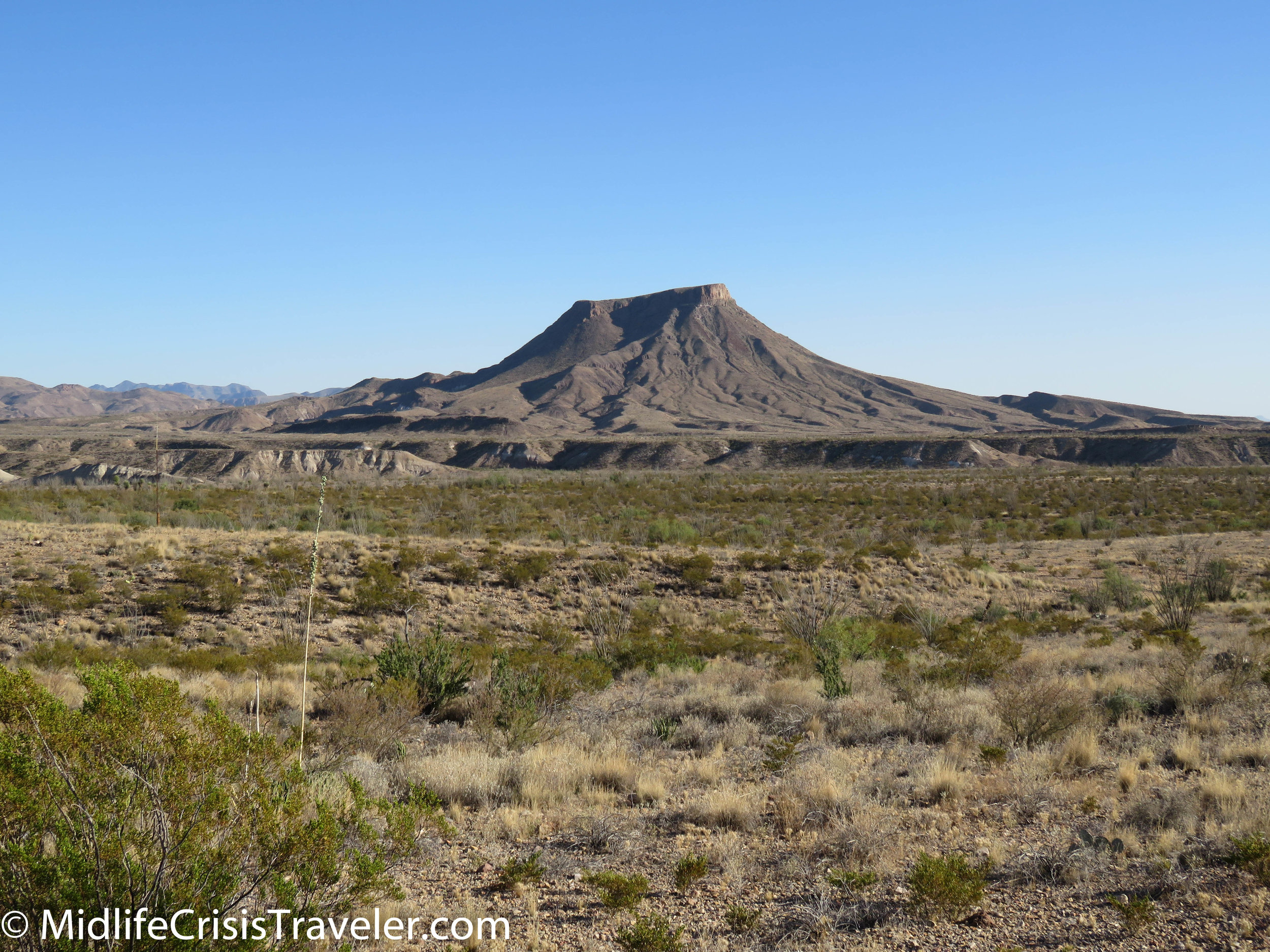
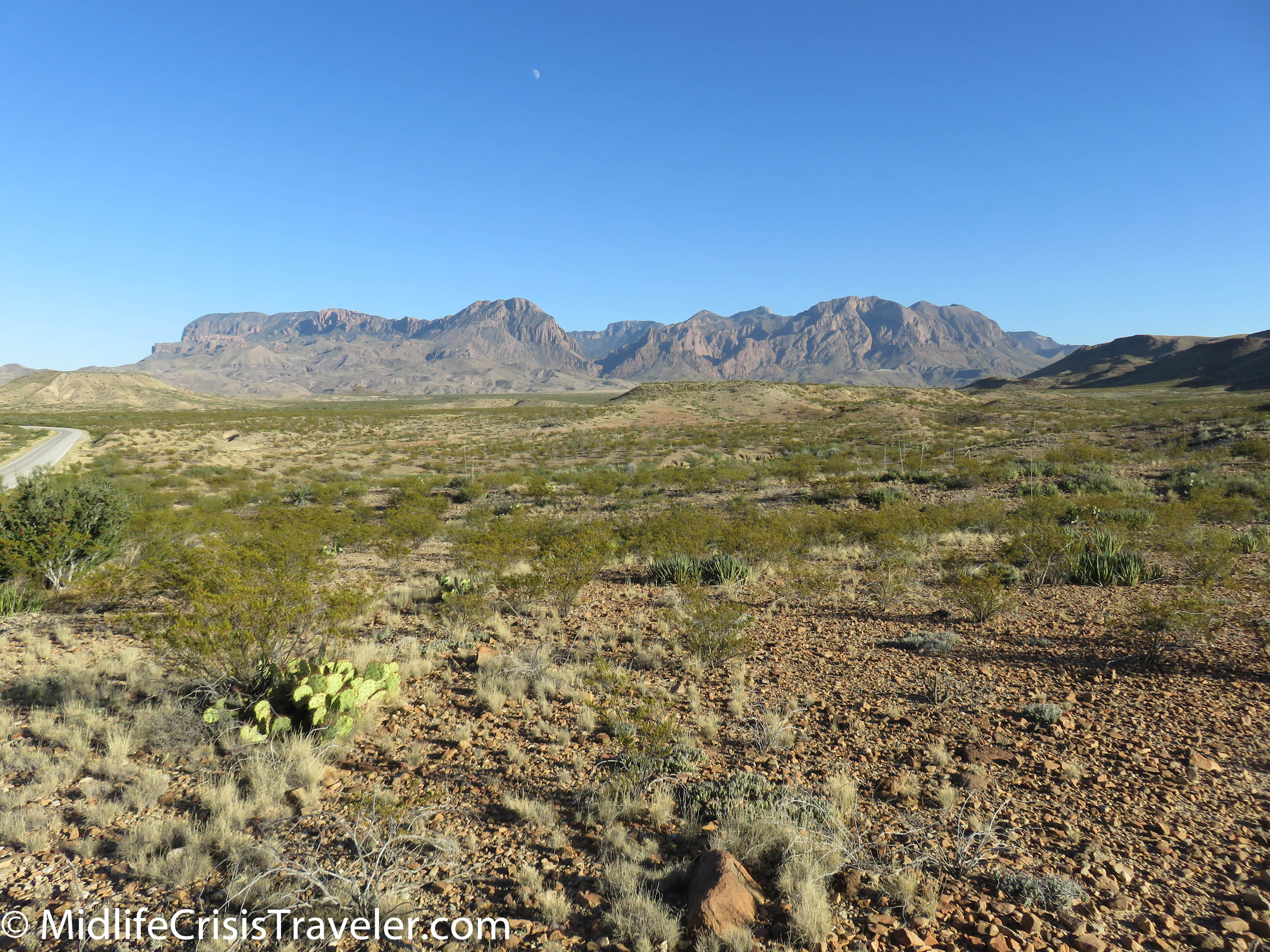
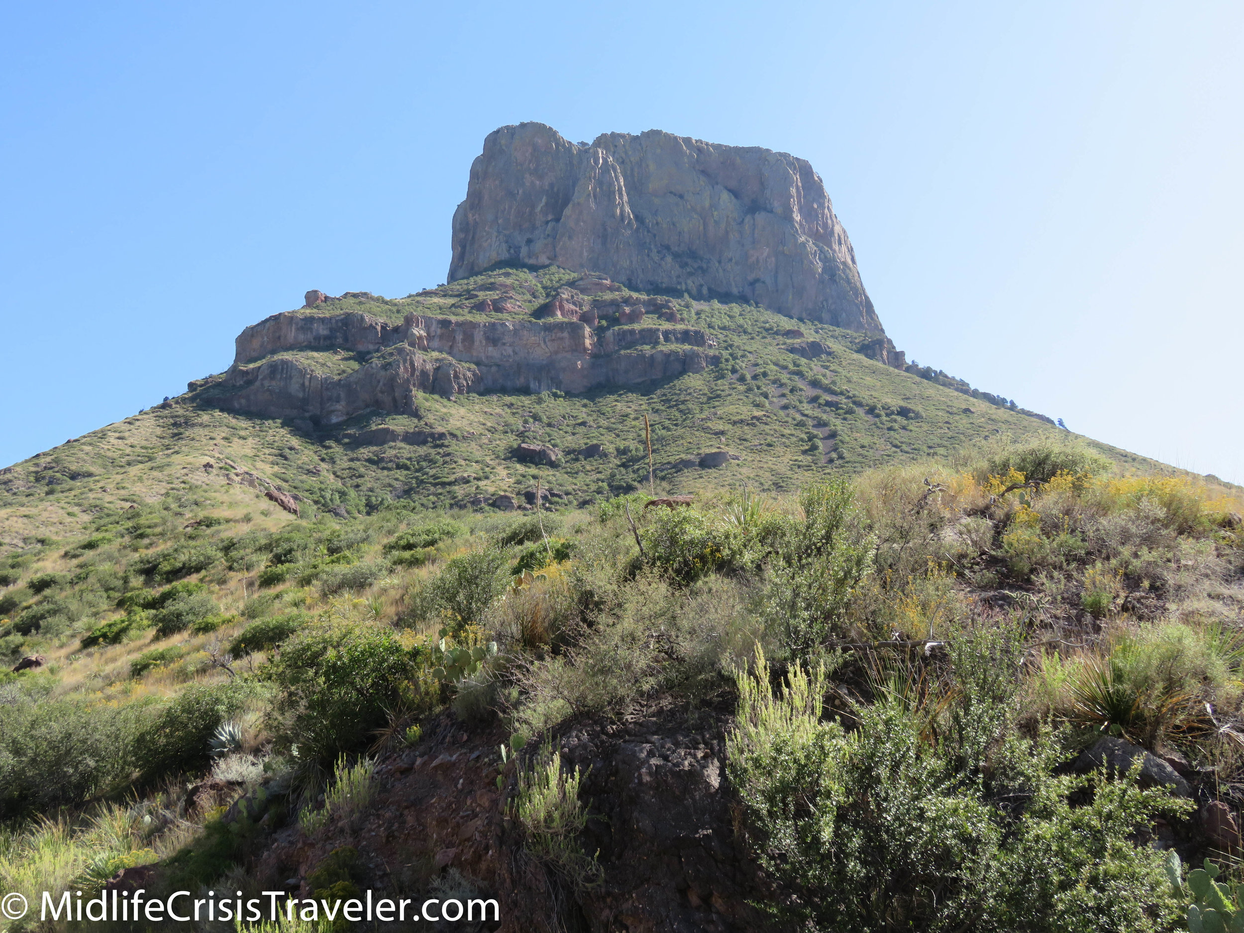
Big Bend lives up to both words which make up its famous name.  It is bigger than big and features grand vistas and wide valleys.  There are stunning rock formations, an infamous river and adventures on land and in the water. If you want a more extreme adventure, I recommend driving a four-wheel drive/high center vehicle on some of the dirt roads or take a kayak down the Rio Grande River. 

Big Bend NP-1.jpg
Big Bend NP-2.jpg
Big Bend NP-4.jpg
Big Bend NP-3.jpg
Big Bend NP-40.jpg
Big Bend NP-41.jpg
Big Bend NP-42.jpg
Big Bend NP-52.jpg
Big Bend NP-47.jpg
Big Bend NP-49.jpg
Big Bend NP-48.jpg
Big Bend NP-51.jpg
Big Bend NP-53.jpg
Big Bend NP-56.jpg
Big Bend NP-57.jpg
Big Bend NP-58.jpg
Big Bend NP-61.jpg
Big Bend NP-59.jpg
Big Bend NP-60.jpg
Big Bend NP-62.jpg
Big Bend NP-64.jpg
Big Bend NP-63.jpg

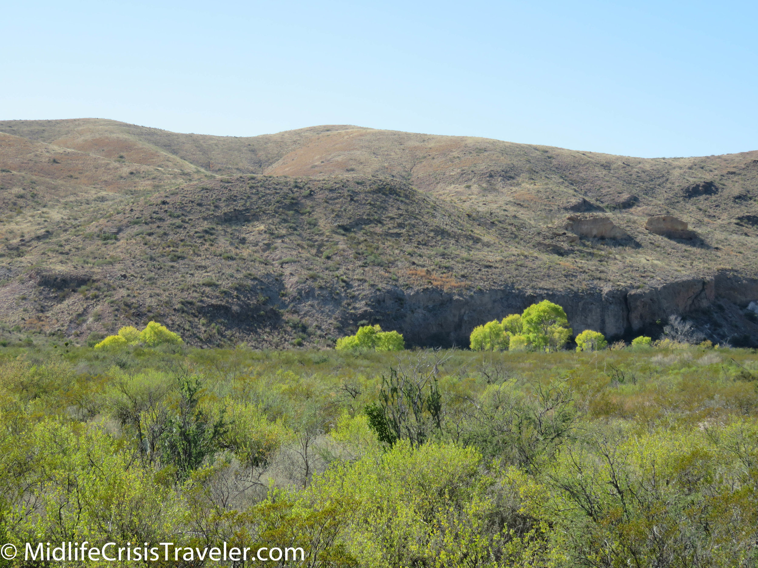
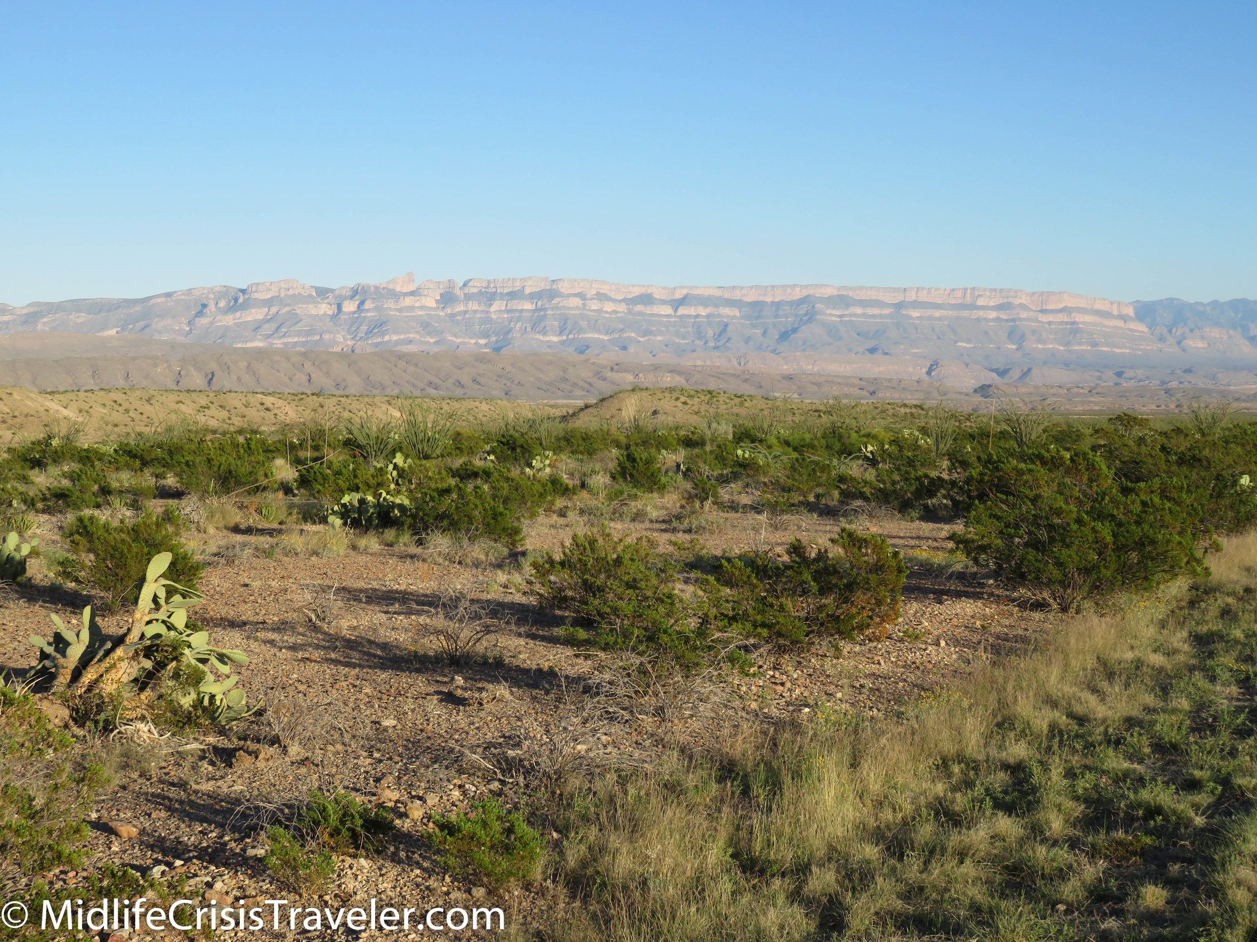
This is not a barren desert.  The landscape has many different species of plants and cactus.  It is a thriving ecosystem in a place that doesn’t get a ton of precipitation.  In fact, this area averages about 14 inches of precipitation per year.  Obviously the Rio Grande river basin helps but some of these areas like Panther Junction and Chisos Basin produce vibrant foliage. 

Big Bend NP-65.jpg
Big Bend NP-203.jpg
Big Bend NP-66.jpg
Big Bend NP-67.jpg
Big Bend NP-68.jpg
Big Bend NP-72.jpg
Big Bend NP-201.jpg
Big Bend NP-202.jpg
Big Bend NP-204.jpg
Big Bend NP-205.jpg
Big Bend NP-227.jpg
Big Bend NP-243.jpg
Big Bend NP-244.jpg
Big Bend NP-245.jpg
Big Bend NP-246.jpg

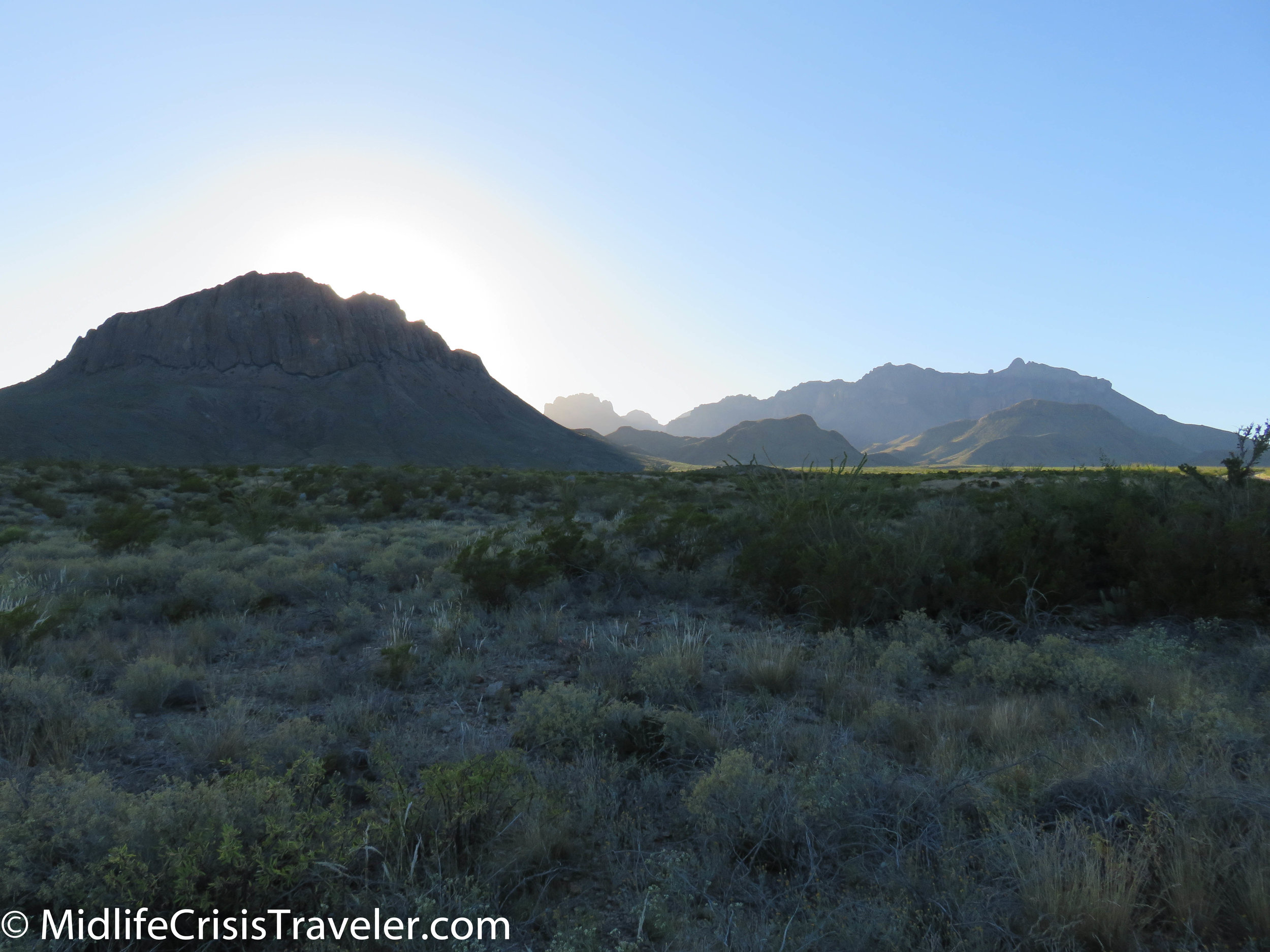
Sunset watchers have some choices at Big Bend.  The patio at Chisos Mountain Lodge is pretty wonderful.  If you enjoy a more 360 degree view, Gano Springs Road or the Ross Maxwell Scenic Drive give you ample opportunity to see shades of light and shadows against mountains, mesas and rolling hills. 

Big Bend NP-6.jpg
Big Bend NP-8.jpg
Big Bend NP-9.jpg
Big Bend NP-10.jpg
Big Bend NP-12.jpg
Big Bend NP-11.jpg
Big Bend NP-13.jpg
Big Bend NP-14.jpg
Big Bend NP-81.jpg
Big Bend NP-80.jpg
Big Bend NP-15.jpg
Big Bend NP-16.jpg
Big Bend NP-17.jpg
Big Bend NP-33.jpg
Big Bend NP-32.jpg
Big Bend NP-34.jpg
Big Bend NP-35.jpg
Big Bend NP-685.jpg

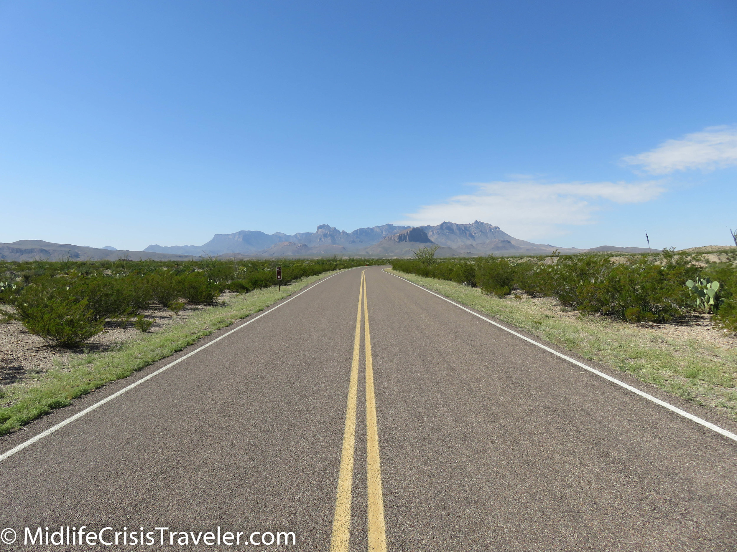
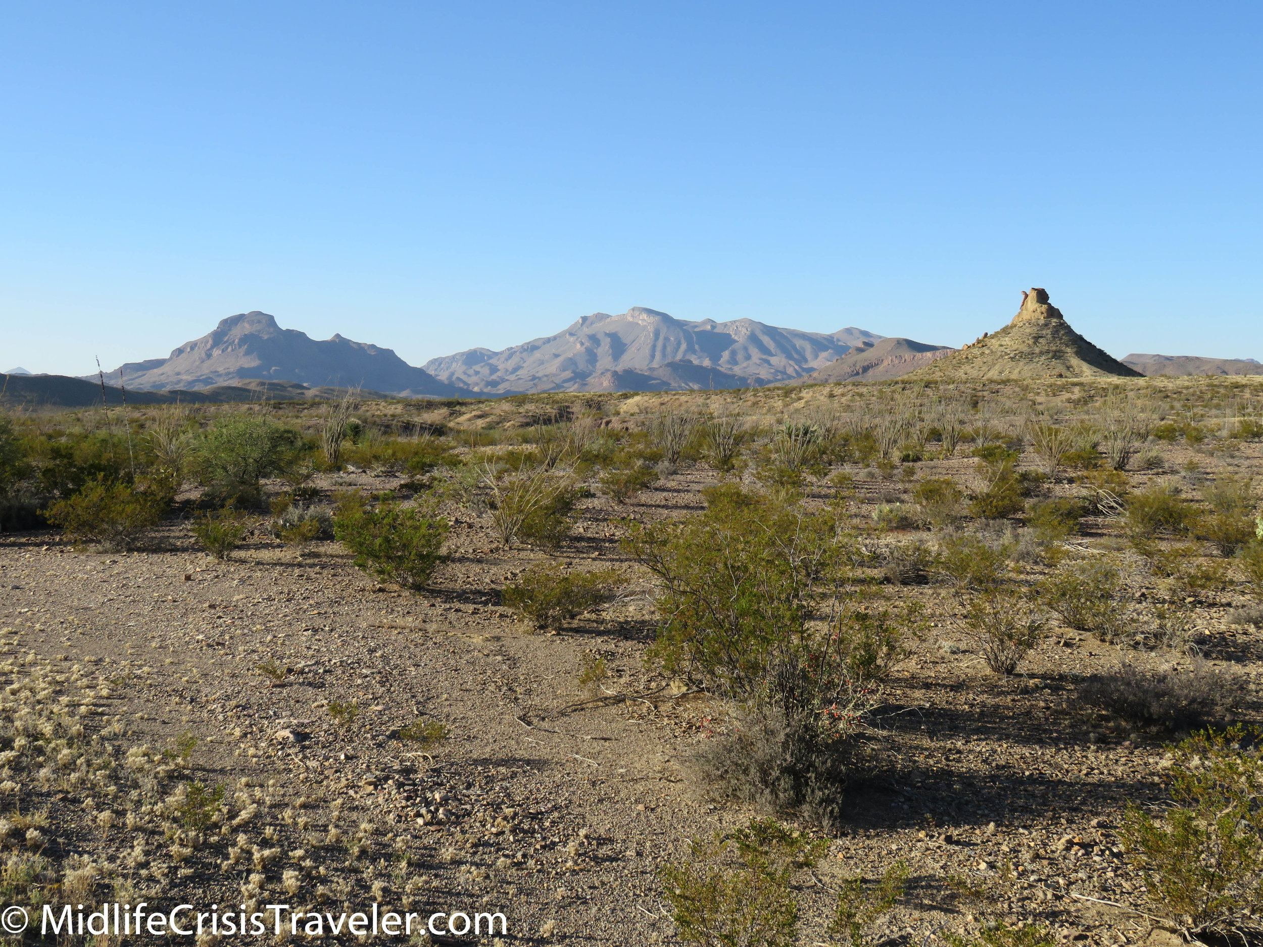
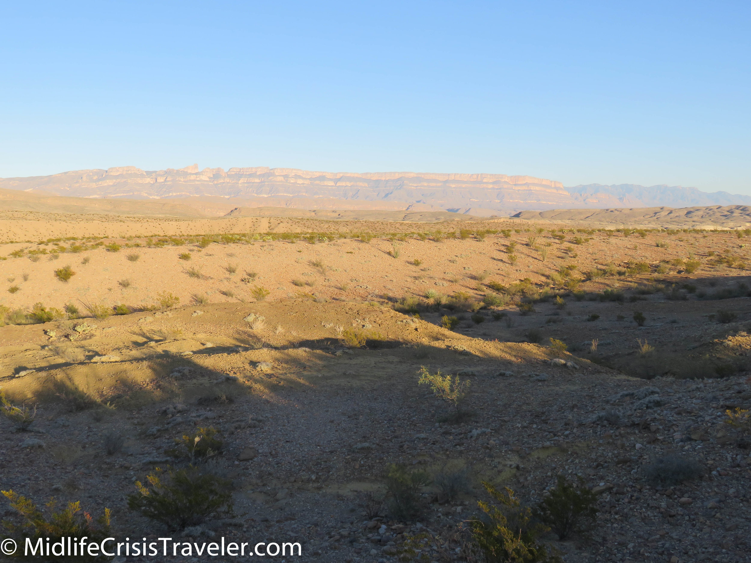
On a clear day, you can see mountains for miles and miles.  Main Park Road which takes you from Panther Junction to the Persimmon Gap visitor center is a long drive so be prepared.  The road features the Fossil Exhibit which I featured in another article and I highly recommend.  Big Bend is a big park, measuring over 800,000 acres, and this drive covers a huge chunk of land. 

Big Bend NP-689.jpg
Big Bend NP-692.jpg
Big Bend NP-694.jpg
Big Bend NP-696.jpg
Big Bend NP-698.jpg
Big Bend NP-702.jpg
Big Bend NP-706.jpg
Big Bend NP-708.jpg
Big Bend NP-736.jpg
Big Bend NP-737.jpg
Big Bend NP-738.jpg
Big Bend NP-739.jpg

Have you visited Big Bend National Park?  What was your experience like?  For more information on Big Bend, click the link below.

https://www.nps.gov/bibe/index.htm